10 Farndale Crescent, Greenford, UB6 9LJ
About 10 Farndale Crescent
10 Farndale Crescent is a semi-detached house in Greenford (UB6 9LJ). It has a recorded floor area of 63 m² (around 678 sq ft), construction records dating it to 1930-1949 and council tax band E. The latest certificate (July 2020) shows a D (score 65), on the cusp of jumping into the C band. The recommended improvements would lift it to B (score 87), a 2-band jump.
At 63 m² it sits well below the postcode median (116 m² across 11 EPCs), making it one of the more compact homes locally. 2 planning records sit against the property, 2 approved, 0 refused. Past consents include an extension, meaningful when judging how the property has evolved. Today's modelled estimate of £558,000 is 15.1% above the 2021 sale price. On a £-per-square-foot basis, the last sale (£715/sq ft) was about 248% above the typical sold price in the postcode. Most recent transfer: March 2021 at £485,000. That sale was during the post-pandemic price surge, when transactions cleared materially above pre-2020 trend.
Know exactly what you're buying at 10 Farndale Crescent
Before you offer, see what the listing won't tell you, the true value, the red flags and the full history.
Already flagged here
Valuation
against the asking price
Risks
planning & flood
Sold prices
similar homes nearby
Trends
the local market
Energy performance
Recommended upgrades on file would lift this property by multiple EPC bands.
EPC Rating
Planning history
10 Farndale Crescent has 2 separate extension applications on the council record.
- Jul 2021ExtensionOutlineIn report
Extension: Single storey · Rear of property
Single storey rear extension (max 4m deep and max 3.16m high) (42 Days Prior Approval Notification Process)
- Documents
- 13 docs on file
- Reference
- 214195PALHE
- May 2021ExtensionOutlineIn report
Extension: Single storey · Rear of property
Single storey rear extension (max 4m deep and max 3.24m high) (42 Days Prior Approval Notification Process)
- Documents
- 11 docs on file
- Reference
- 213347PALHE
We flagged 1 thing worth checking at 10 Farndale Crescent
Independent checks surfaced things a buyer would want to understand before offering. The report explains each one in full, with the underlying data and what to ask.
- Signs of HMO activity in the area
30-day money-back guarantee
Sales history & valuation
The latest sale landed in the post-pandemic price surge — useful context when reading the figure.
£558,000
Modelled from EPC, postcode comparables.
£485,000
Recorded with HM Land Registry.
Sales timeline
16 March 2021Most recent
£485,000
Median price across the last 5 sales in UB6 9LJ: £362,000 (2016–2007).
Nearby sales in UB6 9LJ
1 Farndale Crescent, Greenford, UB6 9LJ
Sold Jan 2016
£500,0002 Farndale Crescent, Greenford, UB6 9LJ
Sold May 2015
£394,0009 Farndale Crescent, Greenford, UB6 9LJ
Sold Aug 2011
£360,0006 Farndale Crescent, Greenford, UB6 9LJ
Sold Jun 2007
£362,0004 Farndale Crescent, Greenford, UB6 9LJ
Sold Sept 2006
£375,000
Everything we know about 10 Farndale Crescent, in one report
What it's really worth, what could be wrong, and the planning, sales and area data in full.
What we flagged
- Signs of HMO activity in the area

Versus other Farndale Crescent homes
On price per m², 10 Farndale Crescent stands well clear of the street.
Price per m²
£7,698
Street avg £2,982
Floor Area
63 m²
Street avg 120 m²
Habitable Rooms
3 rooms
Street avg 5 rooms
CO₂ Emissions
2.8 t/year
Street avg 5.2 t/year
Similar properties nearby
The neighbourhood at a glance
Reported crime in the wider district is trending notably upward year-on-year.
Crime
7/mo
Rising year-on-year across the wider district.
Nearest stop
0.1 km
Farndale Crescent — bus stop.
Closest school
0.2 km
Coston Primary School. 41 schools nearby.
Go deeper on the local area
The full report breaks down crime, transport links, schools and air quality in depth.
Road noise across the postcode
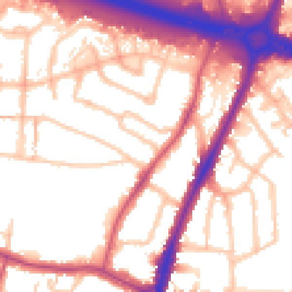
Daytime· 07:00 – 23:00
56.4dB

Night-time· 23:00 – 07:00
48.0dB