64 Daryngton Drive, Greenford, UB6 8BL
About 64 Daryngton Drive
64 Daryngton Drive is a semi-detached house in Greenford (UB6 8BL). It has a recorded floor area of 104 m² (around 1119 sq ft), construction records dating it to 1950-1966 and council tax band E. The latest certificate (January 2016) shows an E (score 50), well below the UK norm with real room to improve. The rating has held steady at E across 2 certificates since June 2013. Between certificates, hot-water efficiency went from Very Poor to Average and lighting went from Poor to Very Good; while roof efficiency dropped from Poor to Very Poor. The recommended improvements would lift it to B (score 82), a 3-band jump. The latest certificate is from January 2016, so improvements made since then won't be reflected.
It hasn't traded since February 1996, a hold of 30 years that's notably long for the area. Only one transfer is on record with HM Land Registry, suggesting it has stayed in the same hands for a long time. Today's modelled estimate of £556,000 sits 517.8% above the 1996 sale of £90,000. On a £-per-square-foot basis, the last sale (£80/sq ft) was about 74% below the postcode norm. One planning record on file: an extension approved in 2016. Past consents include an extension and partial demolition, meaningful when judging how the property has evolved. It lags the bulk of the postcode on energy efficiency (less efficient than 77% of similar EPCs).
Know exactly what you're buying at 64 Daryngton Drive
Before you offer, see what the listing won't tell you, the true value, the red flags and the full history.
Already flagged here
Valuation
against the asking price
Risks
planning & flood
Sold prices
similar homes nearby
Trends
the local market
Energy performance
64 Daryngton Drive's carbon output runs well above what efficient homes in the postcode produce.
EPC Expired
This certificate is over 10 years old and is no longer valid.Expired 12 Jan 2026
EPC Rating
Property Improvements
Changes detected from historical EPC data
Heating controls changed
Hot water system upgraded
More low energy lighting installed
Planning history
Planning history includes recorded demolition works, indicating a major rebuild phase at this address.
- Oct 2016DemolitionOutlineIn report
Extension: Single storey · Rear of property
Single storey (Max 6m deep and Max 4m high) extension (42 day Prior Notification Process) following demolition of the existing rear addition
- Agent
- Repairs and Adaptations Service
Extension- Documents
- 10 docs on file
- Reference
- 164611PALHE
We flagged 2 things worth checking at 64 Daryngton Drive
Independent checks surfaced things a buyer would want to understand before offering. The report explains each one in full, with the underlying data and what to ask.
- Signs of HMO activity in the area
- Larger development activity nearby
30-day money-back guarantee
Sales history & valuation
64 Daryngton Drive's modelled value sits at over four times its earliest registered sale price (1996).
£556,000
Modelled from EPC, postcode comparables.
£90,000
Recorded with HM Land Registry.
Sales timeline
26 February 1996Most recent
£90,000
Median price across the last 5 sales in UB6 8BL: £625,000 (2024–2022).
Nearby sales in UB6 8BL
Everything we know about 64 Daryngton Drive, in one report
What it's really worth, what could be wrong, and the planning, sales and area data in full.
What we flagged
- Signs of HMO activity in the area
- Larger development activity nearby

Versus other Daryngton Drive homes
64 Daryngton Drive is notably below the street on price per m².
Price per m²
£865
Street avg £4,943
Floor Area
104 m²
Street avg 101 m²
Habitable Rooms
3 rooms
Street avg 5 rooms
CO₂ Emissions
6.1 t/year
Street avg 4.1 t/year
Similar properties nearby
1 Conway Crescent, Perivale
UB6 8HX
1 Costons Avenue
UB6 8RJ
1 Bideford Avenue, Perivale
UB6 8DB
1 Bleasdale Avenue, Perivale
UB6 8LB
1 Birkbeck Avenue
UB6 8LS
1 Betham Road
UB6 8RY
1 Coniston Avenue, Perivale
UB6 8ED
1 Cayton Road
UB6 8BJ
The neighbourhood at a glance
Rail-style transport is unusually close for this postcode.
Crime
7/mo
Rising year-on-year across the wider district.
Nearest stop
0.2 km
South Greenford Station — bus stop.
Closest school
0.4 km
Selborne Primary School. 36 schools nearby.
Go deeper on the local area
The full report breaks down crime, transport links, schools and air quality in depth.
Road noise across the postcode
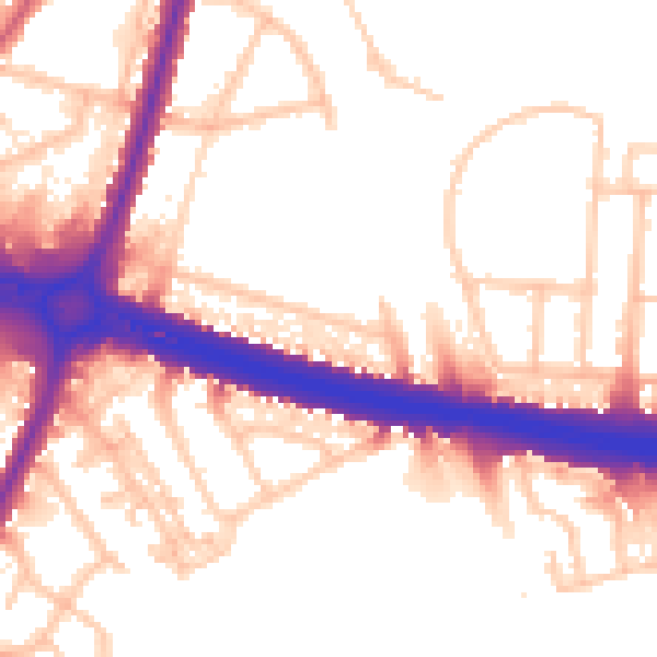
Daytime· 07:00 – 23:00
55.7dB

Night-time· 23:00 – 07:00
48.5dB