12 Bedser Drive, Greenford, UB6 0SD
About 12 Bedser Drive
12 Bedser Drive is a three-bedroom mid-terrace house in Greenford (UB6 0SD). It has a recorded floor area of 103 m² (around 1109 sq ft), construction records dating it to 1967-1975 and council tax band D. The latest certificate (July 2016) shows an E (score 53), well below the UK norm with real room to improve. Earlier certificates rated it D (June 2013); the latest reading is one band lower. Between certificates, roof efficiency went from Poor to Good and lighting went from Average to Very Good; while window efficiency dropped from Good to Average and hot-water efficiency dropped from Good to Average. The recommended improvements would lift it to B (score 81), a 3-band jump.
At 103 m² it's 16.4% larger than the typical home in the postcode (89 m² median across 12 EPCs). On energy efficiency it sits in the bottom 10% of properties in this postcode — significant headroom for improvement. 2 planning records sit against the property, 2 approved, 0 refused. Past consents include an extension, a garage conversion and new windows, meaningful when judging how the property has evolved. Across 2008–2017, sale prices on this property compounded at 5% per year. Today's modelled estimate of £526,000 is 22.3% above the 2017 sale price. On a £-per-square-foot basis, the last sale (£388/sq ft) was about 42.5% above the typical sold price in the postcode. 9 years since the last transfer (January 2017).
Know exactly what you're buying at 12 Bedser Drive
Before you offer, see what the listing won't tell you, the true value, the red flags and the full history.
Already flagged here
Valuation
against the asking price
Risks
planning & flood
Sold prices
similar homes nearby
Trends
the local market
What this property has
Inside
- Bedrooms3
- Bathrooms2
- Dining roomYes
- Utility roomYes
Outside
- Private gardenYes
- GarageIntegral
Energy performance
12 Bedser Drive sits at the bottom of the postcode for energy efficiency — meaningful headroom to improve.
EPC Rating
Property Improvements
Changes detected from historical EPC data
Heating controls changed
Hot water system changed
Loft insulation upgraded to recommended levels
More low energy lighting installed
Planning history
12 Bedser Drive has an approved single-storey rear extension on the planning record.
- Mar 2021ExtensionOutlineIn report
Extension: Single storey · Rear of property
Single storey rear extension (following demolition of existing rear addition) (Lawful Development Certificate for Proposed Development).
- Documents
- 6 docs on file
- Reference
- 210096CPL
- Jul 2017Garage ConversionFullIn report
Alteration of garage and porch roofs from flat to pitched associated with conversion of garage to habitable use; installation of window to front elevation
- Agent
- Structural DevelopmentsandILtd
ExtensionNew Windows- Documents
- 9 docs on file
- Reference
- 172873HH
We flagged 1 thing worth checking at 12 Bedser Drive
Independent checks surfaced things a buyer would want to understand before offering. The report explains each one in full, with the underlying data and what to ask.
- Signs of HMO activity in the area
30-day money-back guarantee
Sales history & valuation
12 Bedser Drive valuation sits well clear of the typical sold price in this postcode.
£526,000
Modelled from EPC, postcode comparables and a sale-price growth of 5.0% per year over 9 years.
£430,000
Growth on file: 5.0% per year over 9 years.
Sales timeline
3 January 2017Most recent
£430,000
+53.6%over 8 years29 February 2008
£280,000
Median price across the last 5 sales in UB6 0SD: £410,000 (2022–2016).
Nearby sales in UB6 0SD
Everything we know about 12 Bedser Drive, in one report
What it's really worth, what could be wrong, and the planning, sales and area data in full.
What we flagged
- Signs of HMO activity in the area

Versus other Bedser Drive homes
12 Bedser Drive is notably below the street on epc rating.
Price per m²
£4,175
Street avg £3,704
Floor Area
103 m²
Street avg 94 m²
Habitable Rooms
4 rooms
Street avg 4 rooms
CO₂ Emissions
5.8 t/year
Street avg 3.1 t/year
Similar properties nearby
The neighbourhood at a glance
Rail-style transport is unusually close for this postcode.
Crime
7/mo
Rising year-on-year across the wider district.
Nearest stop
0.1 km
Hemery Road — bus stop.
Closest school
0.3 km
Wood End Primary School. 34 schools nearby.
Go deeper on the local area
The full report breaks down crime, transport links, schools and air quality in depth.
Road noise across the postcode
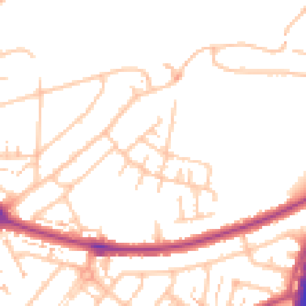
Daytime· 07:00 – 23:00
49.3dB

Night-time· 23:00 – 07:00
40.0dB