17 Eton Road, Hayes, UB3 5HR
About 17 Eton Road
17 Eton Road is a mid-terrace house in Hayes (UB3 5HR). It has a recorded floor area of 61 m² (around 657 sq ft), construction records dating it to 1930-1949 and council tax band C. The latest certificate (July 2017) shows a D (score 68), on the cusp of jumping into the C band. The recommended improvements would lift it to B (score 89), a 2-band jump.
Untraded for 24 years, with the last transfer in September 2002. Across 1995–2002, sale prices on this property compounded at 19.2% per year. Today's modelled estimate of £336,000 sits 148.9% above the 2002 sale of £135,000. On a £-per-square-foot basis, the last sale (£206/sq ft) was about 15.5% below the postcode norm.
Know exactly what you're buying at 17 Eton Road
Before you offer, see what the listing won't tell you, the true value, the red flags and the full history.
Valuation
against the asking price
Risks
planning & flood
Sold prices
similar homes nearby
Trends
the local market
Energy performance
Recommended upgrades on file would lift this property by multiple EPC bands.
EPC Rating
Planning history
17 Eton Road has no planning applications on record.
Notable planning nearby
3applications of note in the surrounding area
Sales history & valuation
17 Eton Road has more than tripled in price since its earliest registered sale in 1995.
£336,000
Modelled from EPC, postcode comparables and a sale-price growth of 19.2% per year over 8 years.
£135,000
Growth on file: 19.2% per year over 8 years.
Sales timeline
11 September 2002Most recent
£135,000
+275.0%over 7 years28 February 1995
£36,000
Median price across the last 5 sales in UB3 5HR: £337,000 (2024–2019).
Everything we know about 17 Eton Road, in one report
What it's really worth, what could be wrong, and the planning, sales and area data in full.
- Am I paying too much?
- Is something wrong with it?
- Is the agent's story true?
- Will it hold its value?

Versus other Eton Road homes
On years held, 17 Eton Road stands well clear of the street.
Price per m²
£2,213
Street avg £3,748
Floor Area
61 m²
Street avg 69 m²
Habitable Rooms
3 rooms
Street avg 4 rooms
CO₂ Emissions
2.4 t/year
Street avg 3.5 t/year
Similar properties nearby
1 Grampian Close, Harlington
UB3 5LQ
1 Craneswater
UB3 5HW
1 Cheviot Close, Harlington
UB3 5LR
1 Gilpin Way, Harlington
UB3 5LZ
1 Heath Close, Harlington
UB3 5LA
1 Kiln Close, Harlington
UB3 5DZ
1 Harlington Close, Harlington
UB3 5BW
1 Little Elms, Harlington
UB3 5EE
The neighbourhood at a glance
Reported crime in the wider district is trending notably upward year-on-year.
Crime
8/mo
Rising year-on-year across the wider district.
Nearest stop
0.2 km
Oxford Avenue — bus stop.
Closest school
1.2 km
Cranford Community College. 16 schools nearby.
Go deeper on the local area
The full report breaks down crime, transport links, schools and air quality in depth.
Road noise across the postcode
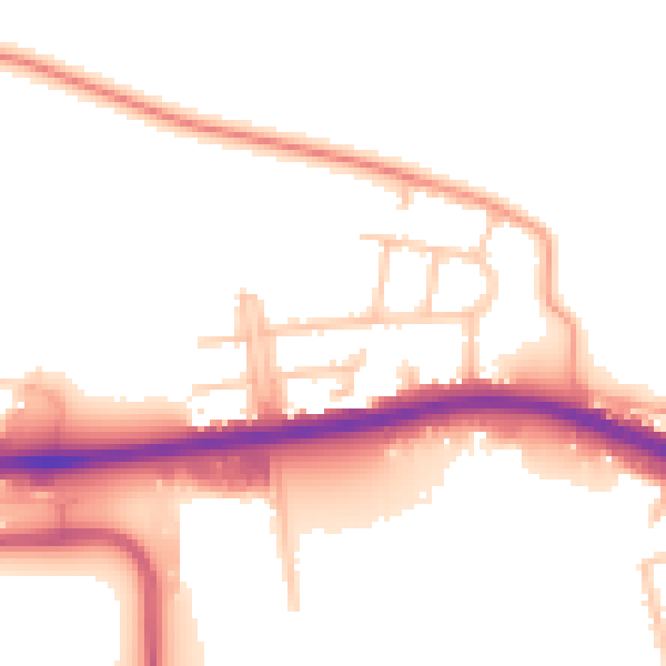
Daytime· 07:00 – 23:00
53.5dB

Night-time· 23:00 – 07:00
47.5dB