15 Meredith Close, Creech St Michael, Taunton, TA3 5BF
About 15 Meredith Close
15 Meredith Close is a four-bedroom detached house in Creech St. Michael, Taunton, Taunton (TA3 5BF). It has a recorded floor area of 135 m² (around 1453 sq ft), construction records dating it to 2007-2011 and council tax band E. The latest certificate (May 2025) shows a C (score 79), near the top of the C band. Earlier certificates rated it B (August 2010); the latest reading is one band lower. Between certificates, lighting went from Average to Very Good; while window efficiency dropped from Very Good to Good and hot-water efficiency dropped from Very Good to Good. The recommended improvements would push it to B (score 88).
At 135 m² the property is well over the postcode median (104 m² across 16 EPCs), placing it in the larger end of the local stock. Across 2011–2019, sale prices on this property compounded at 1.9% per year. Today's modelled estimate of £486,000 is 25.4% above the 2019 sale price. On a £-per-square-foot basis, the last sale (£267/sq ft) was about 21.4% above the typical sold price in the postcode. Most recent transfer: March 2019 at £387,500.
What this property has
Inside
- Bedrooms4
- Bathrooms2
- Dining roomYes
- Utility roomYes
- StudyYes
Building
- Central heatingYes
- RefurbishedYes
Everything you need to know about 15 Meredith Close
The true value, the hidden risks and the full sale history, in one report.
Pick your report · every report is £14.99
One time fee only - money back guarantee

The data behind every report


Energy performance
EPC Rating
Property Improvements
Changes detected from historical EPC data
Heating controls changed
Hot water efficiency decreased
Wall insulation upgraded
More low energy lighting installed
Get a survey for this property
Level 2 HomeBuyer Report
We've checked 10 risk factors against the available data for this property and believe a Level 2 HomeBuyer Report could be a suitable option for you.
From £695 · Includes VAT
Planning history
15 Meredith Close has no planning applications on record.
But the area is active
1 notable application nearby — larger schemes and conversions that could reshape the street. The report maps them all.
Sales history & valuation
15 Meredith Close valuation sits well clear of the typical sold price in this postcode.
£486,000
Modelled from EPC, postcode comparables and a sale-price growth of 1.9% per year over 8 years.
£387,500
Growth on file: 1.9% per year over 8 years.
Sales timeline
15 March 2019Most recent
£387,500
+15.7%over 7 years23 August 2011
£334,950
Median price across the last 5 sales in TA3 5BF: £295,000 (2021–2015).
Nearby sales in TA3 5BF
7 Meredith Close, Creech St Michael, Taunton, TA3 5BF
Sold Jun 2021
£360,00017 Meredith Close, Creech St Michael, Taunton, TA3 5BF
Sold Dec 2020
£295,0005 Meredith Close, Creech St Michael, Taunton, TA3 5BF
Sold Oct 2020
£397,5003 Meredith Close, Creech St Michael, Taunton, TA3 5BF
Sold Sept 2015
£218,0009 Meredith Close, Creech St Michael, Taunton, TA3 5BF
Sold Feb 2013
£310,000
Versus other Meredith Close homes
On price per m², 15 Meredith Close stands well clear of the street.
Price per m²
£2,870
Street avg £2,570
Floor Area
135 m²
Street avg 113 m²
Habitable Rooms
6 rooms
Street avg 5 rooms
CO₂ Emissions
2.6 t/year
Street avg 2.2 t/year
Everything you need to know about 15 Meredith Close
The true value, the hidden risks and the full sale history, in one report.
Pick your report · every report is £14.99
One time fee only - money back guarantee
The data behind every report
Similar properties nearby
1 Fouracres, Henlade
TA3 5HU
1 Derham Close, Creech St Michael
TA3 5FG
1 Cogload Farm Cottages, West Lyng
TA3 5AW
1 Gadbridge Cottages, Stoke St Mary
TA3 5BS
1 Carpenters Close, Ruishton
TA3 5JE
1 Charlton Road Cottages, Charlton Road, Creech Heathfield
TA3 5PD
1 Castle View, Curland
TA3 5SB
1 Fairview, Bull Street, Creech St Michael
TA3 5PW
The neighbourhood at a glance
Crime
3/mo
Steady year-on-year across the wider district.
Nearest stop
0.4 km
Paddock Close — bus stop.
Closest school
0.3 km
Creech St Michael Church of England Primary School. 7 schools nearby.
Go deeper on the local area
A Local Area report breaks down crime, transport links, schools and air quality in depth.
Road noise across the postcode
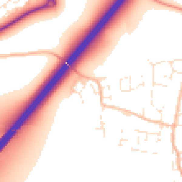
Daytime· 07:00 – 23:00
55.1dB

Night-time· 23:00 – 07:00
46.0dB