6 Trelawney Flats, Whitchurch Road, Shrewsbury, SY1 4DS
About 6 Trelawney Flats
6 Trelawney Flats is a detached house in Shrewsbury (SY1 4DS). It has a recorded floor area of 68 m² (around 732 sq ft), construction records dating it to 1967-1975 and council tax band A. At 68 m² this is the 6th smallest of 7 units on EPC record in the building, where floor areas span 66–69 m². The building's EPC ratings span D to C, with this unit at the bottom. On EPC score it ranks last in the building (57 versus a best of 74). The latest certificate (January 2020) shows a D (score 57), a step below the typical UK home. The recommended improvements would push it to C (score 77). Main heating runs on electricity.
Held since June 1996 — that's 30 years off the open market, well above the local norm. Only one transfer is on record with HM Land Registry, suggesting it has stayed in the same hands for a long time. Today's modelled estimate of £126,000 sits 306.5% above the 1996 sale of £31,000. On a £-per-square-foot basis, the last sale (£42/sq ft) was about 62.7% below the postcode norm.
Everything you need to know about 6 Trelawney Flats
The true value, the hidden risks and the full sale history, in one report.
30-day money-back guarantee

The data behind every report


Energy performance
EPC Rating
Planning history
6 Trelawney Flats has no planning applications on record.
The full report still covers planning activity across the surrounding area.
Sales history & valuation
6 Trelawney Flats's modelled value sits at over four times its earliest registered sale price (1996).
£126,000
Modelled from EPC, postcode comparables.
£31,000
Recorded with HM Land Registry.
Sales timeline
20 June 1996Most recent
£31,000
Median price across the last 5 sales in SY1 4DS: £112,000 (2022–2020).
Nearby sales in SY1 4DS
76 Whitchurch Road, Shrewsbury, SY1 4DS
Sold Jul 2022
£112,0008 Trelawney Flats, Whitchurch Road, Shrewsbury, SY1 4DS
Sold Apr 2022
£114,99590a, Whitchurch Road, Shrewsbury, SY1 4DS
Sold Jul 2021
£97,00090 Whitchurch Road, Shrewsbury, SY1 4DS
Sold Feb 2021
£122,50074 Whitchurch Road, Shrewsbury, SY1 4DS
Sold Jan 2020
£225,000
Versus other Whitchurch Road homes
On price per m², 6 Trelawney Flats runs well behind the street norm.
Price per m²
£456
Street avg £1,751
Floor Area
68 m²
Street avg 62 m²
Habitable Rooms
3 rooms
Street avg 3 rooms
CO₂ Emissions
5.1 t/year
Street avg 2.9 t/year
Everything you need to know about 6 Trelawney Flats
The true value, the hidden risks and the full sale history, in one report.
30-day money-back guarantee
The data behind every report
Similar properties nearby
Flat A, 105 Meadow Farm Drive
SY1 4JX
8 Trelawney Flats, Whitchurch Road
SY1 4DS
5 Trelawney Flats, Whitchurch Road
SY1 4DS
Flat B, 103 Meadow Farm Drive
SY1 4JX
3 Trelawney Flats, Whitchurch Road
SY1 4DS
7 Trelawney Flats, Whitchurch Road
SY1 4DS
Flat A, 101 Meadow Farm Drive
SY1 4JX
1 Trelawney Flats, Whitchurch Road
SY1 4DS
The neighbourhood at a glance
Reported crime in the wider district is trending notably upward year-on-year.
Crime
10/mo
Rising year-on-year across the wider district.
Nearest stop
2.3 km
Shrewsbury Rail Station — railway station.
Closest school
0.5 km
Sundorne Infant School and Nursery. 14 schools nearby.
Go deeper on the local area
The full report breaks down crime, transport links, schools and air quality in depth.
Road noise across the postcode
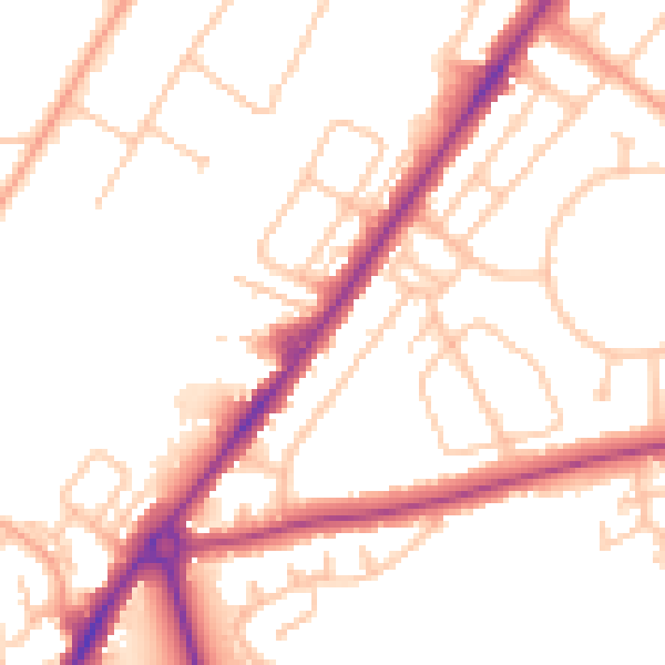
Daytime· 07:00 – 23:00
50.9dB

Night-time· 23:00 – 07:00
41.5dB