76 Whitchurch Road, Shrewsbury, SY1 4DS
About 76 Whitchurch Road
76 Whitchurch Road is a mid-terrace house in Shrewsbury (SY1 4DS). It has a recorded floor area of 97 m² (around 1044 sq ft), construction records dating it to 1930-1949 and council tax band B. The latest certificate (June 2022) shows a D (score 61), on the cusp of jumping into the C band. The recommended improvements would push it to C (score 80).
At 97 m² the property is well over the postcode median (68 m² across 15 EPCs), placing it in the larger end of the local stock. Today's modelled estimate of £176,000 sits 57.1% above the 2022 sale of £112,000. Last sale on file: £112,000 in July 2022. That sale was during the post-pandemic price surge, when transactions cleared materially above pre-2020 trend. One historical planning record sits against the property in 2010.
Everything you need to know about 76 Whitchurch Road
The true value, the hidden risks and the full sale history, in one report.
30-day money-back guarantee

The data behind every report


Energy performance
EPC Rating
Planning history
- Oct 2010FullIn report
Provision of a dropped kerb to form new vehicular access
- Documents
- 8 docs on file
- Reference
- 10/03947/FUL
What's in 76 Whitchurch Road, Shrewsbury, SY1 4DS's planning history?
Refusals, disputes and full decisions on this property and nearby, in the report.
Sales history & valuation
76 Whitchurch Road's sale-price growth has lagged the wider UK trajectory across its history on file.
£176,000
Modelled from EPC, postcode comparables and a sale-price growth of 0.2% per year over 17 years.
£112,000
Growth on file: 0.2% per year over 17 years.
Sales timeline
21 July 2022Most recent
£112,000
+2.8%over 17 years29 March 2005
£109,000
Median price across the last 5 sales in SY1 4DS: £114,995 (2022–2020).
Nearby sales in SY1 4DS
8 Trelawney Flats, Whitchurch Road, Shrewsbury, SY1 4DS
Sold Apr 2022
£114,99590a, Whitchurch Road, Shrewsbury, SY1 4DS
Sold Jul 2021
£97,00090 Whitchurch Road, Shrewsbury, SY1 4DS
Sold Feb 2021
£122,50074 Whitchurch Road, Shrewsbury, SY1 4DS
Sold Jan 2020
£225,000100 Whitchurch Road, Shrewsbury, SY1 4DS
Sold Feb 2017
£125,000
Versus other Whitchurch Road homes
76 Whitchurch Road is notably below the street on years held.
Price per m²
£1,155
Street avg £1,410
Floor Area
97 m²
Street avg 93 m²
Habitable Rooms
5 rooms
Street avg 5 rooms
CO₂ Emissions
4.8 t/year
Street avg 4.7 t/year
Everything you need to know about 76 Whitchurch Road
The true value, the hidden risks and the full sale history, in one report.
30-day money-back guarantee
The data behind every report
Similar properties nearby
The neighbourhood at a glance
Reported crime in the wider district is trending notably upward year-on-year.
Crime
10/mo
Rising year-on-year across the wider district.
Nearest stop
2.3 km
Shrewsbury Rail Station — railway station.
Closest school
0.5 km
Sundorne Infant School and Nursery. 14 schools nearby.
Go deeper on the local area
The full report breaks down crime, transport links, schools and air quality in depth.
Road noise across the postcode
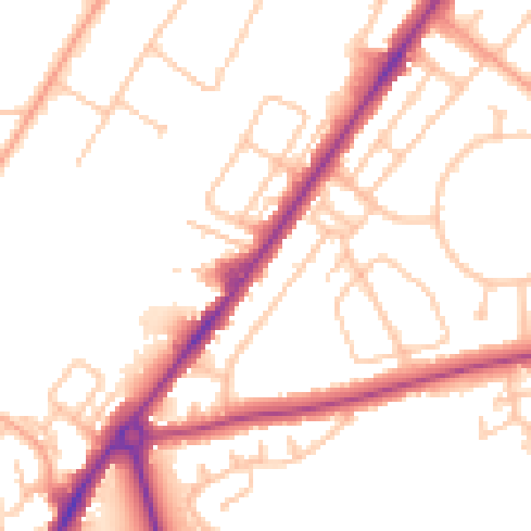
Daytime· 07:00 – 23:00
50.9dB

Night-time· 23:00 – 07:00
41.5dB