Flat A, 105 Meadow Farm Drive, Shrewsbury, SY1 4JX
About Flat A
Flat A is a detached house in Shrewsbury (SY1 4JX). It has a recorded floor area of 61 m² (around 657 sq ft), construction records dating it to 1950-1966 and council tax band A. The latest certificate (April 2013) shows a C (score 78), near the top of the C band. The latest certificate is from April 2013, so improvements made since then won't be reflected.
Everything you need to know about Flat A
The true value, the hidden risks and the full sale history, in one report.
30-day money-back guarantee

The data behind every report


Energy performance
Flat A's carbon output is low for the local stock.
EPC Expired
This certificate is over 10 years old and is no longer valid.Expired 23 Apr 2023
EPC Rating
Planning history
Flat A has no planning applications on record.
The full report still covers planning activity across the surrounding area.
Sales history & valuation
Flat A has no Land Registry sales on file, suggesting it has stayed in the same hands since registration began.
£127,000
Modelled from EPC, postcode comparables.
No sales recorded with HM Land Registry
That can mean the property has never traded since the registry began publishing in 1995, was a new build that hasn't been registered yet, or is held in the same hands long-term.
Median price across the last 1 sales in SY1 4JX: £100,000 (2021–2021).
Nearby sales in SY1 4JX
Versus other Meadow Farm Drive homes
On epc rating, Flat A stands well clear of the street.
EPC Rating
78 (C)
Street avg 64 (D)
Floor Area
61 m²
Street avg 57 m²
CO₂ Emissions
1.4 t/year
Street avg 2.6 t/year
Habitable Rooms
3 rooms
Street avg 3 rooms
Everything you need to know about Flat A
The true value, the hidden risks and the full sale history, in one report.
30-day money-back guarantee
The data behind every report
Similar properties nearby
6 Trelawney Flats, Whitchurch Road
SY1 4DS
5 Trelawney Flats, Whitchurch Road
SY1 4DS
Flat B, 103 Meadow Farm Drive
SY1 4JX
3 Trelawney Flats, Whitchurch Road
SY1 4DS
7 Trelawney Flats, Whitchurch Road
SY1 4DS
Flat A, 101 Meadow Farm Drive
SY1 4JX
8 Trelawney Flats, Whitchurch Road
SY1 4DS
1 Trelawney Flats, Whitchurch Road
SY1 4DS
The neighbourhood at a glance
Reported crime in the wider district is trending notably upward year-on-year.
Crime
10/mo
Rising year-on-year across the wider district.
Nearest stop
2.7 km
Shrewsbury Rail Station — railway station.
Closest school
0.2 km
Sundorne Infant School and Nursery. 14 schools nearby.
Go deeper on the local area
The full report breaks down crime, transport links, schools and air quality in depth.
Road noise across the postcode
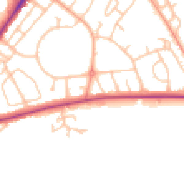
Daytime· 07:00 – 23:00
49.4dB

Night-time· 23:00 – 07:00
40.4dB