14 Parkfields, Endon, Stoke On Trent, ST9 9BD
About 14 Parkfields
14 Parkfields is a two-bedroom semi-detached house in Endon, Stoke-On-Trent, Stoke On Trent (ST9 9BD). It has a recorded floor area of 58 m² (around 624 sq ft), construction records dating it to 1950-1966 and council tax band C. The latest certificate (March 2013) shows an F (score 26), near the bottom of the EPC scale. The recommended improvements would lift it to B (score 90), a 4-band jump. Main heating runs on electricity. The latest certificate is from March 2013, so improvements made since then won't be reflected. Other recorded features include notable views.
At 58 m² it sits well below the postcode median (85 m² across 7 EPCs), making it one of the more compact homes locally. On energy efficiency it sits in the bottom 10% of properties in this postcode — significant headroom for improvement. Across 2013–2021, sale prices on this property compounded at 8.2% per year. Today's modelled estimate of £234,000 is 35.3% above the 2021 sale price. Sold January 2021 for £173,000. That sale was during the post-pandemic price surge, when transactions cleared materially above pre-2020 trend.
What this property has
Inside
- Bedrooms2
- Bathrooms1
Outside
- Private gardenSouth-facing
- DrivewayYes
- Notable viewsYes
Building
- Heating systemGas
Everything you need to know about 14 Parkfields
The true value, the hidden risks and the full sale history, in one report.
Pick your report · every report is £14.99
One time fee only - money back guarantee

The data behind every report


Energy performance
14 Parkfields sits at the bottom of the postcode for energy efficiency — meaningful headroom to improve.
EPC Expired
This certificate is over 10 years old and is no longer valid.Expired 29 Mar 2023
EPC Rating
Get a survey for this property
Level 2 HomeBuyer Report
We've checked 10 risk factors against the available data for this property and believe a Level 2 HomeBuyer Report could be a suitable option for you.
From £545 · Includes VAT
Planning history
14 Parkfields has no planning applications on record.
But the area is active
4 notable applications nearby — larger schemes and conversions that could reshape the street. The report maps them all.
Sales history & valuation
The latest sale landed in the post-pandemic price surge — useful context when reading the figure.
£234,000
Modelled from EPC, postcode comparables and a sale-price growth of 8.2% per year over 8 years.
£173,000
Growth on file: 8.2% per year over 8 years.
Sales timeline
25 January 2021Most recent
£173,000
+82.1%over 7 years27 June 2013
£95,000
Median price across the last 5 sales in ST9 9BD: £305,000 (2024–2018).
Nearby sales in ST9 9BD
1 Parkfields, Endon, Stoke On Trent, ST9 9BD
Sold Aug 2024
£305,00015 Parkfields, Endon, Stoke On Trent, ST9 9BD
Sold Apr 2022
£189,95018 Parkfields, Endon, Stoke On Trent, ST9 9BD
Sold Oct 2021
£350,00011 Parkfields, Endon, Stoke On Trent, ST9 9BD
Sold Dec 2020
£339,9509 Parkfields, Endon, Stoke On Trent, ST9 9BD
Sold May 2018
£160,000
Versus other Parkfields homes
On epc rating, 14 Parkfields runs well behind the street norm.
Price per m²
£2,983
Street avg £3,092
Floor Area
58 m²
Street avg 85 m²
Habitable Rooms
3 rooms
Street avg 5 rooms
CO₂ Emissions
5.5 t/year
Street avg 4.1 t/year
Everything you need to know about 14 Parkfields
The true value, the hidden risks and the full sale history, in one report.
Pick your report · every report is £14.99
One time fee only - money back guarantee
The data behind every report
Similar properties nearby
1 Bunts Lane, Stockton Brook
ST9 9PR
1 Embers Way, Endon
ST9 9HE
1 Florence Terrace, The Village, Endon
ST9 9AZ
1 High View Road, Endon
ST9 9HT
1 Grosvenor Close, Endon
ST9 9HU
1 Greenmeadow Grove, Endon
ST9 9EU
1 Hallwater Cottages, Hallwater, Endon
ST9 9HG
1 Brook Cottages, The Village, Endon
ST9 9EY
The neighbourhood at a glance
Daytime road noise here sits well below conversation level — a quiet pocket of the postcode.
Crime
2/mo
Steady year-on-year across the wider district.
Nearest stop
0.1 km
Toby Carvery — bus stop.
Closest school
0.2 km
Endon Hall Primary School. 5 schools nearby.
Go deeper on the local area
A Local Area report breaks down crime, transport links, schools and air quality in depth.
Road noise across the postcode
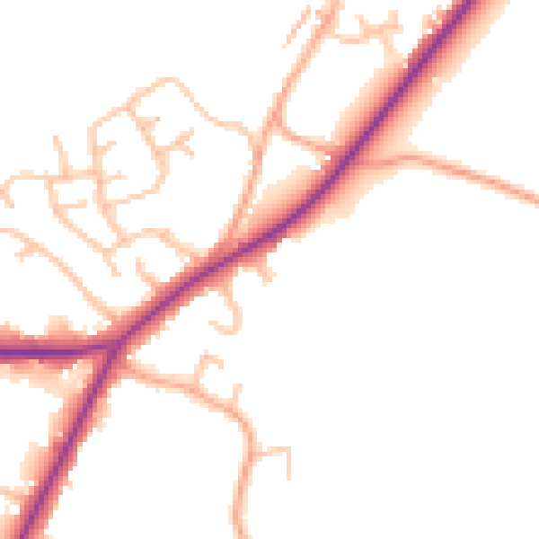
Daytime· 07:00 – 23:00
49.2dB

Night-time· 23:00 – 07:00
41.6dB