1 Ferndale Close, Werrington, Stoke On Trent, ST9 0PW
About 1 Ferndale Close
1 Ferndale Close is a detached house in Werrington, Stoke-On-Trent, Stoke On Trent (ST9 0PW). It has a recorded floor area of 78 m² (around 840 sq ft), construction records dating it to 1983-1990 and council tax band D. The latest certificate (October 2024) shows a D (score 65), on the cusp of jumping into the C band. The recommended improvements would lift it to B (score 84), a 2-band jump.
Everything you need to know about 1 Ferndale Close
The true value, the hidden risks and the full sale history, in one report.
Pick your report · every report is £14.99
One time fee only - money back guarantee

The data behind every report


Energy performance
Recommended upgrades on file would lift this property by multiple EPC bands.
EPC Rating
Get a survey for this property
Level 2 HomeBuyer Report
We've checked 10 risk factors against the available data for this property and believe a Level 2 HomeBuyer Report could be a suitable option for you.
From £545 · Includes VAT
Planning history
1 Ferndale Close has no planning applications on record.
But the area is active
5 notable applications nearby — larger schemes and conversions that could reshape the street. The report maps them all.
Sales history & valuation
1 Ferndale Close has no Land Registry sales on file, suggesting it has stayed in the same hands since registration began.
£270,000
Modelled from EPC, postcode comparables.
No sales recorded with HM Land Registry
That can mean the property has never traded since the registry began publishing in 1995, was a new build that hasn't been registered yet, or is held in the same hands long-term.
Median price across the last 5 sales in ST9 0PW: £265,000 (2024–2007).
Nearby sales in ST9 0PW
12 Ferndale Close, Werrington, Stoke On Trent, ST9 0PW
Sold Aug 2024
£420,00018 Ferndale Close, Werrington, Stoke On Trent, ST9 0PW
Sold Jan 2022
£320,00016 Ferndale Close, Werrington, Stoke On Trent, ST9 0PW
Sold Jan 2008
£265,0005 Ferndale Close, Werrington, Stoke On Trent, ST9 0PW
Sold Aug 2007
£199,95920 Ferndale Close, Werrington, Stoke On Trent, ST9 0PW
Sold Feb 2005
£229,950
Everything you need to know about 1 Ferndale Close
The true value, the hidden risks and the full sale history, in one report.
Pick your report · every report is £14.99
One time fee only - money back guarantee
The data behind every report
Similar properties nearby
1 Hill Village Road, Werrington
ST9 0DP
1 Beaulieu Close, Werrington
ST9 0PE
1 Heath Avenue, Werrington
ST9 0HT
1 Capesthorne Close, Werrington
ST9 0PF
1 Highbury Road, Werrington
ST9 0DS
1 Beaufort Avenue, Werrington
ST9 0NH
1 Hewitt Crescent, Werrington
ST9 0LQ
1 Heather Close, Werrington
ST9 0LB
The neighbourhood at a glance
Daytime road noise here sits well below conversation level — a quiet pocket of the postcode.
Crime
2/mo
Steady year-on-year across the wider district.
Nearest stop
0.4 km
Ash Bank Hotel — bus stop.
Closest school
0.6 km
Werrington Primary School. 9 schools nearby.
Go deeper on the local area
A Local Area report breaks down crime, transport links, schools and air quality in depth.
Road noise across the postcode
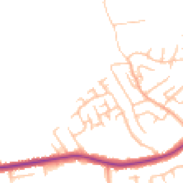
Daytime· 07:00 – 23:00
46.2dB

Night-time· 23:00 – 07:00
38.2dB