437 Ash Bank Road, Werrington, Stoke On Trent, ST9 0DT
About 437 Ash Bank Road
437 Ash Bank Road is a two-bedroom semi-detached house in Werrington, Stoke-On-Trent, Stoke On Trent (ST9 0DT). It has a recorded floor area of 75 m² (around 807 sq ft), construction records dating it to before 1900 and council tax band B. The latest certificate (January 2015) shows an E (score 53), well below the UK norm with real room to improve. The recommended improvements would lift it to B (score 84), a 3-band jump. The latest certificate is from January 2015, so improvements made since then won't be reflected. Other recorded features include attached land beyond the plot. Period features are noted in the property record.
At 75 m² it's 21.9% smaller than the typical home in the postcode (96 m² median across 27 EPCs). It lags the bulk of the postcode on energy efficiency (less efficient than 78% of similar EPCs). Across 2008–2024, sale prices on this property compounded at 4.4% per year. On a £-per-square-foot basis, the last sale (£218/sq ft) was about 40.8% above the typical sold price in the postcode. Sold February 2024 for £176,000. One historical planning record sits against the property in 2018.
What this property has
Inside
- Bedrooms2
- Bathrooms1
- Dining roomYes
Outside
- ParkingOff road
- LandYes
Building
- Period featuresYes
- RefurbishedYes
Everything you need to know about 437 Ash Bank Road
The true value, the hidden risks and the full sale history, in one report.
Pick your report · every report is £14.99
One time fee only - money back guarantee

The data behind every report


Energy performance
Recommended upgrades on file would lift this property by multiple EPC bands.
EPC Expired
This certificate is over 10 years old and is no longer valid.Expired 20 Jan 2025
EPC Rating
Get a survey for this property
Level 3 Building Survey
Because the property was built before 1919, we believe a Level 3 building survey should be considered.
From £820 · Includes VAT
Planning history
1 application on record at 437 Ash Bank Road, Werrington, Stoke On Trent, ST9 0DT
- Oct 2018RenovationFullOutcome in report
Proposed dropped kerb
- Documents
- 7 docs on file
- Reference
- SMD/2018/0454
Unlock 437 Ash Bank Road, Werrington, Stoke On Trent, ST9 0DT's full planning history
You're seeing the shape of it. The report has the substance.
- Every decision — granted, refused or withdrawn (1 on record)
- All 1 application on this property in full, plus 5 notable nearby
- The 7 documents, officer reports & conditions
- What the pattern means for extending or converting here
One time fee only - money back guarantee
Sales history & valuation
437 Ash Bank Road valuation sits well clear of the typical sold price in this postcode.
£183,000
Modelled from EPC, postcode comparables and a sale-price growth of 4.4% per year over 16 years.
£176,000
Growth on file: 4.4% per year over 16 years.
Sales timeline
15 February 2024Most recent
£176,000
+30.4%over 8 years21 December 2015
£135,000
+50.0%over 7 years10 July 2008
£90,000
Median price across the last 5 sales in ST9 0DT: £210,000 (2025–2023).
Nearby sales in ST9 0DT
471 Ash Bank Road, Werrington, Stoke On Trent, ST9 0DT
Sold Feb 2025
£180,000451 Ash Bank Road, Werrington, Stoke On Trent, ST9 0DT
Sold Jul 2024
£215,000Sunnyside Cottage, Ash Bank Road, Werrington, Stoke On Trent, ST9 0DT
Sold Jul 2024
£255,000465 Ash Bank Road, Werrington, Stoke On Trent, ST9 0DT
Sold Feb 2024
£210,000433 Ash Bank Road, Werrington, Stoke On Trent, ST9 0DT
Sold Aug 2023
£157,000
Versus other Ash Bank Road homes
437 Ash Bank Road is notably below the street on years held.
Price per m²
£2,347
Street avg £1,851
Floor Area
75 m²
Street avg 100 m²
Habitable Rooms
4 rooms
Street avg 5 rooms
CO₂ Emissions
5.1 t/year
Street avg 5.2 t/year
Everything you need to know about 437 Ash Bank Road
The true value, the hidden risks and the full sale history, in one report.
Pick your report · every report is £14.99
One time fee only - money back guarantee
The data behind every report
Similar properties nearby
1 Irvine Road, Werrington
ST9 0DR
1 Hewitt Crescent, Werrington
ST9 0LQ
1 Haven Crescent, Werrington
ST9 0EY
1 Blithfield Close, Werrington
ST9 0PJ
1 Highbury Road, Werrington
ST9 0DS
1 Capesthorne Close, Werrington
ST9 0PF
1 Heath Avenue, Werrington
ST9 0HT
1 Hill Village Road, Werrington
ST9 0DP
The neighbourhood at a glance
Daytime road noise here sits well below conversation level — a quiet pocket of the postcode.
Crime
2/mo
Steady year-on-year across the wider district.
Nearest stop
0.3 km
Rownall Road — bus stop.
Closest school
0.8 km
Werrington Primary School. 3 schools nearby.
Go deeper on the local area
A Local Area report breaks down crime, transport links, schools and air quality in depth.
Road noise across the postcode
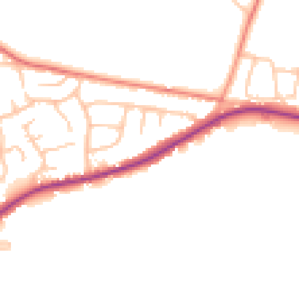
Daytime· 07:00 – 23:00
47.1dB

Night-time· 23:00 – 07:00
39.7dB