Montrose, The Rise, Stafford, ST17 0LH
About Montrose
Montrose is a property in Stafford (ST17 0LH). It has council tax band E.
Held since May 2002 — that's 24 years off the open market, well above the local norm. Across 1998–2002, sale prices on this property compounded at 10.8% per year.
Everything you need to know about Montrose
The true value, the hidden risks and the full sale history, in one report.
Pick your report · every report is £14.99
One time fee only - money back guarantee

The data behind every report


Energy performance
No EPC on record
This property doesn't have an Energy Performance Certificate yet. An EPC is required to sell or let — and unlocks our automated valuation.
Get a survey for this property
Level 2 HomeBuyer Report
We've checked 10 risk factors against the available data for this property and believe a Level 2 HomeBuyer Report could be a suitable option for you.
Planning history
Montrose has no planning applications on record.
But the area is active
1 notable application nearby — larger schemes and conversions that could reshape the street. The report maps them all.
Sales history & valuation
£155,000
Growth on file: 10.8% per year over 4 years.
Sales timeline
30 May 2002Most recent
£155,000
+57.4%over 4 years2 January 1998
£98,500
Median price across the last 5 sales in ST17 0LH: £320,000 (2024–2022).
Everything you need to know about Montrose
The true value, the hidden risks and the full sale history, in one report.
Pick your report · every report is £14.99
One time fee only - money back guarantee
The data behind every report
Similar properties nearby
1 Braunton Avenue
ST17 0EP
1 Balmoral Road
ST17 0AN
1 Appledore Close
ST17 0EW
1 Brocton Crescent, Brocton
ST17 0SY
1 Bluebell Hollow
ST17 0JP
1 Brendon Close
ST17 0BJ
1 Baywood Close
ST17 0BD
1 Abbey Cottages, Main Road, Colwich
ST17 0XD
The neighbourhood at a glance
Daytime road noise here sits well below conversation level — a quiet pocket of the postcode.
Crime
3/mo
Steady year-on-year across the wider district.
Nearest stop
0.1 km
Methodist Church — bus stop.
Closest school
0.2 km
Walton High School. 8 schools nearby.
Go deeper on the local area
A Local Area report breaks down crime, transport links, schools and air quality in depth.
Road noise across the postcode
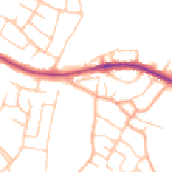
Daytime· 07:00 – 23:00
49.3dB

Night-time· 23:00 – 07:00
39.7dB