14 The Rise, Stafford, ST17 0LH
About 14 The Rise
14 The Rise is a three-bedroom semi-detached house in Stafford (ST17 0LH). It has a recorded floor area of 105 m² (around 1130 sq ft), construction records dating it to 1930-1949 and council tax band D. The latest certificate (July 2023) shows a D (score 63), on the cusp of jumping into the C band. The recommended improvements would lift it to B (score 83), a 2-band jump. Period features are noted in the property record.
Across 1999–2024, sale prices on this property compounded at 5.2% per year. On a £-per-square-foot basis, the last sale (£303/sq ft) was about 34.1% above the typical sold price in the postcode. Last sale on file: £342,500 in November 2024.
What this property has
Inside
- Bedrooms3
- Bathrooms1
- Dining roomYes
- CloakroomYes
Outside
- GarageYes
Building
- Period featuresYes
Everything you need to know about 14 The Rise
The true value, the hidden risks and the full sale history, in one report.
Pick your report · every report is £14.99
One time fee only - money back guarantee

The data behind every report


Energy performance
Recommended upgrades on file would lift this property by multiple EPC bands.
EPC Rating
Get a survey for this property
Level 3 Building Survey
Because the property has solid (non-cavity) walls, we believe a Level 3 building survey should be considered.
From £955 · Includes VAT
Planning history
14 The Rise has no planning applications on record.
But the area is active
1 notable application nearby — larger schemes and conversions that could reshape the street. The report maps them all.
Sales history & valuation
14 The Rise has more than tripled in price since its earliest registered sale in 1999.
£360,000
Modelled from EPC, postcode comparables and a sale-price growth of 5.2% per year over 25 years.
£342,500
Growth on file: 5.2% per year over 25 years.
Sales timeline
21 November 2024Most recent
£342,500
+37.0%over 17 years17 April 2007
£249,950
+13.6%over 1 year16 December 2005
£220,000
+131.0%over 6 years26 August 1999
£95,250
Median price across the last 5 sales in ST17 0LH: £320,000 (2023–2021).
Versus other The Rise homes
On years held, 14 The Rise runs well behind the street norm.
Price per m²
£3,262
Street avg £2,772
Floor Area
105 m²
Street avg 122 m²
Habitable Rooms
6 rooms
Street avg 6 rooms
CO₂ Emissions
4.8 t/year
Street avg 5.1 t/year
Everything you need to know about 14 The Rise
The true value, the hidden risks and the full sale history, in one report.
Pick your report · every report is £14.99
One time fee only - money back guarantee
The data behind every report
Similar properties nearby
The neighbourhood at a glance
Daytime road noise here sits well below conversation level — a quiet pocket of the postcode.
Crime
3/mo
Steady year-on-year across the wider district.
Nearest stop
0.1 km
Methodist Church — bus stop.
Closest school
0.2 km
Walton High School. 8 schools nearby.
Go deeper on the local area
A Local Area report breaks down crime, transport links, schools and air quality in depth.
Road noise across the postcode
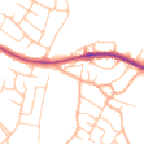
Daytime· 07:00 – 23:00
49.3dB

Night-time· 23:00 – 07:00
39.7dB