1 Beaconside Close, Stafford, ST16 3QS
About 1 Beaconside Close
1 Beaconside Close is a two-bedroom end-of-terrace house in Stafford (ST16 3QS). It has a recorded floor area of 58 m² (around 624 sq ft), construction records dating it to 1983-1990 and council tax band A. The latest certificate (June 2020) shows a D (score 57), a step below the typical UK home. The recommended improvements would lift it to B (score 85), a 2-band jump. Main heating runs on electricity.
It hasn't traded since November 2005, a hold of 21 years that's notably long for the area. Across 2002–2005, sale prices on this property compounded at 14.2% per year. Today's modelled estimate of £149,000 is 49% above the 2005 sale price. On a £-per-square-foot basis, the last sale (£160/sq ft) was about 19.7% above the typical sold price in the postcode.
What this property has
Inside
- Bedrooms2
Everything you need to know about 1 Beaconside Close
The true value, the hidden risks and the full sale history, in one report.
Pick your report · every report is £14.99
One time fee only - money back guarantee

The data behind every report


Energy performance
Recommended upgrades on file would lift this property by multiple EPC bands.
EPC Rating
Get a survey for this property
Level 3 Building Survey
Because the property has no mains gas supply, we believe a Level 3 building survey should be considered.
From £820 · Includes VAT
Planning history
1 Beaconside Close has no planning applications on record.
But the area is active
8 notable applications nearby — larger schemes and conversions that could reshape the street. The report maps them all.
Sales history & valuation
1 Beaconside Close valuation sits well clear of the typical sold price in this postcode.
£149,000
Modelled from EPC, postcode comparables and a sale-price growth of 14.2% per year over 3 years.
£100,000
Growth on file: 14.2% per year over 3 years.
Sales timeline
4 November 2005Most recent
£100,000
+52.7%over 3 years28 August 2002
£65,500
Median price across the last 5 sales in ST16 3QS: £130,000 (2025–2021).
Nearby sales in ST16 3QS
Versus other Beaconside Close homes
CO₂ Emissions for 1 Beaconside Close lags the street by a wide margin.
Price per m²
£1,724
Street avg £1,760
Floor Area
58 m²
Street avg 57 m²
Habitable Rooms
3 rooms
Street avg 3 rooms
CO₂ Emissions
5.3 t/year
Street avg 3.5 t/year
Everything you need to know about 1 Beaconside Close
The true value, the hidden risks and the full sale history, in one report.
Pick your report · every report is £14.99
One time fee only - money back guarantee
The data behind every report
Similar properties nearby
The neighbourhood at a glance
Crime
7/mo
Steady year-on-year across the wider district.
Nearest stop
0.2 km
Tedder Road — bus stop.
Closest school
0.8 km
St John's CofE Primary Academy. 14 schools nearby.
Go deeper on the local area
A Local Area report breaks down crime, transport links, schools and air quality in depth.
Road noise across the postcode
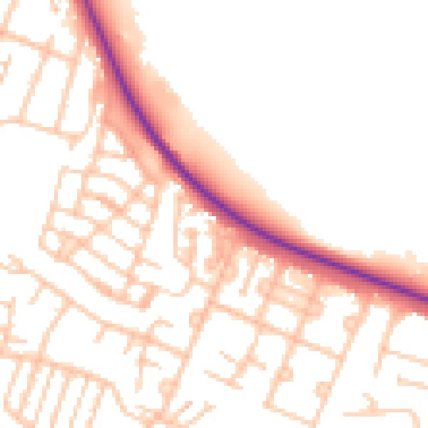
Daytime· 07:00 – 23:00
51.7dB

Night-time· 23:00 – 07:00
42.1dB