32 Longton Road, Barlaston, Stoke On Trent, ST12 9AA
About 32 Longton Road
32 Longton Road is a four-bedroom detached house in Barlaston, Stoke-On-Trent, Stoke On Trent (ST12 9AA). It has a recorded floor area of 150 m² (around 1615 sq ft), construction records dating it to 1900-1929 and council tax band E. The latest certificate (March 2022) shows a D (score 60), on the cusp of jumping into the C band. The recommended improvements would push it to C (score 77). Other recorded features include notable views. Period features are noted in the property record. Records show the property has been extended at some point in its history.
At 150 m² the property is well over the postcode median (102 m² across 20 EPCs), placing it in the larger end of the local stock. Across 2008–2022, sale prices on this property compounded at 6.2% per year. On a £-per-square-foot basis, the last sale (£372/sq ft) was about 148.6% above the typical sold price in the postcode. 3 planning records sit against the property, 0 approved, 0 refused. Most recent transfer: July 2022 at £600,000. That sale was during the post-pandemic price surge, when transactions cleared materially above pre-2020 trend.
What this property has
Inside
- Bedrooms4
- Bathrooms2
- Dining roomYes
- Utility roomYes
- CloakroomYes
- EnsuiteYes
Outside
- Notable viewsYes
Building
- Period featuresYes
- Previously extendedYes
Everything you need to know about 32 Longton Road
The true value, the hidden risks and the full sale history, in one report.
Pick your report · from £14.99
One time fee only - money back guarantee

The data behind every report







Energy performance
32 Longton Road's carbon output runs well above what efficient homes in the postcode produce.
EPC Rating
Certificate validity
Valid until 2 March 2032

Get a survey for this property
Level 3 Building Survey
Because the property was built before 1919 and has been extended more than once, we believe a Level 3 building survey should be considered.
From £1,155 · Includes VAT
Planning history
3 applications on record at 32 Longton Road, Barlaston, Stoke On Trent, ST12 9AA
- Jul 2008ExtensionFullOutcome in report
Proposed new pitched roof to replace existing flat roof to rear elevation, and internal alterations. New brickwork infill to exiting rear extension.
- Documents
- 9 docs on file
- Reference
- 08/10283/FUL
- More recent applications — locked
- ExtensionAug 2014Decision
- OutbuildingMay 2014Decision
Unlock 32 Longton Road, Barlaston, Stoke On Trent, ST12 9AA's full planning history
You're seeing the shape of it. The report has the substance.
- Every decision — granted, refused or withdrawn (3 on record)
- All 3 applications on this property in full, plus 1 notable nearby
- The 31 documents, officer reports & conditions
- What the pattern means for extending or converting here
One time fee only - money back guarantee
Sales history & valuation
Sale price has at least doubled since 2008.
£612,000
Modelled from EPC, postcode comparables and a sale-price growth of 6.2% per year over 14 years.
£600,000
Growth on file: 6.2% per year over 14 years.
Sales timeline
14 July 2022Most recent
£600,000
+140.0%over 14 years22 January 2008
£250,000
Median price across the last 5 sales in ST12 9AA: £580,000 (2024–2018).
Nearby sales in ST12 9AA
4 Longton Road, Barlaston, Stoke On Trent, ST12 9AA
Sold Oct 2024
£991,2003 Longton Road, Barlaston, Stoke On Trent, ST12 9AA
Sold Jul 2023
£225,00029 Longton Road, Barlaston, Stoke On Trent, ST12 9AA
Sold Nov 2018
£645,00019 Longton Road, Barlaston, Stoke On Trent, ST12 9AA
Sold Jan 2018
£187,500The Lane, Woodview, Longton Road, Barlaston, Stoke On Trent, ST12 9AA
Sold Jun 2017
£175,000
Versus other Longton Road homes
On price per m², 32 Longton Road stands well clear of the street.
Price per m²
£4,000
Street avg £2,143
Floor Area
150 m²
Street avg 127 m²
Habitable Rooms
6 rooms
Street avg 5 rooms
CO₂ Emissions
7.0 t/year
Street avg 7.0 t/year
Everything you need to know about 32 Longton Road
The true value, the hidden risks and the full sale history, in one report.
Pick your report · from £14.99
One time fee only - money back guarantee
The data behind every report
Similar properties nearby
1 Aurora Gardens, Barlaston
ST12 9FR
1 Bluebell Close, Tittensor
ST12 9JP
1 Edme Grove, Barlaston
ST12 9FH
1 Grayswood Croft, Stone Road, Tittensor
ST12 9HA
1 Amherst Place, Barlaston
ST12 9FB
1 Field Rise Road, Tittensor
ST12 9JY
1 Diamond Close, Barlaston
ST12 9DU
1 Canal Side, Barlaston
ST12 9DZ
The neighbourhood at a glance
Rail-style transport is unusually close for this postcode.
Crime
17/mo
Steady year-on-year across the wider district.
Nearest stop
0.7 km
Barlaston Rail Station — railway station.
Closest school
0.2 km
Barlaston CofE (VC) First School. 3 schools nearby.
Go deeper on the local area
A Local Area report breaks down crime, transport links, schools and air quality in depth.
Road noise across the postcode
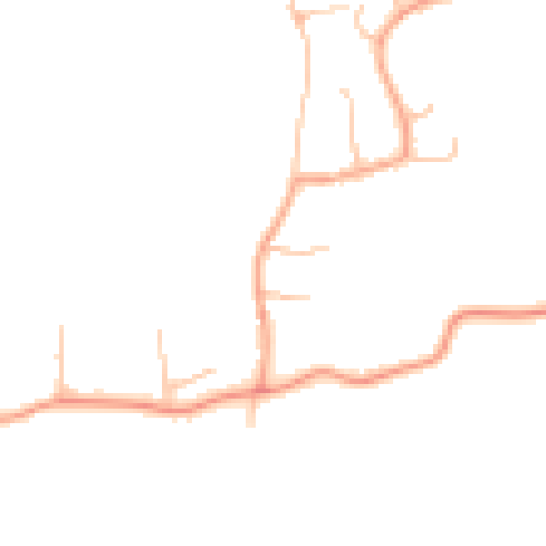
Daytime· 07:00 – 23:00
43.6dB

Night-time· 23:00 – 07:00
36.0dB