29 St John Street, Stoke On Trent, ST1 2HT
About 29 St John Street
29 St John Street is a three-bedroom mid-terrace house in Stoke On Trent (ST1 2HT). It has a recorded floor area of 69 m² (around 743 sq ft), construction records dating it to before 1900 and council tax band A. The latest certificate (June 2018) shows a D (score 63), on the cusp of jumping into the C band. The recommended improvements would lift it to B (score 82), a 2-band jump. Other recorded features include outbuildings. The home occupies a corner plot and a cul-de-sac position.
Across 2002–2018, sale prices on this property compounded at 10.1% per year. Today's modelled estimate of £113,000 sits 100% above the 2018 sale of £56,500. On a £-per-square-foot basis, the last sale (£76/sq ft) was about 59.3% above the typical sold price in the postcode. Most recent transfer: July 2018 at £56,500.
What this property has
Inside
- Bedrooms3
- Bathrooms1
Outside
- Private gardenYes
- OutbuildingsYes
- Corner plotYes
- Cul-de-sacYes
Everything you need to know about 29 St John Street
The true value, the hidden risks and the full sale history, in one report.
Pick your report · every report is £14.99
One time fee only - money back guarantee

The data behind every report


Energy performance
Recommended upgrades on file would lift this property by multiple EPC bands.
EPC Rating
Get a survey for this property
Level 3 Building Survey
Because the property was built before 1919, has solid (non-cavity) walls, and has permanent outbuildings, we believe a Level 3 building survey should be considered.
From £820 · Includes VAT
Planning history
29 St John Street has no planning applications on record.
But the area is active
4 notable applications nearby — larger schemes and conversions that could reshape the street. The report maps them all.
Sales history & valuation
29 St John Street has more than quadrupled in price since its earliest registered sale in 2002.
£113,000
Modelled from EPC, postcode comparables and a sale-price growth of 10.1% per year over 16 years.
£56,500
Growth on file: 10.1% per year over 16 years.
Sales timeline
24 July 2018Most recent
£56,500
+370.8%over 16 years17 June 2002
£12,000
Median price across the last 5 sales in ST1 2HT: £80,000 (2025–2006).
Nearby sales in ST1 2HT
27 St John Street, Stoke On Trent, ST1 2HT
Sold Apr 2025
£86,00037 St John Street, Stoke On Trent, ST1 2HT
Sold Mar 2021
£83,00025 St John Street, Stoke On Trent, ST1 2HT
Sold Jan 2015
£80,00031 St John Street, Stoke On Trent, ST1 2HT
Sold Nov 2006
£75,00033 St John Street, Stoke On Trent, ST1 2HT
Sold Jun 2006
£69,950
Versus other St John Street homes
29 St John Street is notably below the street on habitable rooms.
Price per m²
£819
Street avg £774
Floor Area
69 m²
Street avg 92 m²
Habitable Rooms
4 rooms
Street avg 5 rooms
CO₂ Emissions
3.6 t/year
Street avg 4.4 t/year
Everything you need to know about 29 St John Street
The true value, the hidden risks and the full sale history, in one report.
Pick your report · every report is £14.99
One time fee only - money back guarantee
The data behind every report
Similar properties nearby
The neighbourhood at a glance
Crime
27/mo
Falling year-on-year across the wider district.
Nearest stop
0.2 km
Upper Huntbach Street — bus stop.
Closest school
0.3 km
Co-op Academy Grove. 30 schools nearby.
Go deeper on the local area
A Local Area report breaks down crime, transport links, schools and air quality in depth.
Road noise across the postcode
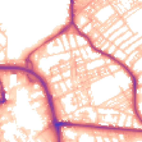
Daytime· 07:00 – 23:00
55.5dB

Night-time· 23:00 – 07:00
45.2dB