26 Eaton Street, Stoke On Trent, ST1 2DG
About 26 Eaton Street
26 Eaton Street is a two-bedroom mid-terrace house in Stoke On Trent (ST1 2DG). It has a recorded floor area of 84 m² (around 908 sq ft), construction records dating it to before 1900 and council tax band A. The latest certificate (October 2009) shows a D (score 62), on the cusp of jumping into the C band. The latest certificate is from October 2009, so improvements made since then won't be reflected. Other recorded features include a balcony.
Across 2003–2018, sale prices on this property compounded at 2.7% per year. Today's modelled estimate of £114,000 sits 67.6% above the 2018 sale of £68,000. At 84 m² it's 15.6% larger than the typical home in the postcode (73 m² median across 19 EPCs). Last sold in May 2018, so it's been off the market for around 8 years.
What this property has
Inside
- Bedrooms2
- Bathrooms1
- Dining roomYes
Outside
- Private gardenYes
- BalconyYes
Building
- RefurbishedYes
Everything you need to know about 26 Eaton Street
The true value, the hidden risks and the full sale history, in one report.
Pick your report · every report is £14.99
One time fee only - money back guarantee

The data behind every report


Energy performance
26 Eaton Street's EPC is over a decade old — improvements since won't be reflected.
EPC Expired
This certificate is over 10 years old and is no longer valid.Expired 12 Oct 2019
EPC Rating
Get a survey for this property
Level 3 Building Survey
Because the property was built before 1919, we believe a Level 3 building survey should be considered.
From £820 · Includes VAT
Planning history
26 Eaton Street has no planning applications on record.
But the area is active
4 notable applications nearby — larger schemes and conversions that could reshape the street. The report maps them all.
Sales history & valuation
26 Eaton Street valuation sits well clear of the typical sold price in this postcode.
£114,000
Modelled from EPC, postcode comparables and a sale-price growth of 2.7% per year over 14 years.
£68,000
Growth on file: 2.7% per year over 14 years.
Sales timeline
13 May 2018Most recent
£68,000
+17.2%over 12 years27 September 2005
£58,000
+26.1%over 1 year12 November 2003
£46,000
Median price across the last 5 sales in ST1 2DG: £88,000 (2025–2021).
Nearby sales in ST1 2DG
36 Eaton Street, Stoke On Trent, ST1 2DG
Sold Jul 2025
£100,00020 Eaton Street, Stoke On Trent, ST1 2DG
Sold Jun 2025
£62,50042 Eaton Street, Stoke On Trent, ST1 2DG
Sold Mar 2022
£85,00044 Eaton Street, Stoke On Trent, ST1 2DG
Sold Jan 2022
£88,00010 Eaton Street, Stoke On Trent, ST1 2DG
Sold Oct 2021
£122,500
Versus other Eaton Street homes
Price per m²
£806
Street avg £753
Floor Area
84 m²
Street avg 83 m²
Habitable Rooms
4 rooms
Street avg 4 rooms
CO₂ Emissions
4.2 t/year
Street avg 5.0 t/year
Everything you need to know about 26 Eaton Street
The true value, the hidden risks and the full sale history, in one report.
Pick your report · every report is £14.99
One time fee only - money back guarantee
The data behind every report
Similar properties nearby
The neighbourhood at a glance
Crime
27/mo
Falling year-on-year across the wider district.
Nearest stop
0.1 km
Upper Huntbach Street — bus stop.
Closest school
0.4 km
Co-op Academy Northwood. 30 schools nearby.
Go deeper on the local area
A Local Area report breaks down crime, transport links, schools and air quality in depth.
Road noise across the postcode
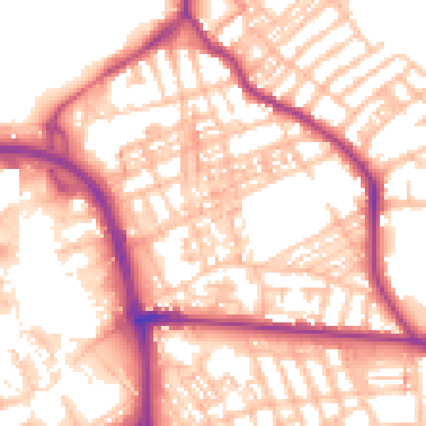
Daytime· 07:00 – 23:00
55.8dB

Night-time· 23:00 – 07:00
45.5dB