12 Barnes View, Sunderland, SR4 7PZ
About 12 Barnes View
12 Barnes View is a semi-detached house in Sunderland (SR4 7PZ). It has a recorded floor area of 158 m² (around 1701 sq ft), construction records dating it to 1950-1966 and council tax band D. The latest certificate (February 2017) shows a D (score 67), on the cusp of jumping into the C band. The recommended improvements would push it to C (score 78).
On the market in May 2018 and unlisted since — roughly 8 years.
Everything you need to know about 12 Barnes View
The true value, the hidden risks and the full sale history, in one report.
Pick your report · every report is £14.99
One time fee only - money back guarantee

The data behind every report


Energy performance
EPC Rating
Get a survey for this property
Level 2 HomeBuyer Report
We've checked 10 risk factors against the available data for this property and believe a Level 2 HomeBuyer Report could be a suitable option for you.
From £545 · Includes VAT
Planning history
12 Barnes View has no planning applications on record.
But the area is active
10 notable applications nearby — larger schemes and conversions that could reshape the street. The report maps them all.
Sales history & valuation
£287,000
Modelled from EPC, postcode comparables.
£285,000
Recorded with HM Land Registry.
Sales timeline
2 May 2018Most recent
£285,000
Median price across the last 5 sales in SR4 7PZ: £315,000 (2024–2019).
Nearby sales in SR4 7PZ
Versus other Barnes View homes
12 Barnes View outperforms the street on floor area by a wide margin.
Price per m²
£1,804
Street avg £2,015
Floor Area
158 m²
Street avg 139 m²
Habitable Rooms
6 rooms
Street avg 5 rooms
CO₂ Emissions
5.5 t/year
Street avg 7.0 t/year
Everything you need to know about 12 Barnes View
The true value, the hidden risks and the full sale history, in one report.
Pick your report · every report is £14.99
One time fee only - money back guarantee
The data behind every report
Similar properties nearby
The neighbourhood at a glance
Reported crime in the wider district is trending notably upward year-on-year.
Crime
3/mo
Rising year-on-year across the wider district.
Nearest stop
0.1 km
Mount Road — bus stop.
Closest school
0.1 km
Barnes Infant Academy. 39 schools nearby.
Go deeper on the local area
A Local Area report breaks down crime, transport links, schools and air quality in depth.
Road noise across the postcode
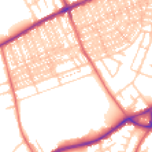
Daytime· 07:00 – 23:00
54.2dB

Night-time· 23:00 – 07:00
42.6dB