2 Crossways, Ladybrook Road, Bramhall, Stockport, SK7 3NZ
About 2 Crossways
2 Crossways is a detached house in Bramhall, Stockport, Stockport (SK7 3NZ). It has a recorded floor area of 108 m² (around 1163 sq ft), construction records dating it to 1950-1966 and council tax band E. The latest certificate (April 2019) shows a D (score 66), on the cusp of jumping into the C band. The recommended improvements would push it to C (score 75).
It lags the bulk of the postcode on energy efficiency (less efficient than 70% of similar EPCs). Today's modelled estimate of £432,000 is 32.9% above the 2019 sale price. On a £-per-square-foot basis, the last sale (£280/sq ft) was about 28.7% above the typical sold price in the postcode. Sold July 2019 for £325,000.
Everything you need to know about 2 Crossways
The true value, the hidden risks and the full sale history, in one report.
Pick your report · every report is £14.99
One time fee only - money back guarantee

The data behind every report


Energy performance
EPC Rating
Get a survey for this property
Level 2 HomeBuyer Report
We've checked 10 risk factors against the available data for this property and believe a Level 2 HomeBuyer Report could be a suitable option for you.
From £695 · Includes VAT
Planning history
2 Crossways has no planning applications on record.
But the area is active
1 notable application nearby — larger schemes and conversions that could reshape the street. The report maps them all.
Sales history & valuation
2 Crossways valuation sits well clear of the typical sold price in this postcode.
£432,000
Modelled from EPC, postcode comparables.
£325,000
Recorded with HM Land Registry.
Sales timeline
7 July 2019Most recent
£325,000
Median price across the last 5 sales in SK7 3NZ: £375,000 (2023–2020).
Nearby sales in SK7 3NZ
5 Crossways, Ladybrook Road, Bramhall, Stockport, SK7 3NZ
Sold Nov 2023
£460,00010 Crossways, Ladybrook Road, Bramhall, Stockport, SK7 3NZ
Sold Jun 2022
£350,0001 Crossways, Ladybrook Road, Bramhall, Stockport, SK7 3NZ
Sold Mar 2022
£400,00011 Crossways, Ladybrook Road, Bramhall, Stockport, SK7 3NZ
Sold Aug 2021
£375,0007 Crossways, Ladybrook Road, Bramhall, Stockport, SK7 3NZ
Sold Dec 2020
£300,000
Versus other Ladybrook Road homes
CO₂ Emissions for 2 Crossways lags the street by a wide margin.
Price per m²
£3,009
Street avg £2,766
Floor Area
108 m²
Street avg 111 m²
Habitable Rooms
4 rooms
Street avg 4 rooms
CO₂ Emissions
4.3 t/year
Street avg 3.5 t/year
Everything you need to know about 2 Crossways
The true value, the hidden risks and the full sale history, in one report.
Pick your report · every report is £14.99
One time fee only - money back guarantee
The data behind every report
Similar properties nearby
1 Crossways, Ladybrook Road, Bramhall
SK7 3NZ
1 Central Drive, Bramhall
SK7 3JU
1 Abingdon Road, Bramhall
SK7 3EU
1 Chatsworth Mews, Bramhall
SK7 3JP
1 Capton Close, Bramhall
SK7 3DE
1 Chudleigh Close, Bramhall
SK7 3PN
1 Bradda Mount, Bramhall
SK7 3BX
1 Beathwaite Drive, Bramhall
SK7 3NY
The neighbourhood at a glance
Rail-style transport is unusually close for this postcode.
Crime
1/mo
Steady year-on-year across the wider district.
Nearest stop
0.4 km
Manor Road — bus stop.
Closest school
0.4 km
Lane End Primary School. 31 schools nearby.
Go deeper on the local area
A Local Area report breaks down crime, transport links, schools and air quality in depth.
Road noise across the postcode
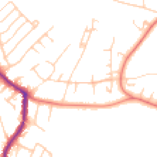
Daytime· 07:00 – 23:00
48.1dB

Night-time· 23:00 – 07:00
38.3dB