1 Compstall Road, Romiley, Stockport, SK6 4BT
About 1 Compstall Road
1 Compstall Road is a property in Romiley, Stockport, Stockport (SK6 4BT).
4 planning records sit against the property, 4 approved, 0 refused. Past consents include an extension, subdivision and a loft conversion, meaningful when judging how the property has evolved.
Energy performance
No EPC on record
This property doesn't have an Energy Performance Certificate yet. An EPC is required to sell or let — and unlocks our automated valuation.
Get a survey for this property
Level 2 HomeBuyer Report
We've checked 10 risk factors against the available data for this property and believe a Level 2 HomeBuyer Report could be a suitable option for you.
Planning history
Council records show a subdivision application — the property's legal arrangement has been altered.
- Jul 2013ConditionsOutcome in report
Discharge of condition 3 (roller shutter) of planning permission DC047772.
- Documents
- 2 docs on file
- Reference
- DC/052783
- Nov 2011ExtensionFullOutcome in report
Extension: Single storey · Rear of property
Single storey extension, first floor extension and dormer roof extension to rear and roof lights to front. Formation of two flats at first floor and second floor level. Installation of ground floor external roller shutter to side elevation
- Documents
- 9 docs on file
- Reference
- DC/047772
Sales history & valuation
No sales recorded with HM Land Registry
That can mean the property has never traded since the registry began publishing in 1995, was a new build that hasn't been registered yet, or is held in the same hands long-term.
Median price across the last 5 sales in SK6 4BT: £140,000 (2022–2012).
Nearby sales in SK6 4BT
19a, Compstall Road, Romiley, Stockport, SK6 4BT
Sold May 2022
£90,00021a, Compstall Road, Romiley, Stockport, SK6 4BT
Sold Aug 2019
£185,000Flat, 11 Compstall Road, Romiley, Stockport, SK6 4BT
Sold Apr 2014
£145,000Flat 2, 29 Compstall Road, Romiley, Stockport, SK6 4BT
Sold Nov 2012
£140,0007a, Compstall Road, Romiley, Stockport, SK6 4BT
Sold Jul 2012
£100,000
Similar properties nearby
1 3, Hill End, Werneth Low Road, Romiley
SK6 4PY
1 Aysgarth Avenue, Romiley
SK6 4PX
1 Barlow Fold Road, Romiley
SK6 4LH
1 Barlow Fold, Romiley
SK6 4LQ
1 Barnfield Avenue, Romiley
SK6 4LF
1 Beechwood Avenue, Romiley
SK6 4DL
1 Birchvale Drive, Romiley
SK6 4LD
1 Brabyns Avenue, Romiley
SK6 4NG
The neighbourhood at a glance
Rail-style transport is unusually close for this postcode.
Crime
1/mo
Steady year-on-year across the wider district.
Nearest stop
0.0 km
Romiley Station — bus stop.
Closest school
0.2 km
Romiley Primary School. 18 schools nearby.
Road noise across the postcode
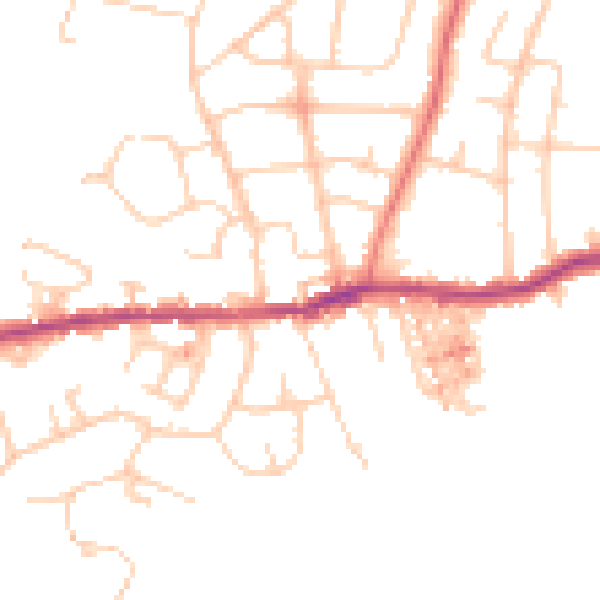
Daytime· 07:00 – 23:00
48.1dB

Night-time· 23:00 – 07:00
38.5dB