10 Chadkirk Road, Romiley, Stockport, SK6 3JY
About 10 Chadkirk Road
10 Chadkirk Road is a detached house in Romiley, Stockport, Stockport (SK6 3JY). It has a recorded floor area of 155 m² (around 1668 sq ft), construction records dating it to 1950-1966 and council tax band G. The latest certificate (August 2022) shows a D (score 62), on the cusp of jumping into the C band. The recommended improvements would push it to C (score 78).
6 planning records sit against the property, 5 approved, 1 refused. Past consents include an extension, a garage conversion and tree works, meaningful when judging how the property has evolved.
Everything you need to know about 10 Chadkirk Road
The true value, the hidden risks and the full sale history, in one report.
Pick your report · every report is £14.99
One time fee only - money back guarantee

The data behind every report


Energy performance
10 Chadkirk Road's carbon output runs well above what efficient homes in the postcode produce.
EPC Rating
Get a survey for this property
Level 3 Building Survey
Because the property has been extended more than once, we believe a Level 3 building survey should be considered.
From £1,220 · Includes VAT
Planning history
A tree works application was refused at 10 Chadkirk Road in 2025.
6 applications on record at 10 Chadkirk Road, Romiley, Stockport, SK6 3JY
- Aug 2003Tree WorksTreesOutcome in report
to crown raise one yew tree to a height of three meters. To fell one sycamore tree close to the left hand corner of the property and to crown thin another sycamore situated at the entrance to the drive. And to fell one oak tree and one holly tree, replant required on a one for one basis of oak and holly to be planted along the front boundary 2m away from wall (DS/19/16E)
- Reference
- DC/011949
- More recent applications — locked
- Tree WorksJun 2025Decision
- Garage ConversionSept 2016Decision
+ 3 more applications in the report
Unlock 10 Chadkirk Road, Romiley, Stockport, SK6 3JY's full planning history
You're seeing the shape of it. The report has the substance.
- Every decision — granted, refused or withdrawn (6 on record)
- All 6 applications on this property in full, plus 1 notable nearby
- The 8 documents, officer reports & conditions
- What the pattern means for extending or converting here
One time fee only - money back guarantee
Sales history & valuation
10 Chadkirk Road has no Land Registry sales on file, suggesting it has stayed in the same hands since registration began.
£758,000
Modelled from EPC, postcode comparables.
No sales recorded with HM Land Registry
That can mean the property has never traded since the registry began publishing in 1995, was a new build that hasn't been registered yet, or is held in the same hands long-term.
Median price across the last 5 sales in SK6 3JY: £570,000 (2024–2017).
Nearby sales in SK6 3JY
14 Chadkirk Road, Romiley, Stockport, SK6 3JY
Sold Nov 2024
£766,3041a, Chadkirk Road, Romiley, Stockport, SK6 3JY
Sold Jun 2021
£826,10012 Chadkirk Road, Romiley, Stockport, SK6 3JY
Sold May 2020
£435,0001 Chadkirk Road, Romiley, Stockport, SK6 3JY
Sold Jun 2018
£470,0007 Chadkirk Road, Romiley, Stockport, SK6 3JY
Sold Sept 2017
£570,000
Versus other Chadkirk Road homes
EPC Rating
62 (D)
Street avg 60 (D)
Floor Area
155 m²
Street avg 168 m²
CO₂ Emissions
6.7 t/year
Street avg 7.7 t/year
Habitable Rooms
7 rooms
Street avg 7 rooms
Everything you need to know about 10 Chadkirk Road
The true value, the hidden risks and the full sale history, in one report.
Pick your report · every report is £14.99
One time fee only - money back guarantee
The data behind every report
Similar properties nearby
1 Chadkirk Road, Romiley
SK6 3JY
1 Gregory Avenue, Romiley
SK6 3JZ
1 Greenhead Fold, Romiley
SK6 3DW
1 Bunkers Hill, Romiley
SK6 3DS
1 Gorsey Brow, Romiley
SK6 3BQ
1 Bredbury Green, Romiley
SK6 3DN
1 Hill Rise, Romiley
SK6 3AP
1 Green Tree Gardens, Romiley
SK6 3JL
The neighbourhood at a glance
Rail-style transport is unusually close for this postcode.
Crime
1/mo
Steady year-on-year across the wider district.
Nearest stop
0.3 km
Duke of York — bus stop.
Closest school
0.7 km
Romiley Primary School. 18 schools nearby.
Go deeper on the local area
A Local Area report breaks down crime, transport links, schools and air quality in depth.
Road noise across the postcode
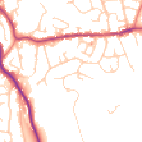
Daytime· 07:00 – 23:00
50.0dB
Night-time· 23:00 – 07:00
40.8dB