2 Hatherlow, Romiley, Stockport, SK6 3DP
About 2 Hatherlow
2 Hatherlow is a property in Romiley, Stockport, Stockport (SK6 3DP). It has council tax band F.
Energy performance
No EPC on record
This property doesn't have an Energy Performance Certificate yet. An EPC is required to sell or let — and unlocks our automated valuation.
Get a survey for this property
Level 2 HomeBuyer Report
We've checked 10 risk factors against the available data for this property and believe a Level 2 HomeBuyer Report could be a suitable option for you.
Planning history
No planning applications are recorded against 2 Hatherlow, Romiley, Stockport, SK6 3DP. The full report also covers planning activity across the surrounding area.
Sales history & valuation
No sales recorded with HM Land Registry
That can mean the property has never traded since the registry began publishing in 1995, was a new build that hasn't been registered yet, or is held in the same hands long-term.
Median price across the last 5 sales in SK6 3DP: £190,000 (2023–2015).
Nearby sales in SK6 3DP
13 Hatherlow, Romiley, Stockport, SK6 3DP
Sold Sept 2023
£262,5001 Hatherlow, Romiley, Stockport, SK6 3DP
Sold May 2018
£190,0004 Hatherlow, Romiley, Stockport, SK6 3DP
Sold May 2015
£325,0006 Hatherlow, Romiley, Stockport, SK6 3DP
Sold Oct 2013
£280,0003 Hatherlow, Romiley, Stockport, SK6 3DP
Sold May 2013
£119,000
Similar properties nearby
1 Agecroft Road, Romiley
SK6 3HT
1 Barrack Hill, Romiley
SK6 3AZ
1 Beacon Road, Romiley
SK6 3HZ
1 Begley Close, Romiley
SK6 3EX
1 Beverley Walk, Romiley
SK6 3HG
1 Bredbury Green, Romiley
SK6 3DN
1 Buckley Drive, Romiley
SK6 3EW
1 Bunkers Hill, Romiley
SK6 3DS
The neighbourhood at a glance
Rail-style transport is unusually close for this postcode.
Crime
1/mo
Steady year-on-year across the wider district.
Nearest stop
0.1 km
Hatherlow — bus stop.
Closest school
0.3 km
Harrytown Catholic High School. 20 schools nearby.
Road noise across the postcode
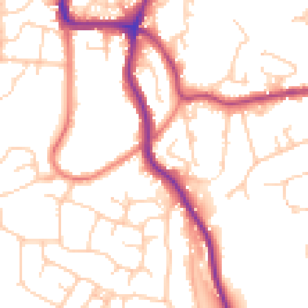
Daytime· 07:00 – 23:00
51.8dB

Night-time· 23:00 – 07:00
41.7dB