3 Hatherlow, Romiley, Stockport, SK6 3DP
About 3 Hatherlow
3 Hatherlow is a two-bedroom mid-terrace house in Romiley, Stockport, Stockport (SK6 3DP). It has a recorded floor area of 80 m² (around 859 sq ft), construction records dating it to before 1900 and council tax band C. The latest certificate (February 2010) shows a D (score 63), on the cusp of jumping into the C band. The recommended improvements would push it to C (score 74). The latest certificate is from February 2010, so improvements made since then won't be reflected.
Across 1995–2013, sale prices on this property compounded at 4.1% per year. Today's modelled estimate of £238,000 sits 100% above the 2013 sale of £119,000. On a £-per-square-foot basis, the last sale (£138/sq ft) was about 32.7% below the postcode norm. Last changed hands 13 years ago, in May 2013.
What this property has
Inside
- Bedrooms2
Everything you need to know about 3 Hatherlow
The true value, the hidden risks and the full sale history, in one report.
Pick your report · every report is £14.99
One time fee only - money back guarantee

The data behind every report


Energy performance
3 Hatherlow's EPC is over a decade old — improvements since won't be reflected.
EPC Expired
This certificate is over 10 years old and is no longer valid.Expired 09 Feb 2020
EPC Rating
Get a survey for this property
Level 3 Building Survey
Because the property was built before 1919 and has solid (non-cavity) walls, we believe a Level 3 building survey should be considered.
From £885 · Includes VAT
Planning history
3 Hatherlow has no planning applications on record.
But the area is active
1 notable application nearby — larger schemes and conversions that could reshape the street. The report maps them all.
Sales history & valuation
Sale price has at least doubled since 1995.
£238,000
Modelled from EPC, postcode comparables and a sale-price growth of 4.1% per year over 18 years.
£119,000
Growth on file: 4.1% per year over 18 years.
Sales timeline
22 May 2013Most recent
£119,000
+120.4%over 16 years28 October 1996
£54,000
-7.7%over 1 year17 October 1995
£58,500
Median price across the last 5 sales in SK6 3DP: £190,000 (2023–2015).
Nearby sales in SK6 3DP
13 Hatherlow, Romiley, Stockport, SK6 3DP
Sold Sept 2023
£262,5001 Hatherlow, Romiley, Stockport, SK6 3DP
Sold May 2018
£190,0004 Hatherlow, Romiley, Stockport, SK6 3DP
Sold May 2015
£325,0006 Hatherlow, Romiley, Stockport, SK6 3DP
Sold Oct 2013
£280,00015a, Hatherlow, Romiley, Stockport, SK6 3DP
Sold Feb 2006
£182,500
Versus other Hatherlow homes
3 Hatherlow is notably below the street on price per m².
Price per m²
£1,491
Street avg £2,832
Floor Area
80 m²
Street avg 94 m²
Habitable Rooms
5 rooms
Street avg 4 rooms
CO₂ Emissions
3.9 t/year
Street avg 4.2 t/year
Everything you need to know about 3 Hatherlow
The true value, the hidden risks and the full sale history, in one report.
Pick your report · every report is £14.99
One time fee only - money back guarantee
The data behind every report
Similar properties nearby
1 Georgian Court, Romiley
SK6 3BP
1 Harrytown, Romiley
SK6 3BS
1 Hatherlow, Romiley
SK6 3DP
1 Agecroft Road, Romiley
SK6 3HT
1 Carlisle Close, Romiley
SK6 3HS
1 Chadkirk Cottages, Vale Road, Romiley
SK6 3LE
1 Beverley Walk, Romiley
SK6 3HG
1 Highfield Avenue, Romiley
SK6 3DA
The neighbourhood at a glance
Rail-style transport is unusually close for this postcode.
Crime
1/mo
Steady year-on-year across the wider district.
Nearest stop
0.1 km
Hatherlow — bus stop.
Closest school
0.3 km
Harrytown Catholic High School. 20 schools nearby.
Go deeper on the local area
A Local Area report breaks down crime, transport links, schools and air quality in depth.
Road noise across the postcode
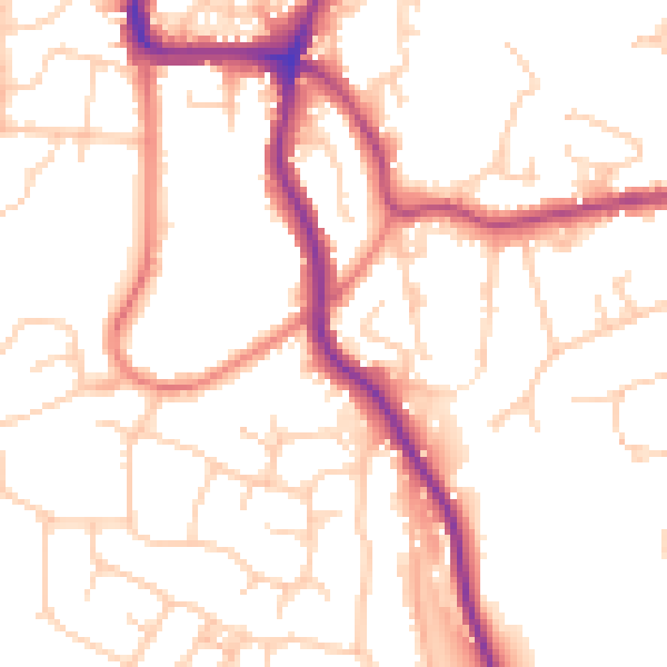
Daytime· 07:00 – 23:00
51.8dB

Night-time· 23:00 – 07:00
41.7dB