4 Bury Plantation, Royston, SG8 9TE
About 4 Bury Plantation
A plain-English summary derived from public records, EPC certificates, sold prices and local data.
4 Bury Plantation is a three-bedroom semi-detached house in Royston (SG8 9TE). It has a recorded floor area of 78 m² (around 840 sq ft), construction records dating it to 1976-1982 and council tax band D. The latest certificate (November 2022) shows a D (score 64), on the cusp of jumping into the C band. The rating has held steady at D across 2 certificates since November 2012. Between certificates, lighting went from Good to Very Good. The recommended improvements would lift it to B (score 85), a 2-band jump. Other recorded features include a conservatory.
Today's modelled estimate of £420,000 sits 82.6% above the 2013 sale of £230,000. Last changed hands 13 years ago, in January 2013. At 78 m² it's 25.2% smaller than the typical home in the postcode (104 m² median across 5 EPCs).
Before you offer
Know exactly what you're buying at 4 Bury Plantation
Before you offer, see what the listing won't tell you, the true value, the red flags and the full history.
£9.99£14.99
Launch offer · save £5
What this property has
Pulled from EPC certificates, claim submissions and our property model. Empty categories are hidden — we only show what's known.
Inside
- Bedrooms3
- Bathrooms1
- ConservatoryYes
Outside
- Private garden
Energy performance
Every EPC certificate filed against this property — current rating, recorded improvements, and where there's headroom to reach a higher band.
Recommended upgrades on file would lift this property by multiple EPC bands.
Current Certificate(1 of 2)
Nov 2022
EPC Rating
A
B
C
D
D64
E
F
G
Main Heating
Gas
Main Fuel
Gas
Hot Water
Average
Windows
Average
CO2 Emissions
3.6 t/year
Occupancy
Owner Occupied
Planning history
Applications and permits filed against 4 Bury Plantation, Royston, SG8 9TE, sourced from the PlanIt planning register.
4 Bury Plantation has no planning applications on record.
Notable planning nearby
2applications of note in the surrounding area
Sales history & valuation
Recorded transactions, our model's current estimate, and a quick read on what neighbouring properties have sold for.
4 Bury Plantation valuation sits well clear of the typical sold price in this postcode.
Current estimate
See how we calculated this£420,000
Modelled from EPC, postcode comparables.
Last sold (2013)
£230,000
Recorded with HM Land Registry.
Sales timeline
Before you offerLaunch offer · save £5
Everything we know about 4 Bury Plantation, in one report
What it's really worth, what could be wrong, and the planning, sales and area data in full.
- Am I paying too much?
- Is something wrong with it?
Versus other Bury Plantation homes
Four headline reads against 5 similar houses on this street, drawn from the latest EPC and Land Registry data.
On price per m², 4 Bury Plantation runs well behind the street norm.
Price per m²
£2,949
Street avg £3,528
Floor Area
78 m²
Street avg 113 m²
Habitable Rooms
4 rooms
Similar properties nearby
A handful of close matches in the same postcode area, ranked by likeness on bedrooms, type and floor area.
The neighbourhood at a glance
A condensed read of the local area. Each tile links through to the full breakdown on the Royston district page.
Daytime road noise here sits well below conversation level — a quiet pocket of the postcode.
Crime
3/mo
Steady year-on-year across the wider district.
Nearest stop
0.2 km
Road noise across the postcode
Modelled day and night-time noise levels around SG8 9TE from Defra's strategic mapping. The pin marks this postcode's centroid.
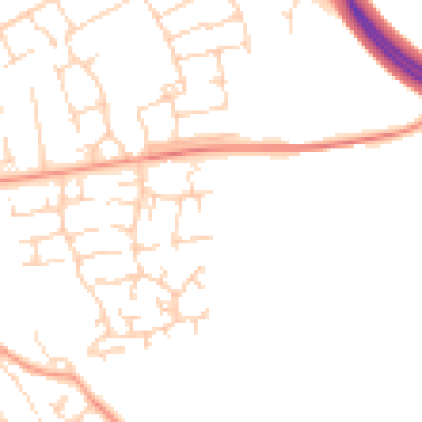
Daytime· 07:00 – 23:00
47.4dB

Everything within walking distance
Schools, transport stops and scenic spots near this property — 37 points of interest in total.
Common questions
The questions buyers, sellers and homeowners most often ask about 4 Bury Plantation, Royston, SG8 9TE. Each answer is also embedded as structured data for search engines.
