1 Barkway Road, Royston, SG8 9EA
2 planning records
About 1 Barkway Road
A plain-English summary derived from public records, EPC certificates, sold prices and local data.
1 Barkway Road is a four-bedroom detached house in Royston (SG8 9EA). It has a recorded floor area of 284 m² (around 3057 sq ft), construction records dating it to before 1900 and council tax band G. The latest certificate (May 2013) shows an F (score 30), near the bottom of the EPC scale. The recommended improvements would lift it to C (score 78), a 3-band jump. The latest certificate is from May 2013, so improvements made since then won't be reflected. The property has underfloor heating on record, all of which lower running costs and tend to lift resale appeal.
At 284 m² the property is well over the postcode median (92 m² across 16 EPCs), placing it in the larger end of the local stock. It lags the bulk of the postcode on energy efficiency (less efficient than 88% of similar EPCs). Today's modelled estimate of £1,166,000 is 49.5% above the 2013 sale price. On a £-per-square-foot basis, the last sale (£255/sq ft) was about 16.3% above the typical sold price in the postcode. On the market in October 2013 and unlisted since — roughly 13 years. 2 planning records sit against the property, 0 approved, 0 refused.
What this property has
Pulled from EPC certificates, claim submissions and our property model. Empty categories are hidden — we only show what's known.
Inside
- Bedrooms4
- Bathrooms3
- Open-plan layoutYes
- EnsuiteYes
Energy performance
Every EPC certificate filed against this property — current rating, recorded improvements, and where there's headroom to reach a higher band.
1 Barkway Road's carbon output runs well above what efficient homes in the postcode produce.
EPC Expired
This certificate is over 10 years old and is no longer valid.Expired 25 May 2023
Planning history
Applications and permits filed against 1 Barkway Road, Royston, SG8 9EA, sourced from the PlanIt planning register.
Planning history at 1 Barkway Road is exclusively tree-management applications — typical for a property with mature trees on or near the plot.
- Mar 2022Tree WorksTreesNo Objection
T1 Walnut - Reduce by a maximum of 2m
Sales history & valuation
Recorded transactions, our model's current estimate, and a quick read on what neighbouring properties have sold for.
Latest sale on 1 Barkway Road was the highest on Land Registry record across the postcode.
Current estimate
See how we calculated this£1,166,000
Modelled from EPC, postcode comparables.
Last sold (2013)
£780,000
Recorded with HM Land Registry.
Sales timeline
Launch offer · 33% off
The complete analysis of 1 Barkway Road, Royston, SG8 9EA
Everything we know about this property, compiled into one in-depth, downloadable report.
Detailed analysis
A written breakdown of everything that matters
Versus other Barkway Road homes
Four headline reads against 16 similar houses on this street, drawn from the latest EPC and Land Registry data.
On floor area, 1 Barkway Road stands well clear of the street.
Price per m²
£2,746
Street avg £3,662
Floor Area
284 m²
Street avg 96 m²
Habitable Rooms
10 rooms
Similar properties nearby
A handful of close matches in the same postcode area, ranked by likeness on bedrooms, type and floor area.
The neighbourhood at a glance
A condensed read of the local area. Each tile links through to the full breakdown on the Royston district page.
Crime
3/mo
Steady year-on-year across the wider district.
Nearest stop
0.2 km
Bus Station — bus station.
Road noise across the postcode
Modelled day and night-time noise levels around SG8 9EA from Defra's strategic mapping. The pin marks this postcode's centroid.
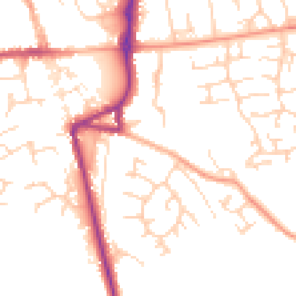
Daytime· 07:00 – 23:00
50.2dB

Everything within walking distance
Schools, transport stops and scenic spots near this property — 37 points of interest in total.
Common questions
The questions buyers, sellers and homeowners most often ask about 1 Barkway Road, Royston, SG8 9EA. Each answer is also embedded as structured data for search engines.
