80 Vicarage Road, Ware, SG12 7AP
About 80 Vicarage Road
80 Vicarage Road is a three-bedroom property in Ware (SG12 7AP). It has council tax band D.
Untraded for 20 years, with the last transfer in January 2006. 4 planning records sit against the property, 4 approved, 0 refused. Past consents include an extension and subdivision, meaningful when judging how the property has evolved.
What this property has
Inside
- Bedrooms3
- Dining roomYes
Outside
- Private gardenSouth-facing
- ParkingOff street
Building
- Heating systemGas
Everything you need to know about 80 Vicarage Road
The true value, the hidden risks and the full sale history, in one report.
30-day money-back guarantee

The data behind every report


Energy performance
No EPC on record
This property doesn't have an Energy Performance Certificate yet. An EPC is required to sell or let — and unlocks our automated valuation.
Planning history
Council records show a subdivision application — the property's legal arrangement has been altered.
- Mar 2016AmendmentIn report
Non material amendment to 3/14/2241/FP - change of first floor window on front elevation
- Documents
- 2 docs on file
- Reference
- 3/16/0381/NMA
- Jan 2015ExtensionFullIn report
Extension: Part single, part two storey · Side and rear of property
Two storey rear extension and part two storey part single storey front extension.
- Agent
- Hertford Planning Service
- Documents
- 5 docs on file
- Reference
- 3/14/2241/FP
We flagged 1 thing worth checking at 80 Vicarage Road
Independent checks surfaced things a buyer would want to understand before offering. The report explains each one in full, with the underlying data and what to ask.
- Larger development activity nearby
30-day money-back guarantee
Sales history & valuation
£250,000
Recorded with HM Land Registry.
Sales timeline
12 January 2006Most recent
£250,000
Median price across the last 5 sales in SG12 7AP: £727,000 (2025–2020).
Everything you need to know about 80 Vicarage Road
The true value, the hidden risks and the full sale history, in one report.
30-day money-back guarantee
The data behind every report
Similar properties nearby
1 Brook End, Wareside
SG12 7QD
1 Barley Ponds Close
SG12 7ET
1 Ash Road
SG12 7JD
1 Ash Cottages, Wareside
SG12 7QY
1 Beechfield Road
SG12 7JA
1 Clements Street
SG12 7AG
1 Bowling Road
SG12 7EH
1 Deerfield Close
SG12 7BX
The neighbourhood at a glance
Rail-style transport is unusually close for this postcode.
Crime
4/mo
Steady year-on-year across the wider district.
Nearest stop
0.2 km
Musley Lane — bus stop.
Closest school
0.4 km
Christ Church CofE (VA) Primary School and Nursery. 12 schools nearby.
Go deeper on the local area
The full report breaks down crime, transport links, schools and air quality in depth.
Road noise across the postcode
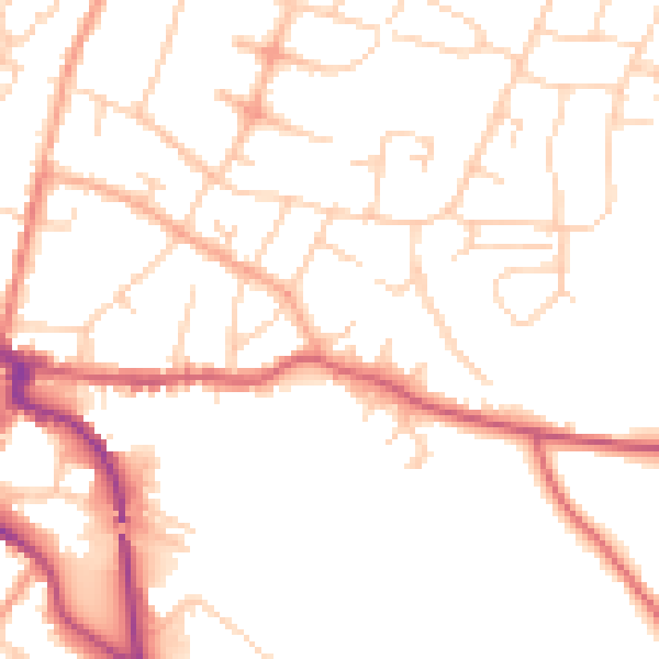
Daytime· 07:00 – 23:00
50.1dB

Night-time· 23:00 – 07:00
40.8dB