17 Horley Road, Bromley, London, SE9 4LF
About 17 Horley Road
17 Horley Road is a two-bedroom property in Bromley, London, London (SE9 4LF). It has council tax band C.
It hasn't traded since February 1996, a hold of 30 years that's notably long for the area. Only one transfer is on record with HM Land Registry, suggesting it has stayed in the same hands for a long time.
What this property has
Inside
- Bedrooms2
Outside
- ParkingOff street
Building
- Heating systemGas
Everything you need to know about 17 Horley Road
The true value, the hidden risks and the full sale history, in one report.
30-day money-back guarantee

The data behind every report


Energy performance
No EPC on record
This property doesn't have an Energy Performance Certificate yet. An EPC is required to sell or let — and unlocks our automated valuation.
Planning history
17 Horley Road has no planning applications on record.
Notable planning nearby
16applications of note in the surrounding area
We flagged 2 things worth checking at 17 Horley Road
Independent checks surfaced things a buyer would want to understand before offering. The report explains each one in full, with the underlying data and what to ask.
- Signs of HMO activity in the area
- Larger development activity nearby
30-day money-back guarantee
Sales history & valuation
Latest sale on 17 Horley Road was the lowest on Land Registry record across the postcode.
£52,500
Recorded with HM Land Registry.
Sales timeline
28 February 1996Most recent
£52,500
Median price across the last 5 sales in SE9 4LF: £362,000 (2025–2019).
Nearby sales in SE9 4LF
4 Horley Road, Bromley, London, SE9 4LF
Sold Oct 2025
£410,00014 Horley Road, Bromley, London, SE9 4LF
Sold Jun 2025
£385,0003 Horley Road, Bromley, London, SE9 4LF
Sold Aug 2021
£362,00016 Horley Road, Bromley, London, SE9 4LF
Sold Nov 2019
£322,50015 Horley Road, Bromley, London, SE9 4LF
Sold Feb 2019
£300,000
Everything you need to know about 17 Horley Road
The true value, the hidden risks and the full sale history, in one report.
30-day money-back guarantee
The data behind every report
Similar properties nearby
1 Aldersgrove Avenue, Lewisham
SE9 4PW
1 Carters Hill Close, Bromley
SE9 4RS
1 Charlesfield, Lewisham
SE9 4NX
1 Duddington Close, Bromley
SE9 4JD
1 Albert Road, Bromley
SE9 4SW
1 Bentfield Gardens, Lewisham
SE9 4PN
1 Blanchard Close, Bromley
SE9 4TZ
1 Clayhill Crescent, Lewisham
SE9 4JA
The neighbourhood at a glance
Reported crime in the wider district is trending notably upward year-on-year.
Crime
6/mo
Rising year-on-year across the wider district.
Nearest stop
0.1 km
Beaconsfield Road (SE9) — bus stop.
Closest school
0.1 km
St Vincent's Catholic Primary School. 34 schools nearby.
Go deeper on the local area
The full report breaks down crime, transport links, schools and air quality in depth.
Road noise across the postcode
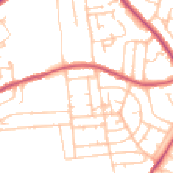
Daytime· 07:00 – 23:00
49.5dB

Night-time· 23:00 – 07:00
38.8dB