15 Horley Road, Bromley, London, SE9 4LF
About 15 Horley Road
15 Horley Road is a three-bedroom mid-terrace house in Bromley, London, London (SE9 4LF). It has a recorded floor area of 65 m² (around 700 sq ft), construction records dating it to 1930-1949 and council tax band C. The latest certificate (December 2012) shows a D (score 68), on the cusp of jumping into the C band. The rating has held steady at D across 3 certificates since October 2009. Between certificates, window efficiency dropped from Good to Average. The recommended improvements would lift it to B (score 85), a 2-band jump. The latest certificate is from December 2012, so improvements made since then won't be reflected.
Across 2005–2019, sale prices on this property compounded at 4.6% per year. Today's modelled estimate of £391,000 is 30.3% above the 2019 sale price. On a £-per-square-foot basis, the last sale (£429/sq ft) was about 25.9% above the typical sold price in the postcode. Last sale on file: £300,000 in February 2019. One historical planning record sits against the property in 2025.
What this property has
Inside
- Bedrooms3
- Bathrooms1
Outside
- Private gardenYes
- ParkingOff street
Building
- Heating systemGas
- RefurbishedYes
Everything you need to know about 15 Horley Road
The true value, the hidden risks and the full sale history, in one report.
30-day money-back guarantee

The data behind every report


Energy performance
Recommended upgrades on file would lift this property by multiple EPC bands.
EPC Expired
This certificate is over 10 years old and is no longer valid.Expired 21 Dec 2022
EPC Rating
Property Improvements
Changes detected from historical EPC data
Heating controls upgraded for better temperature management
Roof insulation improved
More low energy lighting installed
Low energy lighting percentage decreased
Planning history
A recent planning application at 15 Horley Road was refused — worth checking the council file.
- Oct 2025RenovationFullIn report
Erection of trellis timber panel fences to rear garden and walls and fence to front garden. PART RETROSPECTIVE
Retrospective- Documents
- 10 docs on file
- Reference
- 25/01399/FULL6
We flagged 3 things worth checking at 15 Horley Road
Independent checks surfaced things a buyer would want to understand before offering. The report explains each one in full, with the underlying data and what to ask.
- Signs of HMO activity in the area
- Larger development activity nearby
- A planning decision worth checking
30-day money-back guarantee
Sales history & valuation
15 Horley Road valuation sits well clear of the typical sold price in this postcode.
£391,000
Modelled from EPC, postcode comparables and a sale-price growth of 4.6% per year over 14 years.
£300,000
Growth on file: 4.6% per year over 14 years.
Sales timeline
22 February 2019Most recent
£300,000
+71.4%over 12 years19 October 2006
£175,000
+9.4%over 1 year28 February 2005
£159,995
Median price across the last 5 sales in SE9 4LF: £362,000 (2025–2017).
Nearby sales in SE9 4LF
4 Horley Road, Bromley, London, SE9 4LF
Sold Oct 2025
£410,00014 Horley Road, Bromley, London, SE9 4LF
Sold Jun 2025
£385,0003 Horley Road, Bromley, London, SE9 4LF
Sold Aug 2021
£362,00016 Horley Road, Bromley, London, SE9 4LF
Sold Nov 2019
£322,5005 Horley Road, Bromley, London, SE9 4LF
Sold May 2017
£320,000
Versus other Horley Road homes
Price per m²
£4,615
Street avg £4,914
Floor Area
65 m²
Street avg 65 m²
Habitable Rooms
3 rooms
Street avg 4 rooms
CO₂ Emissions
2.5 t/year
Street avg 2.5 t/year
Everything you need to know about 15 Horley Road
The true value, the hidden risks and the full sale history, in one report.
30-day money-back guarantee
The data behind every report
Similar properties nearby
1 Bentfield Gardens, Lewisham
SE9 4PN
1 Dittisham Road, Bromley
SE9 4BJ
1 Blanchard Close, Bromley
SE9 4TZ
1 Cattistock Road, Bromley
SE9 4AW
1 Carters Hill Close, Bromley
SE9 4RS
1 Duddington Close, Bromley
SE9 4JD
1 Aldersgrove Avenue, Lewisham
SE9 4PW
1 Charlesfield, Lewisham
SE9 4NX
The neighbourhood at a glance
Reported crime in the wider district is trending notably upward year-on-year.
Crime
6/mo
Rising year-on-year across the wider district.
Nearest stop
0.1 km
Beaconsfield Road (SE9) — bus stop.
Closest school
0.1 km
St Vincent's Catholic Primary School. 34 schools nearby.
Go deeper on the local area
The full report breaks down crime, transport links, schools and air quality in depth.
Road noise across the postcode
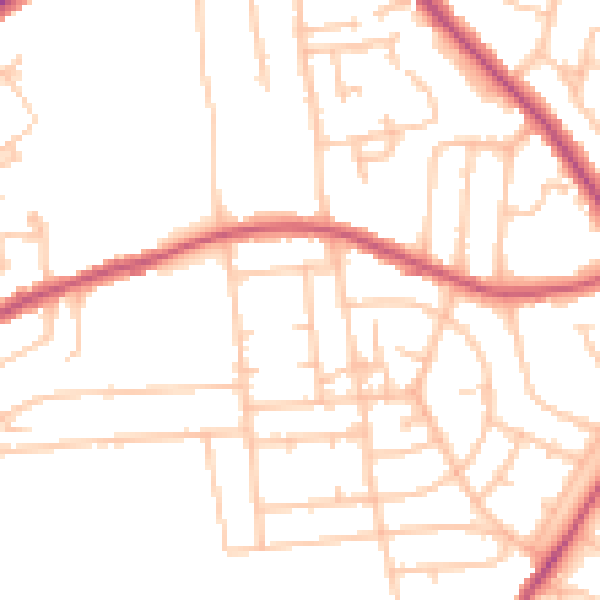
Daytime· 07:00 – 23:00
49.5dB

Night-time· 23:00 – 07:00
38.8dB