19 Hassop Walk, Bromley, London, SE9 4JT
About 19 Hassop Walk
19 Hassop Walk is a two-bedroom mid-terrace house in Bromley, London, London (SE9 4JT). It has a recorded floor area of 64 m² (around 689 sq ft), construction records dating it to 1930-1949 and council tax band C. The latest certificate (May 2023) shows a C (score 71). When first surveyed in April 2014 the rating was E, the property has climbed 2 bands since. Between certificates, roof efficiency went from Very Poor to Average, hot-water efficiency went from Poor to Good and lighting went from Poor to Very Good. The recommended improvements would push it to B (score 88).
Across 2004–2014, sale prices on this property compounded at 4.1% per year. Today's modelled estimate of £394,000 sits 71.3% above the 2014 sale of £230,000. On a £-per-square-foot basis, the last sale (£334/sq ft) was about 47.3% above the typical sold price in the postcode. On the market in July 2014 and unlisted since — roughly 12 years.
What this property has
Inside
- Bedrooms2
Outside
- ParkingOff street
Everything you need to know about 19 Hassop Walk
The true value, the hidden risks and the full sale history, in one report.
30-day money-back guarantee

The data behind every report


Energy performance
EPC Rating
Property Improvements
Changes detected from historical EPC data
Heating controls upgraded for better temperature management
Hot water system upgraded
Roof insulation improved
More low energy lighting installed
Planning history
19 Hassop Walk has no planning applications on record.
Notable planning nearby
16applications of note in the surrounding area
We flagged 2 things worth checking at 19 Hassop Walk
Independent checks surfaced things a buyer would want to understand before offering. The report explains each one in full, with the underlying data and what to ask.
- Signs of HMO activity in the area
- Larger development activity nearby
30-day money-back guarantee
Sales history & valuation
19 Hassop Walk valuation sits well clear of the typical sold price in this postcode.
£394,000
Modelled from EPC, postcode comparables and a sale-price growth of 4.1% per year over 10 years.
£230,000
Growth on file: 4.1% per year over 10 years.
Sales timeline
3 July 2014Most recent
£230,000
+47.9%over 9 years30 August 2004
£155,500
Median price across the last 5 sales in SE9 4JT: £305,000 (2025–2013).
Nearby sales in SE9 4JT
3 Hassop Walk, Bromley, London, SE9 4JT
Sold Feb 2025
£400,00043 Hassop Walk, Bromley, London, SE9 4JT
Sold Nov 2022
£417,25011 Hassop Walk, Bromley, London, SE9 4JT
Sold Oct 2015
£270,00047 Hassop Walk, Bromley, London, SE9 4JT
Sold Dec 2013
£215,00045 Hassop Walk, Bromley, London, SE9 4JT
Sold Aug 2013
£195,500
Versus other Hassop Walk homes
19 Hassop Walk is notably below the street on floor area.
Price per m²
£3,594
Street avg £3,534
Floor Area
64 m²
Street avg 115 m²
Habitable Rooms
3 rooms
Street avg 4 rooms
CO₂ Emissions
2.2 t/year
Street avg 3.5 t/year
Everything you need to know about 19 Hassop Walk
The true value, the hidden risks and the full sale history, in one report.
30-day money-back guarantee
The data behind every report
Similar properties nearby
1 Duddington Close, Bromley
SE9 4JD
1 Carters Hill Close, Bromley
SE9 4RS
1 Aldersgrove Avenue, Lewisham
SE9 4PW
1 Charlesfield, Lewisham
SE9 4NX
1 Bentfield Gardens, Lewisham
SE9 4PN
1 Dittisham Road, Bromley
SE9 4BJ
1 Blanchard Close, Bromley
SE9 4TZ
1 Albert Road, Bromley
SE9 4SW
The neighbourhood at a glance
Reported crime in the wider district is trending notably upward year-on-year.
Crime
6/mo
Rising year-on-year across the wider district.
Nearest stop
0.2 km
Beaconsfield Road (SE9) — bus stop.
Closest school
0.1 km
St Vincent's Catholic Primary School. 33 schools nearby.
Go deeper on the local area
The full report breaks down crime, transport links, schools and air quality in depth.
Road noise across the postcode
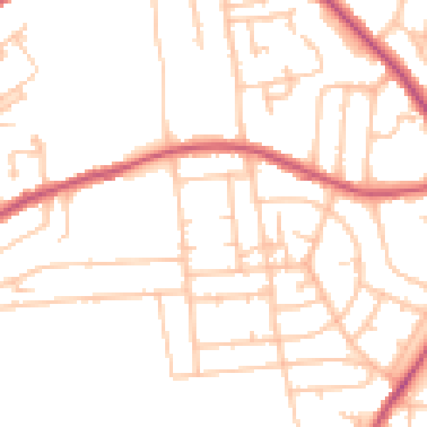
Daytime· 07:00 – 23:00
49.1dB

Night-time· 23:00 – 07:00
38.5dB