11 Hassop Walk, Bromley, London, SE9 4JT
About 11 Hassop Walk
11 Hassop Walk is a two-bedroom end-of-terrace house in Bromley, London, London (SE9 4JT). It has a recorded floor area of 594 m² (around 6394 sq ft), construction records dating it to 1950-1966 and council tax band C. The latest certificate (May 2015) shows a C (score 74). When first surveyed in December 2013 the rating was E, the property has climbed 2 bands since. Between certificates, wall efficiency went from Poor to Good. The recommended improvements would push it to B (score 83). The latest certificate is from May 2015, so improvements made since then won't be reflected.
At 594 m² the property is well over the postcode median (64 m² across 19 EPCs), placing it in the larger end of the local stock. One planning record on file: an extension approved in 2023. Past consents include an extension and a porch, meaningful when judging how the property has evolved. Across 1995–2015, sale prices on this property compounded at 8.6% per year. Today's modelled estimate of £372,000 is 37.8% above the 2015 sale price. On a £-per-square-foot basis, the last sale (£42/sq ft) was about 83.4% below the postcode norm. On the market in October 2015 and unlisted since — roughly 11 years.
What this property has
Inside
- Bedrooms2
- CloakroomYes
Building
- Central heatingYes
Everything you need to know about 11 Hassop Walk
The true value, the hidden risks and the full sale history, in one report.
30-day money-back guarantee

The data behind every report


Energy performance
11 Hassop Walk's carbon output runs well above what efficient homes in the postcode produce.
EPC Expired
This certificate is over 10 years old and is no longer valid.Expired 27 May 2025
EPC Rating
Property Improvements
Changes detected from historical EPC data
Cavity wall insulation installed
Planning history
- May 2023PorchFullIn report
Extension: Single storey · Rear of property
Proposed single storey rear extension and proposed side porch
- Agent
- MAC Architecture Ltd
Extension- Documents
- 21 docs on file
- Reference
- 23/01265/FULL6
We flagged 2 things worth checking at 11 Hassop Walk
Independent checks surfaced things a buyer would want to understand before offering. The report explains each one in full, with the underlying data and what to ask.
- Signs of HMO activity in the area
- Larger development activity nearby
30-day money-back guarantee
Sales history & valuation
11 Hassop Walk has more than quadrupled in price since its earliest registered sale in 1995.
£372,000
Modelled from EPC, postcode comparables and a sale-price growth of 8.6% per year over 20 years.
£270,000
Growth on file: 8.6% per year over 20 years.
Sales timeline
15 October 2015Most recent
£270,000
+151.2%over 14 years2 October 2001
£107,500
+110.8%over 6 years24 August 1995
£51,000
Median price across the last 5 sales in SE9 4JT: £305,000 (2025–2013).
Nearby sales in SE9 4JT
3 Hassop Walk, Bromley, London, SE9 4JT
Sold Feb 2025
£400,00043 Hassop Walk, Bromley, London, SE9 4JT
Sold Nov 2022
£417,25019 Hassop Walk, Bromley, London, SE9 4JT
Sold Jul 2014
£230,00047 Hassop Walk, Bromley, London, SE9 4JT
Sold Dec 2013
£215,00045 Hassop Walk, Bromley, London, SE9 4JT
Sold Aug 2013
£195,500
Versus other Hassop Walk homes
11 Hassop Walk is notably below the street on price per m².
Price per m²
£455
Street avg £4,162
Floor Area
594 m²
Street avg 67 m²
Habitable Rooms
3 rooms
Street avg 4 rooms
CO₂ Emissions
14.0 t/year
Street avg 2.4 t/year
Everything you need to know about 11 Hassop Walk
The true value, the hidden risks and the full sale history, in one report.
30-day money-back guarantee
The data behind every report
Similar properties nearby
1 Carters Hill Close, Bromley
SE9 4RS
1 Aldersgrove Avenue, Lewisham
SE9 4PW
1 Duddington Close, Bromley
SE9 4JD
1 Charlesfield, Lewisham
SE9 4NX
1 Bentfield Gardens, Lewisham
SE9 4PN
1 Dittisham Road, Bromley
SE9 4BJ
1 Blanchard Close, Bromley
SE9 4TZ
1 Albert Road, Bromley
SE9 4SW
The neighbourhood at a glance
Reported crime in the wider district is trending notably upward year-on-year.
Crime
6/mo
Rising year-on-year across the wider district.
Nearest stop
0.2 km
Beaconsfield Road (SE9) — bus stop.
Closest school
0.1 km
St Vincent's Catholic Primary School. 33 schools nearby.
Go deeper on the local area
The full report breaks down crime, transport links, schools and air quality in depth.
Road noise across the postcode
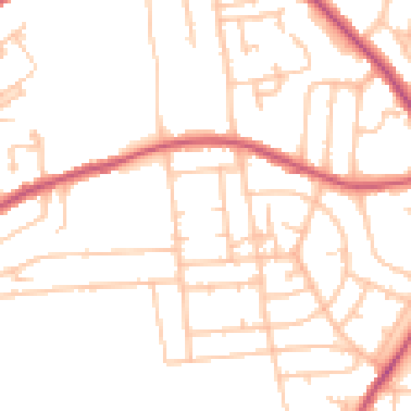
Daytime· 07:00 – 23:00
49.1dB

Night-time· 23:00 – 07:00
38.5dB