23 Cattistock Road, Bromley, London, SE9 4AW
About 23 Cattistock Road
23 Cattistock Road is a three-bedroom end-of-terrace house in Bromley, London, London (SE9 4AW). It has a recorded floor area of 83 m² (around 893 sq ft), construction records dating it to 1930-1949 and council tax band C. The latest certificate (September 2025) shows a C (score 69), just inside the C band. When first surveyed in April 2010 the rating was E, the property has climbed 2 bands since. Between certificates, hot-water efficiency went from Average to Good, lighting went from Average to Good and main heating went from Average to Good; while roof efficiency dropped from Average to Poor.
Across 1997–2013, sale prices on this property compounded at 8.1% per year. Today's modelled estimate of £438,000 sits 78% above the 2013 sale of £246,000. At 83 m² it's 23.9% larger than the typical home in the postcode (67 m² median across 23 EPCs). 12 years since the last transfer (December 2013).
What this property has
Inside
- Bedrooms3
- Bathrooms1
Everything you need to know about 23 Cattistock Road
The true value, the hidden risks and the full sale history, in one report.
30-day money-back guarantee

The data behind every report


Energy performance
EPC Rating
Property Improvements
Changes detected from historical EPC data
Heating controls upgraded for better temperature management
Hot water efficiency improved
Windows upgraded, improving insulation
More low energy lighting installed
Wall insulation improved
More low energy lighting installed
Solar PV panels (50 kWp) installed
Planning history
23 Cattistock Road has no planning applications on record.
Notable planning nearby
16applications of note in the surrounding area
We flagged 2 things worth checking at 23 Cattistock Road
Independent checks surfaced things a buyer would want to understand before offering. The report explains each one in full, with the underlying data and what to ask.
- Signs of HMO activity in the area
- Larger development activity nearby
30-day money-back guarantee
Sales history & valuation
Sale price has grown by over 3x since 1997.
£438,000
Modelled from EPC, postcode comparables and a sale-price growth of 8.1% per year over 17 years.
£246,000
Growth on file: 8.1% per year over 17 years.
Sales timeline
23 December 2013Most recent
£246,000
+26.2%over 7 years17 August 2006
£194,950
+195.4%over 9 years7 March 1997
£66,000
Median price across the last 5 sales in SE9 4AW: £345,000 (2024–2021).
Nearby sales in SE9 4AW
9 Cattistock Road, Bromley, London, SE9 4AW
Sold Aug 2024
£325,00057 Cattistock Road, Bromley, London, SE9 4AW
Sold Feb 2024
£345,00059 Cattistock Road, Bromley, London, SE9 4AW
Sold Mar 2022
£400,00043 Cattistock Road, Bromley, London, SE9 4AW
Sold Jun 2021
£375,00019 Cattistock Road, Bromley, London, SE9 4AW
Sold May 2021
£300,000
Versus other Cattistock Road homes
On floor area, 23 Cattistock Road stands well clear of the street.
Price per m²
£2,964
Street avg £4,025
Floor Area
83 m²
Street avg 75 m²
Habitable Rooms
4 rooms
Street avg 4 rooms
CO₂ Emissions
2.6 t/year
Street avg 3.2 t/year
Everything you need to know about 23 Cattistock Road
The true value, the hidden risks and the full sale history, in one report.
30-day money-back guarantee
The data behind every report
Similar properties nearby
1 Blanchard Close, Bromley
SE9 4TZ
1 Dittisham Road, Bromley
SE9 4BJ
1 Bentfield Gardens, Lewisham
SE9 4PN
1 Duddington Close, Bromley
SE9 4JD
1 Cattistock Road, Bromley
SE9 4AW
1 Carters Hill Close, Bromley
SE9 4RS
1 Aldersgrove Avenue, Lewisham
SE9 4PW
1 Beaconsfield Road, Bromley
SE9 4DJ
The neighbourhood at a glance
Rail-style transport is unusually close for this postcode.
Crime
6/mo
Rising year-on-year across the wider district.
Nearest stop
0.2 km
St Keverne Road — bus stop.
Closest school
0.3 km
Elmstead Wood Primary School. 32 schools nearby.
Go deeper on the local area
The full report breaks down crime, transport links, schools and air quality in depth.
Road noise across the postcode
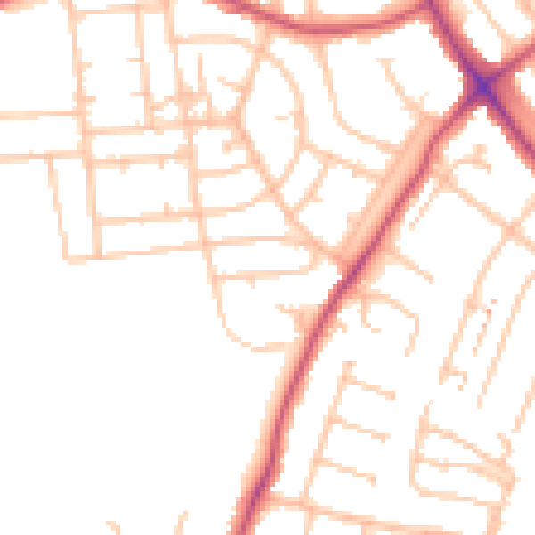
Daytime· 07:00 – 23:00
49.2dB

Night-time· 23:00 – 07:00
38.7dB