6 Frensham Road, Bexley, London, SE9 3RQ
About 6 Frensham Road
6 Frensham Road is a property in Bexley, London, London (SE9 3RQ). It has council tax band E.
Untraded for 26 years, with the last transfer in July 2000. Only one transfer is on record with HM Land Registry, suggesting it has stayed in the same hands for a long time. One planning record on file: an extension approved in 2012. Past consents include an extension, meaningful when judging how the property has evolved.
Everything you need to know about 6 Frensham Road
The true value, the hidden risks and the full sale history, in one report.
30-day money-back guarantee

The data behind every report


Energy performance
No EPC on record
This property doesn't have an Energy Performance Certificate yet. An EPC is required to sell or let — and unlocks our automated valuation.
Planning history
6 Frensham Road has an approved single-storey side and rear extension on the planning record.
- Apr 2012ExtensionFullIn report
Extension: Single storey · Side and rear of property
First floor side and rear extension
- Documents
- 9 docs on file
- Reference
- 12/00324/FUL
We flagged 1 thing worth checking at 6 Frensham Road
Independent checks surfaced things a buyer would want to understand before offering. The report explains each one in full, with the underlying data and what to ask.
- Signs of HMO activity in the area
30-day money-back guarantee
Sales history & valuation
£194,000
Recorded with HM Land Registry.
Sales timeline
20 July 2000Most recent
£194,000
Median price across the last 5 sales in SE9 3RQ: £650,000 (2024–2021).
Nearby sales in SE9 3RQ
50 Frensham Road, Bexley, London, SE9 3RQ
Sold Nov 2024
£625,00028 Frensham Road, Bexley, London, SE9 3RQ
Sold Nov 2022
£650,0004 Frensham Road, Bexley, London, SE9 3RQ
Sold Jul 2022
£685,00046 Frensham Road, Bexley, London, SE9 3RQ
Sold Nov 2021
£600,0002 Frensham Road, Bexley, London, SE9 3RQ
Sold Jun 2021
£650,000
Everything you need to know about 6 Frensham Road
The true value, the hidden risks and the full sale history, in one report.
30-day money-back guarantee
The data behind every report
Similar properties nearby
1 Adderley Gardens, Greenwich
SE9 3EZ
1 Agaton Road, Bexley
SE9 3RN
1 Aldwick Close, Bexley
SE9 3UE
1 Badgers Croft, Greenwich
SE9 3DA
1 Barley Barn Mews, Greenwich
SE9 3BU
1 Beanshaw, Greenwich
SE9 3HL
1 Beaumanor Gardens, Greenwich
SE9 3HG
1 Bercta Road, Greenwich
SE9 3TZ
The neighbourhood at a glance
Rail-style transport is unusually close for this postcode.
Crime
6/mo
Rising year-on-year across the wider district.
Nearest stop
0.3 km
County Gate — bus stop.
Closest school
0.3 km
Dulverton Primary School. 35 schools nearby.
Go deeper on the local area
The full report breaks down crime, transport links, schools and air quality in depth.
Road noise across the postcode
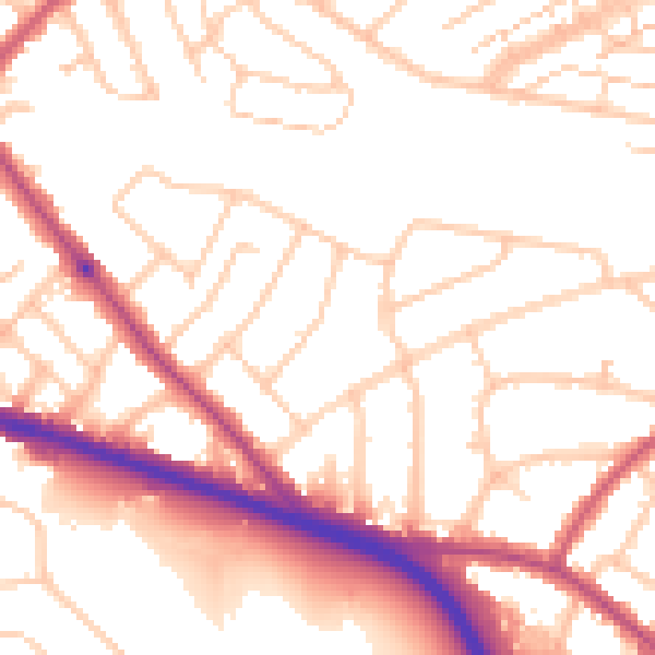
Daytime· 07:00 – 23:00
52.8dB

Night-time· 23:00 – 07:00
43.2dB