13 Charldane Road, Greenwich, London, SE9 3PF
About 13 Charldane Road
13 Charldane Road is a property in Greenwich, London, London (SE9 3PF). It has council tax band E.
Held since November 2003 — that's 23 years off the open market, well above the local norm.
Everything you need to know about 13 Charldane Road
The true value, the hidden risks and the full sale history, in one report.
30-day money-back guarantee

The data behind every report


Energy performance
No EPC on record
This property doesn't have an Energy Performance Certificate yet. An EPC is required to sell or let — and unlocks our automated valuation.
Planning history
13 Charldane Road has no planning applications on record.
Notable planning nearby
25applications of note in the surrounding area
We flagged 1 thing worth checking at 13 Charldane Road
Independent checks surfaced things a buyer would want to understand before offering. The report explains each one in full, with the underlying data and what to ask.
- Signs of HMO activity in the area
30-day money-back guarantee
Sales history & valuation
£275,000
Recorded with HM Land Registry.
Sales timeline
28 November 2003Most recent
£275,000
Median price across the last 5 sales in SE9 3PF: £550,000 (2025–2019).
Nearby sales in SE9 3PF
35 Charldane Road, Greenwich, London, SE9 3PF
Sold Mar 2025
£845,00045 Charldane Road, Greenwich, London, SE9 3PF
Sold Feb 2025
£620,00023 Charldane Road, Greenwich, London, SE9 3PF
Sold Feb 2024
£530,00015 Charldane Road, Greenwich, London, SE9 3PF
Sold Aug 2019
£550,00011 Charldane Road, Greenwich, London, SE9 3PF
Sold Jan 2019
£545,000
Everything you need to know about 13 Charldane Road
The true value, the hidden risks and the full sale history, in one report.
30-day money-back guarantee
The data behind every report
Similar properties nearby
1 Charldane Road, Greenwich
SE9 3PF
1 Chartwell Close, Bexley
SE9 3UQ
1 Bercta Road, Greenwich
SE9 3TZ
1 Agaton Road, Bexley
SE9 3RN
1 Cedric Road, Greenwich
SE9 3SQ
1 Clayfarm Road, Greenwich
SE9 3PS
1 Biddenden Way, Greenwich
SE9 3DN
1 Bill Hamling Close, Greenwich
SE9 3LP
The neighbourhood at a glance
Rail-style transport is unusually close for this postcode.
Crime
6/mo
Rising year-on-year across the wider district.
Nearest stop
0.2 km
William Barefoot Drive — bus stop.
Closest school
0.7 km
Montbelle Primary School. 31 schools nearby.
Go deeper on the local area
The full report breaks down crime, transport links, schools and air quality in depth.
Road noise across the postcode
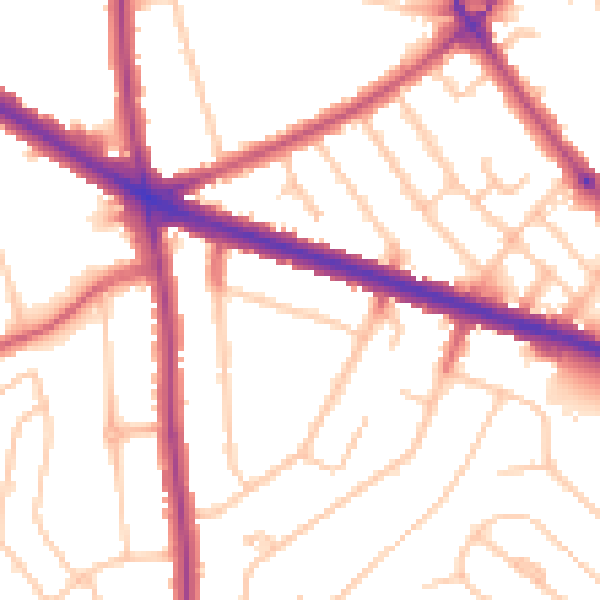
Daytime· 07:00 – 23:00
52.4dB

Night-time· 23:00 – 07:00
43.2dB