37 Colepits Wood Road, Greenwich, London, SE9 2QJ
About 37 Colepits Wood Road
37 Colepits Wood Road is a property in Greenwich, London, London (SE9 2QJ). It has council tax band F.
Energy performance
No EPC on record
This property doesn't have an Energy Performance Certificate yet. An EPC is required to sell or let — and unlocks our automated valuation.
Planning history
No planning applications are recorded against 37 Colepits Wood Road, Greenwich, London, SE9 2QJ. The full report also covers planning activity across the surrounding area.
Sales history & valuation
No sales recorded with HM Land Registry
That can mean the property has never traded since the registry began publishing in 1995, was a new build that hasn't been registered yet, or is held in the same hands long-term.
Median price across the last 5 sales in SE9 2QJ: £650,000 (2023–2016).
Nearby sales in SE9 2QJ
1 Colepits Wood Road, Greenwich, London, SE9 2QJ
Sold Mar 2023
£650,00039 Colepits Wood Road, Greenwich, London, SE9 2QJ
Sold Feb 2021
£715,00067 Colepits Wood Road, Greenwich, London, SE9 2QJ
Sold Sept 2020
£725,00057 Colepits Wood Road, Greenwich, London, SE9 2QJ
Sold Aug 2019
£642,50021 Colepits Wood Road, Greenwich, London, SE9 2QJ
Sold Jun 2016
£625,000
Similar properties nearby
1 Alverstone Gardens, Greenwich
SE9 2BZ
1 Andrews Place, Greenwich
SE9 2SJ
1 Anstridge Road, Greenwich
SE9 2LL
1 Beaverbank Road, Greenwich
SE9 2HG
1 Braywood Road, Bexley
SE9 2RH
1 Brentwood Close, Greenwich
SE9 2DT
1 Cambridge Green, Greenwich
SE9 2AQ
1 Castleford Avenue, Greenwich
SE9 2AH
The neighbourhood at a glance
Rail-style transport is unusually close for this postcode.
Crime
6/mo
Rising year-on-year across the wider district.
Nearest stop
0.2 km
Riefield Road / Leigh Stationers' Academy — bus stop.
Closest school
0.5 km
Leigh Stationers' Academy. 43 schools nearby.
Road noise across the postcode
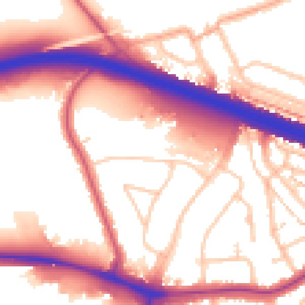
Daytime· 07:00 – 23:00
56.8dB

Night-time· 23:00 – 07:00
48.5dB