1 Anstridge Road, Greenwich, London, SE9 2LL
About 1 Anstridge Road
1 Anstridge Road is a two-bedroom end-of-terrace house in Greenwich, London, London (SE9 2LL). It has a recorded floor area of 72 m² (around 775 sq ft), construction records dating it to 1950-1966 and council tax band C. The latest certificate (March 2023) shows a C (score 69), just inside the C band. When first surveyed in February 2013 the rating was D, the property has climbed 1 band since. Between certificates, wall efficiency went from Very Poor to Average and roof efficiency went from Average to Very Good; while lighting dropped from Very Good to Good. The recommended improvements would push it to B (score 83). Our model identifies extension potential, subject to local planning policy. The home occupies a corner plot.
At 72 m² the property is well over the postcode median (52 m² across 21 EPCs), placing it in the larger end of the local stock. Today's modelled estimate of £406,000 is 34.9% above the 2019 sale price. On a £-per-square-foot basis, the last sale (£388/sq ft) was about 86.2% above the typical sold price in the postcode. Last sale on file: £301,000 in July 2019.
What this property has
Inside
- Bedrooms2
- Bathrooms1
- CloakroomYes
Outside
- Private gardenYes
- Corner plotYes
Building
- RefurbishedYes
- Extension potentialPossible
Everything you need to know about 1 Anstridge Road
The true value, the hidden risks and the full sale history, in one report.
30-day money-back guarantee

The data behind every report


Energy performance
EPC Rating
Property Improvements
Changes detected from historical EPC data
Wall insulation improved
Cavity wall insulation installed
Roof insulation improved
Low energy lighting percentage decreased
Roof insulation improved
Planning history
1 Anstridge Road has no planning applications on record.
Notable planning nearby
4applications of note in the surrounding area
We flagged 1 thing worth checking at 1 Anstridge Road
Independent checks surfaced things a buyer would want to understand before offering. The report explains each one in full, with the underlying data and what to ask.
- Larger development activity nearby
30-day money-back guarantee
Sales history & valuation
Latest sale on 1 Anstridge Road was the highest on Land Registry record across the postcode.
£406,000
Modelled from EPC, postcode comparables.
£301,000
Recorded with HM Land Registry.
Sales timeline
2 July 2019Most recent
£301,000
Median price across the last 5 sales in SE9 2LL: £225,000 (2020–2015).
Nearby sales in SE9 2LL
29 Anstridge Road, Greenwich, London, SE9 2LL
Sold Jul 2020
£217,30025 Anstridge Road, Greenwich, London, SE9 2LL
Sold Jul 2018
£225,00059 Anstridge Road, Greenwich, London, SE9 2LL
Sold Feb 2018
£227,00069 Anstridge Road, Greenwich, London, SE9 2LL
Sold Mar 2015
£289,99545 Anstridge Road, Greenwich, London, SE9 2LL
Sold Jun 2013
£125,000
Versus other Anstridge Road homes
1 Anstridge Road outperforms the street on price per m² by a wide margin.
Price per m²
£4,181
Street avg £2,020
Floor Area
72 m²
Street avg 82 m²
Habitable Rooms
3 rooms
Street avg 4 rooms
CO₂ Emissions
2.7 t/year
Street avg 3.7 t/year
Everything you need to know about 1 Anstridge Road
The true value, the hidden risks and the full sale history, in one report.
30-day money-back guarantee
The data behind every report
Similar properties nearby
1 Hainault Street, Greenwich
SE9 2EF
1 Lannoy Road, Greenwich
SE9 2BL
1 Gaitskell Road, Greenwich
SE9 2DL
1 Oakley Drive, Bexley
SE9 2HQ
1 Brentwood Close, Greenwich
SE9 2DT
1 Merchland Road, Greenwich
SE9 2BQ
1 Alverstone Gardens, Greenwich
SE9 2BZ
1 Keightley Drive, Greenwich
SE9 2HF
The neighbourhood at a glance
Reported crime in the wider district is trending notably upward year-on-year.
Crime
6/mo
Rising year-on-year across the wider district.
Nearest stop
0.1 km
Avery Hill Road — bus stop.
Closest school
0.3 km
Alderwood Primary School. 33 schools nearby.
Go deeper on the local area
The full report breaks down crime, transport links, schools and air quality in depth.
Road noise across the postcode
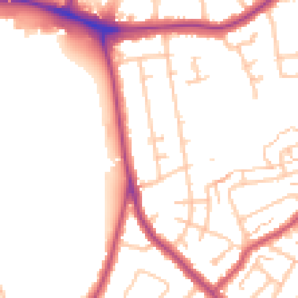
Daytime· 07:00 – 23:00
51.4dB

Night-time· 23:00 – 07:00
41.8dB