31 Lannoy Road, Greenwich, London, SE9 2BL
About 31 Lannoy Road
31 Lannoy Road is a property in Greenwich, London, London (SE9 2BL). It has council tax band D.
Untraded for 28 years, with the last transfer in January 1998. Only one transfer is on record with HM Land Registry, suggesting it has stayed in the same hands for a long time.
Everything you need to know about 31 Lannoy Road
The true value, the hidden risks and the full sale history, in one report.
30-day money-back guarantee

The data behind every report


Energy performance
No EPC on record
This property doesn't have an Energy Performance Certificate yet. An EPC is required to sell or let — and unlocks our automated valuation.
Planning history
31 Lannoy Road has no planning applications on record.
Notable planning nearby
4applications of note in the surrounding area
We flagged 1 thing worth checking at 31 Lannoy Road
Independent checks surfaced things a buyer would want to understand before offering. The report explains each one in full, with the underlying data and what to ask.
- Larger development activity nearby
30-day money-back guarantee
Sales history & valuation
31 Lannoy Road has been held in the same hands since before 2000.
£76,500
Recorded with HM Land Registry.
Sales timeline
29 January 1998Most recent
£76,500
Median price across the last 5 sales in SE9 2BL: £400,000 (2023–2020).
Nearby sales in SE9 2BL
11 Lannoy Road, Greenwich, London, SE9 2BL
Sold Oct 2023
£377,00025 Lannoy Road, Greenwich, London, SE9 2BL
Sold Apr 2023
£400,00033 Lannoy Road, Greenwich, London, SE9 2BL
Sold Sept 2021
£465,00019 Lannoy Road, Greenwich, London, SE9 2BL
Sold May 2021
£420,00045 Lannoy Road, Greenwich, London, SE9 2BL
Sold Jun 2020
£396,000
Everything you need to know about 31 Lannoy Road
The true value, the hidden risks and the full sale history, in one report.
30-day money-back guarantee
The data behind every report
Similar properties nearby
1 Alverstone Gardens, Greenwich
SE9 2BZ
1 Andrews Place, Greenwich
SE9 2SJ
1 Anstridge Road, Greenwich
SE9 2LL
1 Beaverbank Road, Greenwich
SE9 2HG
1 Braywood Road, Bexley
SE9 2RH
1 Brentwood Close, Greenwich
SE9 2DT
1 Cambridge Green, Greenwich
SE9 2AQ
1 Castleford Avenue, Greenwich
SE9 2AH
The neighbourhood at a glance
Rail-style transport is unusually close for this postcode.
Crime
6/mo
Rising year-on-year across the wider district.
Nearest stop
0.1 km
New Eltham Stn /Footscray Road — bus stop.
Closest school
0.2 km
Wyborne Primary School. 37 schools nearby.
Go deeper on the local area
The full report breaks down crime, transport links, schools and air quality in depth.
Road noise across the postcode
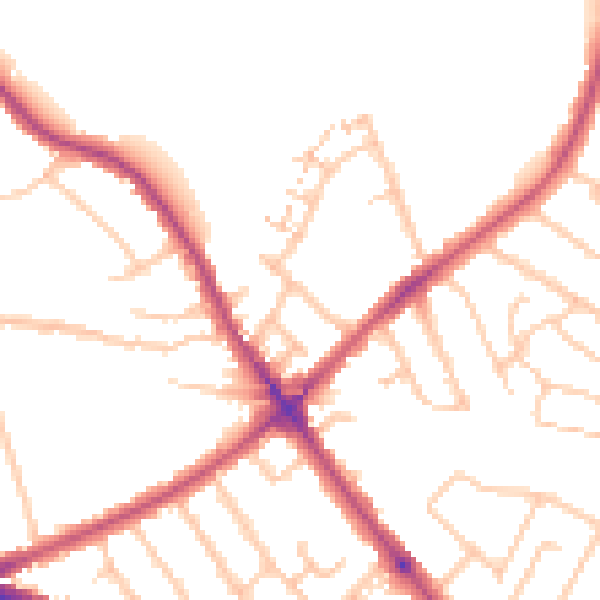
Daytime· 07:00 – 23:00
49.9dB

Night-time· 23:00 – 07:00
40.6dB