73 Rokeby Road, Lewisham, London, SE4 1DF
About 73 Rokeby Road
73 Rokeby Road is a property in Lewisham, London, London (SE4 1DF).
It changed hands recently, sold February 2025 for £320,050.
Everything you need to know about 73 Rokeby Road
The true value, the hidden risks and the full sale history, in one report.
Pick your report · every report is £14.99
One time fee only - money back guarantee

The data behind every report


Energy performance
No EPC on record
This property doesn't have an Energy Performance Certificate yet. An EPC is required to sell or let — and unlocks our automated valuation.
Get a survey for this property
Level 2 HomeBuyer Report
We've checked 10 risk factors against the available data for this property and believe a Level 2 HomeBuyer Report could be a suitable option for you.
Planning history
73 Rokeby Road has no planning applications on record.
But the area is active
19 notable applications nearby — larger schemes and conversions that could reshape the street. The report maps them all.
Sales history & valuation
£320,050
Recorded with HM Land Registry.
Sales timeline
21 February 2025Most recent
£320,050
Median price across the last 5 sales in SE4 1DF: £465,000 (2025–2023).
Nearby sales in SE4 1DF
70 Rokeby Road, Lewisham, London, SE4 1DF
Sold Jun 2025
£1,450,00076 Rokeby Road, Lewisham, London, SE4 1DF
Sold Jul 2024
£465,00074 Rokeby Road, Lewisham, London, SE4 1DF
Sold Jul 2024
£610,00073a, Rokeby Road, London, SE4 1DF
Sold Aug 2023
£332,50075 Rokeby Road, Lewisham, London, SE4 1DF
Sold Aug 2023
£446,000
Everything you need to know about 73 Rokeby Road
The true value, the hidden risks and the full sale history, in one report.
Pick your report · every report is £14.99
One time fee only - money back guarantee
The data behind every report
Similar properties nearby
1 2, Flat 1, Vulcan Terrace, Lewisham
SE4 1DA
1 2, Flat 10, Vulcan Terrace, Lewisham
SE4 1DA
1 2, Flat 11, Vulcan Terrace, Lewisham
SE4 1DA
1 2, Flat 12, Vulcan Terrace, Lewisham
SE4 1DA
1 2, Flat 2, Vulcan Terrace, Lewisham
SE4 1DA
1 2, Flat 3, Vulcan Terrace, Lewisham
SE4 1DA
1 2, Flat 4, Vulcan Terrace, Lewisham
SE4 1DA
1 2, Flat 5, Vulcan Terrace, Lewisham
SE4 1DA
The neighbourhood at a glance
Rail-style transport is unusually close for this postcode.
Crime
7/mo
Rising year-on-year across the wider district.
Nearest stop
0.1 km
Malpas Road — bus stop.
Closest school
0.1 km
Myatt Garden Primary School. 71 schools nearby.
Go deeper on the local area
A Local Area report breaks down crime, transport links, schools and air quality in depth.
Road noise across the postcode
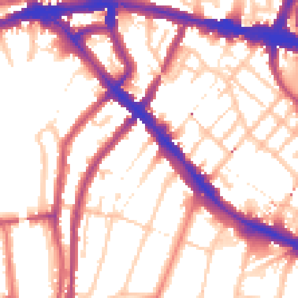
Daytime· 07:00 – 23:00
55.8dB

Night-time· 23:00 – 07:00
46.4dB