48 Birdbrook Road, Greenwich, London, SE3 9QA
About 48 Birdbrook Road
48 Birdbrook Road is a four-bedroom mid-terrace house in Greenwich, London, London (SE3 9QA). It has a recorded floor area of 89 m² (around 958 sq ft), construction records dating it to 1950-1966 and council tax band C. The latest certificate (June 2020) shows a C (score 73). When first surveyed in November 2013 the rating was D, the property has climbed 1 band since. Between certificates, wall efficiency went from Poor to Average, roof efficiency went from Poor to Good and window efficiency went from Very Poor to Average; while hot-water efficiency dropped from Very Good to Good. The recommended improvements would push it to B (score 86).
At 89 m² the property is well over the postcode median (66 m² across 31 EPCs), placing it in the larger end of the local stock. Across 1999–2020, sale prices on this property compounded at 8.5% per year. Today's modelled estimate of £579,000 is 21.9% above the 2020 sale price. On a £-per-square-foot basis, the last sale (£496/sq ft) was about 107.9% above the typical sold price in the postcode. Most recent transfer: December 2020 at £475,000.
Know exactly what you're buying at 48 Birdbrook Road
Before you offer, see what the listing won't tell you, the true value, the red flags and the full history.
Already flagged here
Valuation
against the asking price
Risks
planning & flood
Sold prices
similar homes nearby
Trends
the local market
What this property has
Inside
- Bedrooms4
- Bathrooms1
- Dining roomYes
- EnsuiteYes
Outside
- Private gardenYes
Building
- Central heatingYes
- RefurbishedYes
Energy performance
EPC Rating
Property Improvements
Changes detected from historical EPC data
Hot water system changed
Single glazing replaced with double or better glazing
Cavity wall insulation installed
Loft insulation upgraded to recommended levels
More low energy lighting installed
Planning history
48 Birdbrook Road has no planning applications on record.
Notable planning nearby
1applications of note in the surrounding area
We flagged 1 thing worth checking at 48 Birdbrook Road
Independent checks surfaced things a buyer would want to understand before offering. The report explains each one in full, with the underlying data and what to ask.
- Larger development activity nearby
30-day money-back guarantee
Sales history & valuation
48 Birdbrook Road has more than quadrupled in price since its earliest registered sale in 1999.
£579,000
Modelled from EPC, postcode comparables and a sale-price growth of 8.5% per year over 22 years.
£475,000
Growth on file: 8.5% per year over 22 years.
Sales timeline
18 December 2020Most recent
£475,000
+20.3%over 3 years14 February 2017
£395,000
+387.7%over 17 years24 May 1999
£81,000
Median price across the last 5 sales in SE3 9QA: £365,000 (2021–2018).
Nearby sales in SE3 9QA
18 Birdbrook Road, Greenwich, London, SE3 9QA
Sold Dec 2021
£392,50017 Birdbrook Road, Greenwich, London, SE3 9QA
Sold Sept 2021
£365,00050 Birdbrook Road, Greenwich, London, SE3 9QA
Sold Nov 2020
£460,52740 Birdbrook Road, Greenwich, London, SE3 9QA
Sold Jun 2020
£325,00056 Birdbrook Road, Greenwich, London, SE3 9QA
Sold Nov 2018
£357,000
Everything we know about 48 Birdbrook Road, in one report
What it's really worth, what could be wrong, and the planning, sales and area data in full.
What we flagged
- Larger development activity nearby

Versus other Birdbrook Road homes
On epc rating, 48 Birdbrook Road stands well clear of the street.
Price per m²
£5,337
Street avg £4,035
Floor Area
89 m²
Street avg 70 m²
Habitable Rooms
5 rooms
Street avg 4 rooms
CO₂ Emissions
2.5 t/year
Street avg 2.8 t/year
Similar properties nearby
1 Dalton Terrace, Weigall Road, Greenwich
SE3 9GH
1 Hatcliffe Close, Lewisham
SE3 9UE
1 Glebe Court, The Glebe, Lewisham
SE3 9TH
1 Foxwood Road, Lewisham
SE3 9HT
1 Canal Walk, Meadowcourt Road, Greenwich
SE3 9AT
1 Corner Green, Greenwich
SE3 9JJ
1 Armstrong Close, Greenwich
SE3 9BT
1 Dale Close, Greenwich
SE3 9BB
The neighbourhood at a glance
Rail-style transport is unusually close for this postcode.
Crime
10/mo
Rising year-on-year across the wider district.
Nearest stop
0.2 km
Broad Walk — bus stop.
Closest school
0.6 km
Thomas Tallis School. 45 schools nearby.
Go deeper on the local area
The full report breaks down crime, transport links, schools and air quality in depth.
Road noise across the postcode
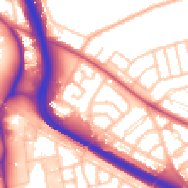
Daytime· 07:00 – 23:00
57.8dB

Night-time· 23:00 – 07:00
49.5dB