5 Paddock Close, Greenwich, London, SE3 0ES
About 5 Paddock Close
5 Paddock Close is a detached house in Greenwich, London, London (SE3 0ES). It has a recorded floor area of 204 m² (around 2197 sq ft), construction records dating it to 1983-1990 and council tax band G. The latest certificate (November 2011) shows a C (score 69), just inside the C band. The latest certificate is from November 2011, so improvements made since then won't be reflected.
Know exactly what you're buying at 5 Paddock Close
Before you offer, see what the listing won't tell you, the true value, the red flags and the full history.
Valuation
against the asking price
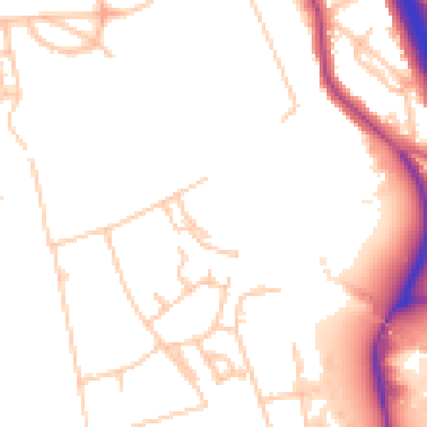
Risks
planning & flood
Sold prices
similar homes nearby
Trends
the local market
Energy performance
5 Paddock Close's carbon output runs well above what efficient homes in the postcode produce.
EPC Expired
This certificate is over 10 years old and is no longer valid.Expired 02 Nov 2021
EPC Rating
Planning history
5 Paddock Close has no planning applications on record.
Notable planning nearby
3applications of note in the surrounding area
Sales history & valuation
5 Paddock Close has no Land Registry sales on file, suggesting it has stayed in the same hands since registration began.
£1,910,000
Modelled from EPC, postcode comparables.
No sales recorded with HM Land Registry
That can mean the property has never traded since the registry began publishing in 1995, was a new build that hasn't been registered yet, or is held in the same hands long-term.
Median price across the last 1 sales in SE3 0ES: £700,000 (2000–2000).
Nearby sales in SE3 0ES
Everything we know about 5 Paddock Close, in one report
What it's really worth, what could be wrong, and the planning, sales and area data in full.
- Am I paying too much?
- Is something wrong with it?
- Is the agent's story true?
- Will it hold its value?

Similar properties nearby
1 Grotes Place, Lewisham
SE3 0QH
1 Eliot Cottages, Hare & Billet Road, Lewisham
SE3 0QJ
1 Cadogan Villas, Kidbrooke Grove, Greenwich
SE3 0PH
1 Camborne Row, Liskeard Gardens, Greenwich
SE3 0PE
1 Duke Humphrey Road, Lewisham
SE3 0TU
1 Collins Street, Lewisham
SE3 0UG
1 Holm Walk, Greenwich
SE3 0HD
1 Eliot Vale, Lewisham
SE3 0UU
The neighbourhood at a glance
Rail-style transport is unusually close for this postcode.
Crime
10/mo
Rising year-on-year across the wider district.
Nearest stop
0.4 km
Wingfield School — bus stop.
Closest school
0.2 km
Brooklands Primary School. 53 schools nearby.
Go deeper on the local area
The full report breaks down crime, transport links, schools and air quality in depth.
Road noise across the postcode
Daytime· 07:00 – 23:00
50.4dB

Night-time· 23:00 – 07:00
41.9dB