16 Gilkes Crescent, Southwark, London, SE21 7BS
About 16 Gilkes Crescent
16 Gilkes Crescent is a property in Southwark, London, London (SE21 7BS). It has council tax band G.
Held since August 2009 — that's 17 years off the open market, well above the local norm. That sale fell during the post-crash dip, which often skews comparisons against later neighbouring sales. 2 planning records sit against the property, 2 approved, 0 refused. Past consents include tree works, an extension and a loft conversion, meaningful when judging how the property has evolved.
Everything you need to know about 16 Gilkes Crescent
The true value, the hidden risks and the full sale history, in one report.
Pick your report · every report is £14.99
One time fee only - money back guarantee

The data behind every report


Energy performance
No EPC on record
This property doesn't have an Energy Performance Certificate yet. An EPC is required to sell or let — and unlocks our automated valuation.
Get a survey for this property
Level 2 HomeBuyer Report
We've checked 10 risk factors against the available data for this property and believe a Level 2 HomeBuyer Report could be a suitable option for you.
Planning history
2 applications on record at 16 Gilkes Crescent, Southwark, London, SE21 7BS
- Dec 2009Loft ConversionFullOutcome in report
Rear dormer roof extension to existing loft room; alterations to existing fenestration to existing rear extension; additional rooflights and side window; all providing additional residential accommodation for dwellinghouse.
Extension- Documents
- 7 docs on file
- Reference
- 09/AP/2306
- More recent applications — locked
- Tree WorksJan 2023Decision
Unlock 16 Gilkes Crescent, Southwark, London, SE21 7BS's full planning history
You're seeing the shape of it. The report has the substance.
- Every decision — granted, refused or withdrawn (2 on record)
- All 2 applications on this property in full
- The 15 documents, officer reports & conditions
- What the pattern means for extending or converting here
One time fee only - money back guarantee
Sales history & valuation
The latest sale fell during the post-2008 dip, often a low-water mark in price comparisons.
£945,000
Recorded with HM Land Registry.
Sales timeline
17 August 2009Most recent
£945,000
Median price across the last 5 sales in SE21 7BS: £1,650,000 (2022–2014).
Nearby sales in SE21 7BS
2 Gilkes Crescent, Southwark, London, SE21 7BS
Sold Oct 2022
£2,400,00012 Gilkes Crescent, Southwark, London, SE21 7BS
Sold Jan 2020
£1,692,50010 Gilkes Crescent, Southwark, London, SE21 7BS
Sold Dec 2019
£1,650,00026 Gilkes Crescent, Southwark, London, SE21 7BS
Sold Dec 2018
£1,600,00024 Gilkes Crescent, Southwark, London, SE21 7BS
Sold Nov 2013
£1,425,000
Everything you need to know about 16 Gilkes Crescent
The true value, the hidden risks and the full sale history, in one report.
Pick your report · every report is £14.99
One time fee only - money back guarantee
The data behind every report
Similar properties nearby
1 Pickwick Road, Southwark
SE21 7JN
1 Druce Road, Southwark
SE21 7DW
1 Pond Cottages, College Road, Southwark
SE21 7LE
1 Gilkes Crescent, Southwark
SE21 7BP
1 Allison Grove, Southwark
SE21 7ER
1 Desenfans Road, Southwark
SE21 7DN
1 Eastlands Crescent, Southwark
SE21 7EG
1 Hunts Slip Road, Southwark
SE21 7LJ
The neighbourhood at a glance
Rail-style transport is unusually close for this postcode.
Crime
6/mo
Rising year-on-year across the wider district.
Nearest stop
0.1 km
Dulwich Village School — bus stop.
Closest school
0.1 km
Dulwich Village Church of England Infants' School. 66 schools nearby.
Go deeper on the local area
A Local Area report breaks down crime, transport links, schools and air quality in depth.
Road noise across the postcode
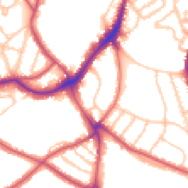
Daytime· 07:00 – 23:00
52.4dB

Night-time· 23:00 – 07:00
41.8dB