18 Dalberg Way, Bexley, London, SE2 9SL
About 18 Dalberg Way
18 Dalberg Way is a two-bedroom property in Bexley, London, London (SE2 9SL). It has council tax band C.
It hasn't traded since July 2007, a hold of 19 years that's notably long for the area. Across the public record there are 6 sales, relatively high churn for a single property. That sale landed at the peak of the pre-credit-crunch market, which is a useful reference point when interpreting the price. Across 1996–2007, sale prices on this property compounded at 15.2% per year.
What this property has
Inside
- Bedrooms2
Outside
- Private gardenRear
- GarageEn bloc
Everything you need to know about 18 Dalberg Way
The true value, the hidden risks and the full sale history, in one report.
Pick your report · every report is £14.99
One time fee only - money back guarantee

The data behind every report


Energy performance
No EPC on record
This property doesn't have an Energy Performance Certificate yet. An EPC is required to sell or let — and unlocks our automated valuation.
Get a survey for this property
Level 2 HomeBuyer Report
We've checked 10 risk factors against the available data for this property and believe a Level 2 HomeBuyer Report could be a suitable option for you.
Planning history
18 Dalberg Way has no planning applications on record.
But the area is active
12 notable applications nearby — larger schemes and conversions that could reshape the street. The report maps them all.
Sales history & valuation
18 Dalberg Way has more than quadrupled in price since its earliest registered sale in 1996.
£166,995
Growth on file: 15.2% per year over 11 years.
Sales timeline
5 July 2007Most recent
£166,995
+19.3%over 3 years17 July 2003
£140,000
+55.6%over 1 year21 December 2001
£90,000
+55.2%over 2 years29 June 1999
£57,995
+28.9%26 February 1999
£45,000
+34.3%over 3 years26 February 1996
£33,500
Median price across the last 5 sales in SE2 9SL: £380,000 (2024–2021).
Nearby sales in SE2 9SL
52 Dalberg Way, Bexley, London, SE2 9SL
Sold Dec 2024
£350,00010 Dalberg Way, Bexley, London, SE2 9SL
Sold Aug 2024
£380,0007 Dalberg Way, Bexley, London, SE2 9SL
Sold Aug 2023
£350,00029 Dalberg Way, Bexley, London, SE2 9SL
Sold Feb 2022
£2,495,00040 Dalberg Way, Bexley, London, SE2 9SL
Sold Jun 2021
£425,000
Everything you need to know about 18 Dalberg Way
The true value, the hidden risks and the full sale history, in one report.
Pick your report · every report is £14.99
One time fee only - money back guarantee
The data behind every report
Similar properties nearby
1 Chalcombe Road, Greenwich
SE2 9QT
1 Devenish Road, Greenwich
SE2 9DA
1 Edington Road, Greenwich
SE2 9JU
1 Boxgrove Road, Greenwich
SE2 9JZ
1 Grovebury Road, Greenwich
SE2 9YA
1 Birkdale Road, Greenwich
SE2 9HU
1 Ampleforth Road, Greenwich
SE2 9BD
1 Bracondale Road, Greenwich
SE2 9HR
The neighbourhood at a glance
Rail-style transport is unusually close for this postcode.
Crime
7/mo
Rising year-on-year across the wider district.
Nearest stop
0.1 km
Lanridge Road — bus stop.
Closest school
0.5 km
Parkway Primary School. 41 schools nearby.
Go deeper on the local area
A Local Area report breaks down crime, transport links, schools and air quality in depth.
Road noise across the postcode
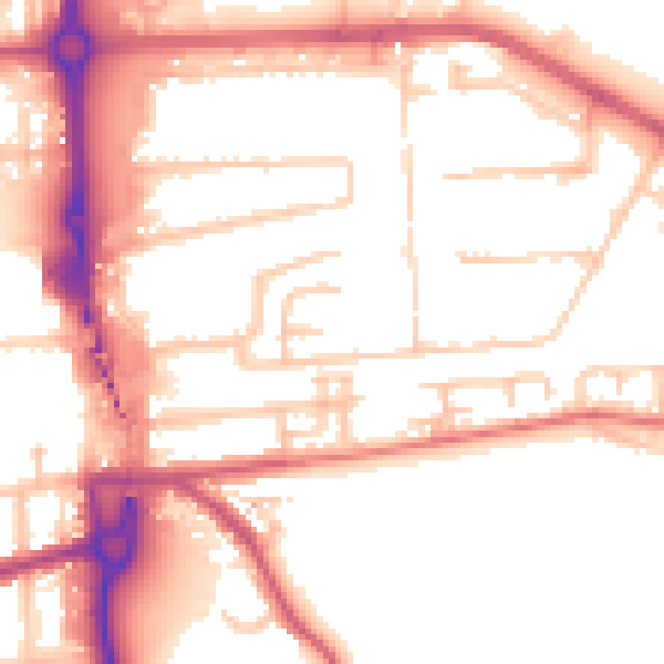
Daytime· 07:00 – 23:00
53.8dB
Night-time· 23:00 – 07:00
43.6dB