89a, Woolwich Road, Bexley, London, SE2 0DY
About 89a
89a is a property in Bexley, London, London (SE2 0DY). It has council tax band E.
2 planning records sit against the property, 1 approved, 1 refused. Past consents include an extension and a conservatory, meaningful when judging how the property has evolved.
Energy performance
No EPC on record
This property doesn't have an Energy Performance Certificate yet. An EPC is required to sell or let — and unlocks our automated valuation.
Get a survey for this property
Level 2 HomeBuyer Report
We've checked 10 risk factors against the available data for this property and believe a Level 2 HomeBuyer Report could be a suitable option for you.
Planning history
- Dec 2004ConservatoryFullOutcome in report
Extension: Single storey · Rear of property
Single storey rear extension and conservatory.
Extension- Documents
- 4 docs on file
- Reference
- 04/05450/FUL
- Oct 2004ExtensionFullOutcome in report
Extension: Side and rear of property
Single storey side/rear extension.
- Documents
- 3 docs on file
- Reference
- 04/04287/FUL
Sales history & valuation
No sales recorded with HM Land Registry
That can mean the property has never traded since the registry began publishing in 1995, was a new build that hasn't been registered yet, or is held in the same hands long-term.
Median price across the last 5 sales in SE2 0DY: £450,000 (2025–2022).
Nearby sales in SE2 0DY
107 Woolwich Road, Bexley, London, SE2 0DY
Sold Nov 2025
£555,00091a, Woolwich Road, Bexley, London, SE2 0DY
Sold Aug 2025
£450,00097a, Woolwich Road, Bexley, London, SE2 0DY
Sold May 2025
£447,500111 Woolwich Road, Bexley, London, SE2 0DY
Sold Apr 2023
£1,00075a, Woolwich Road, Bexley, London, SE2 0DY
Sold Apr 2022
£545,000
Similar properties nearby
1 Alexander Terrace, Fuchsia Street, Greenwich
SE2 0TJ
1 Bastion Road, Greenwich
SE2 0RD
1 Bayley Walk, Bexley
SE2 0DL
1 Bendmore Avenue, Greenwich
SE2 0EY
1 Bevan Road, Greenwich
SE2 0UT
1 Bostall Lane, Greenwich
SE2 0NH
1 Brodrick Grove, Greenwich
SE2 0SR
1 Camrose Street, Greenwich
SE2 0HZ
The neighbourhood at a glance
Reported crime in the wider district is trending notably upward year-on-year.
Crime
7/mo
Rising year-on-year across the wider district.
Nearest stop
0.1 km
The View — bus stop.
Closest school
0.4 km
Bedonwell Infant and Nursery School. 47 schools nearby.
Road noise across the postcode
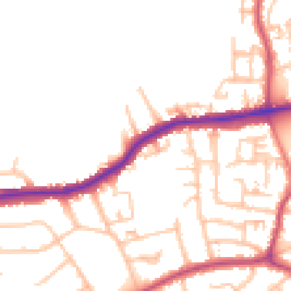
Daytime· 07:00 – 23:00
49.6dB

Night-time· 23:00 – 07:00
39.7dB