Martyn House, Flat 3, Woolwich Road, Bexley, London, SE2 0AN
About Martyn House
Martyn House is a property in Bexley, London, London (SE2 0AN). It has council tax band B.
Energy performance
No EPC on record
This property doesn't have an Energy Performance Certificate yet. An EPC is required to sell or let — and unlocks our automated valuation.
Get a survey for this property
Level 2 HomeBuyer Report
We've checked 10 risk factors against the available data for this property and believe a Level 2 HomeBuyer Report could be a suitable option for you.
Planning history
No planning applications are recorded against Martyn House, Flat 3, Woolwich Road, Bexley, London, SE2 0AN. The full report also covers planning activity across the surrounding area.
Sales history & valuation
No sales recorded with HM Land Registry
That can mean the property has never traded since the registry began publishing in 1995, was a new build that hasn't been registered yet, or is held in the same hands long-term.
Median price across the last 5 sales in SE2 0AN: £161,500 (2018–2005).
Nearby sales in SE2 0AN
Martyn House, Flat 11, Woolwich Road, Bexley, London, SE2 0AN
Sold May 2018
£260,000Martyn House, Flat 4, Woolwich Road, Bexley, London, SE2 0AN
Sold Nov 2015
£212,500Martyn House, Flat 2, Woolwich Road, Bexley, London, SE2 0AN
Sold Jul 2014
£161,500Martyn House, Flat 6, Woolwich Road, Bexley, London, SE2 0AN
Sold Mar 2011
£143,000Martyn House, Flat 9, Woolwich Road, Bexley, London, SE2 0AN
Sold Apr 1999
£50,000
Similar properties nearby
2 6, Flat 1, Basildon Road, Greenwich
SE2 0EW
26a, Flat 2, Bostall Hill, Greenwich
SE2 0RA
26a, Flat 3, Bostall Hill, Greenwich
SE2 0RA
26a, Flat 4, Bostall Hill, Greenwich
SE2 0RA
27a, Flat 1, Wickham Lane
SE2 0XJ
27a, Flat 2, Wickham Lane
SE2 0XJ
Abbey House, Flat 1, New Road, Bexley
SE2 0QA
Abbey House, Flat 2, New Road, Bexley
SE2 0QA
The neighbourhood at a glance
Reported crime in the wider district is trending notably upward year-on-year.
Crime
7/mo
Rising year-on-year across the wider district.
Nearest stop
0.1 km
Hurst Lane — bus stop.
Closest school
0.7 km
Bedonwell Infant and Nursery School. 55 schools nearby.
Road noise across the postcode
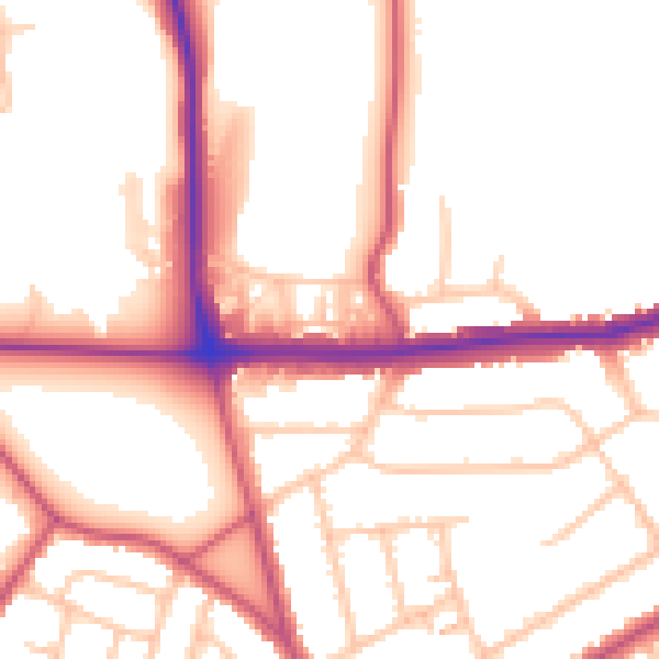
Daytime· 07:00 – 23:00
52.7dB

Night-time· 23:00 – 07:00
42.7dB