Are you a property professional?Get qualified leads from motivated homeowners.
Get started49 Harland Road, Lewisham, London, SE12 0JB
EV charger
About 49 Harland Road
A plain-English summary derived from public records, EPC certificates, sold prices and local data.
49 Harland Road is a three-bedroom semi-detached house in Lewisham, London, London (SE12 0JB). It has a recorded floor area of 129 m² (around 1389 sq ft), construction records dating it to 1900-1929 and council tax band D. The property has an EV charger on record, all of which lower running costs and tend to lift resale appeal. Other recorded features include a conservatory. Records show the property has been extended at some point in its history. The latest certificate (July 2017) shows a D (score 65), on the cusp of jumping into the C band. The recommended improvements would lift it to B (score 81), a 2-band jump.
One planning record on file: an extension approved in 2007. Past consents include an extension, meaningful when judging how the property has evolved. Today's modelled estimate of £726,000 is 40.3% above the 2018 sale price. On a £-per-square-foot basis, the last sale (£373/sq ft) was about 44.8% above the typical sold price in the postcode. Last sold in February 2018, so it's been off the market for around 8 years.
What this property has
Pulled from EPC certificates, claim submissions and our property model. Empty categories are hidden — we only show what's known.
Inside
- Bedrooms3
- Bathrooms1
- Dining roomYes
- ConservatoryYes
Energy performance
Every EPC certificate filed against this property — current rating, recorded improvements, and where there's headroom to reach a higher band.
Recommended upgrades on file would lift this property by multiple EPC bands.
EPC Rating
A
B
C
D
D65
E
F
G
Main Heating
Gas
Main Fuel
Gas
Hot Water
Good
Windows
Average
CO2 Emissions
4.6 t/year
Occupancy
Owner Occupied
Planning history
Applications and permits filed against 49 Harland Road, Lewisham, London, SE12 0JB, sourced from the PlanIt planning register.
49 Harland Road has an approved single-storey side extension on the planning record.
- Nov 2007ExtensionFullGranted
Extension: Single storey · Side of property
The construction of a single storey extension to the side elevation of 49 Harland Road SE12.
Sales history & valuation
Recorded transactions, our model's current estimate, and a quick read on what neighbouring properties have sold for.
49 Harland Road valuation sits well clear of the typical sold price in this postcode.
Current estimate
See how we calculated this£726,000
Modelled from EPC, postcode comparables.
Last sold (2018)
£517,500
Recorded with HM Land Registry.
Sales timeline
Versus other Harland Road homes
Four headline reads against 22 similar houses on this street, drawn from the latest EPC and Land Registry data.
49 Harland Road outperforms the street on epc rating by a wide margin.
Price per m²
£4,012
Street avg £3,620
Floor Area
129 m²
Street avg 129 m²
Habitable Rooms
5 rooms
Street avg 6 rooms
Similar properties nearby
A handful of close matches in the same postcode area, ranked by likeness on bedrooms, type and floor area.
The neighbourhood at a glance
A condensed read of the local area. Each tile links through to the full breakdown on the London district page.
Rail-style transport is unusually close for this postcode.
Crime
8/mo
Rising year-on-year across the wider district.
Nearest stop
0.2 km
Farmcote Road — bus stop.
Road noise across the postcode
Modelled day and night-time noise levels around SE12 0JB from Defra's strategic mapping. The pin marks this postcode's centroid.
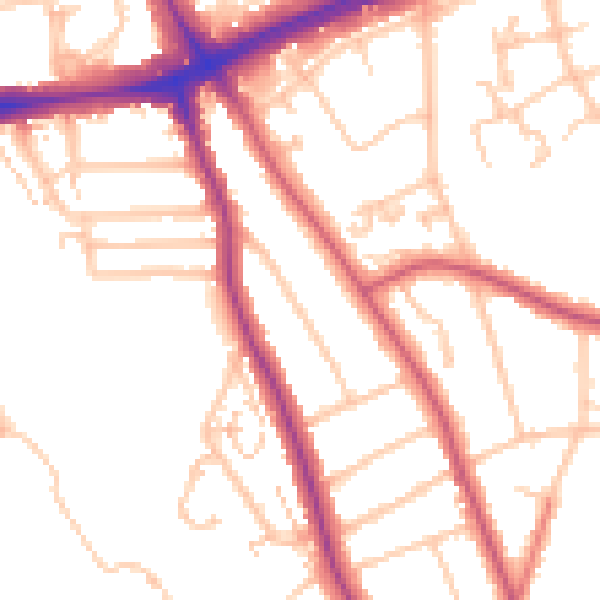
Daytime· 07:00 – 23:00
51.9dB

Everything within walking distance
Schools, transport stops and scenic spots near this property — 80 points of interest in total.
Beautiful places to visit nearby
Curated scenic spots within reach of this postcode, served by Beautifulplaces.ai. Photography and tagging come from their open dataset.
Common questions
The questions buyers, sellers and homeowners most often ask about 49 Harland Road, Lewisham, London, SE12 0JB. Each answer is also embedded as structured data for search engines.