12 Kemsing Road, Greenwich, London, SE10 0LL
About 12 Kemsing Road
12 Kemsing Road is a five-bedroom mid-terrace house in Greenwich, London, London (SE10 0LL). It has a recorded floor area of 135 m² (around 1453 sq ft), construction records dating it to 1900-1929 and council tax band E. The latest certificate (October 2020) shows a C (score 77), near the top of the C band. When first surveyed in February 2015 the rating was D, the property has climbed 1 band since. Between certificates, wall efficiency went from Very Poor to Poor, window efficiency went from Average to Good and lighting went from Good to Very Good. The recommended improvements would push it to B (score 88). Period features are noted in the property record.
One planning record on file: an extension approved in 2016. Past consents include an extension and partial demolition, meaningful when judging how the property has evolved. At 135 m² it's 28% larger than the typical home in the postcode (106 m² median across 26 EPCs). Across 2015–2021, sale prices on this property compounded at 6.5% per year. Today's modelled estimate of £1,075,000 is 10.8% above the 2021 sale price. On a £-per-square-foot basis, the last sale (£668/sq ft) was about 138% above the typical sold price in the postcode. Last sale on file: £970,000 in March 2021. That sale was during the post-pandemic price surge, when transactions cleared materially above pre-2020 trend.
Know exactly what you're buying at 12 Kemsing Road
Before you offer, see what the listing won't tell you, the true value, the red flags and the full history.
Already flagged here
Valuation
against the asking price
Risks
planning & flood
Sold prices
similar homes nearby
Trends
the local market
What this property has
Inside
- Bedrooms5
- Bathrooms3
- Open-plan layoutYes
- Dining roomYes
- EnsuiteYes
Outside
- Private gardenEast-facing
Building
- Period featuresYes
Energy performance
EPC Rating
Property Improvements
Changes detected from historical EPC data
Window efficiency improved
Wall insulation improved
Floor insulation added or improved
More low energy lighting installed
Planning history
Planning history includes recorded demolition works, indicating a major rebuild phase at this address.
- Sept 2016DemolitionOutlineIn report
Extension: Single storey · Rear of property
Demolition of existing lean-to and construction of a single storey rear extension.
Extension- Documents
- 5 docs on file
- Reference
- 16/2968/CP
We flagged 2 things worth checking at 12 Kemsing Road
Independent checks surfaced things a buyer would want to understand before offering. The report explains each one in full, with the underlying data and what to ask.
- Signs of HMO activity in the area
- Larger development activity nearby
30-day money-back guarantee
Sales history & valuation
12 Kemsing Road saw 3 transfers in just over a decade — high turnover for the postcode.
£1,075,000
Modelled from EPC, postcode comparables and a sale-price growth of 6.5% per year over 6 years.
£970,000
Growth on file: 6.5% per year over 6 years.
Sales timeline
26 March 2021Most recent
£970,000
+43.6%over 5 years9 July 2015
£675,512
9 July 2015
£678,512
Median price across the last 5 sales in SE10 0LL: £917,500 (2025–2021).
Nearby sales in SE10 0LL
13 Kemsing Road, Greenwich, London, SE10 0LL
Sold Aug 2025
£800,00014 Kemsing Road, Greenwich, London, SE10 0LL
Sold Sept 2023
£995,00041 Kemsing Road, Greenwich, London, SE10 0LL
Sold May 2022
£917,50029 Kemsing Road, Greenwich, London, SE10 0LL
Sold Dec 2021
£795,00037 Kemsing Road, Greenwich, London, SE10 0LL
Sold Jun 2021
£995,000
Everything we know about 12 Kemsing Road, in one report
What it's really worth, what could be wrong, and the planning, sales and area data in full.
What we flagged
- Signs of HMO activity in the area
- Larger development activity nearby

Versus other Kemsing Road homes
12 Kemsing Road outperforms the street on epc rating by a wide margin.
Price per m²
£7,185
Street avg £6,107
Floor Area
135 m²
Street avg 108 m²
Habitable Rooms
7 rooms
Street avg 6 rooms
CO₂ Emissions
2.8 t/year
Street avg 4.6 t/year
Similar properties nearby
1 Fingal Street, Greenwich
SE10 0JL
1 Caletock Way, Greenwich
SE10 0HW
1 Halstow Road, Greenwich
SE10 0LD
1 Fearon Street, Greenwich
SE10 0RS
1 Attwood Lane, Greenwich
SE10 0UT
1 Dandridge Close, Greenwich
SE10 0RP
1 Gilroy Street, Greenwich
SE10 0DL
1 Fergus Street, Greenwich
SE10 0XQ
The neighbourhood at a glance
Rail-style transport is unusually close for this postcode.
Crime
12/mo
Rising year-on-year across the wider district.
Nearest stop
0.1 km
Kemsing Road — bus stop.
Closest school
0.1 km
Halstow Primary School. 49 schools nearby.
Go deeper on the local area
The full report breaks down crime, transport links, schools and air quality in depth.
Road noise across the postcode
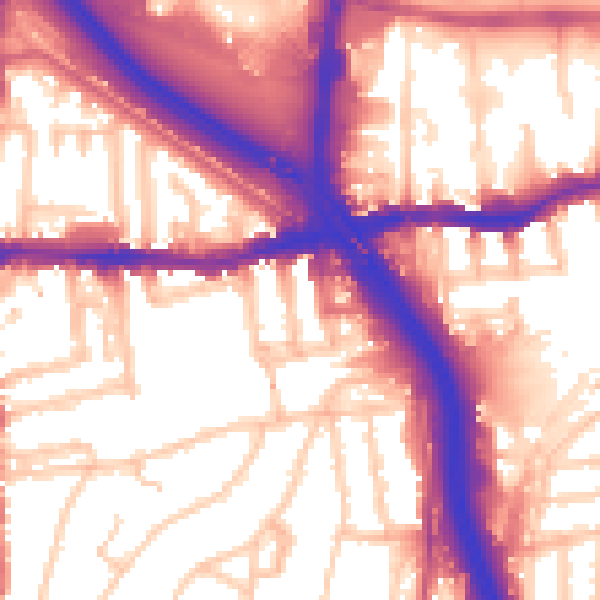
Daytime· 07:00 – 23:00
58.5dB

Night-time· 23:00 – 07:00
49.4dB