34a, Eckington Road, Coal Aston, Dronfield, S18 3AT
About 34a
34a is a four-bedroom detached house in Coal Aston, Dronfield, Dronfield (S18 3AT). It has a recorded floor area of 155 m² (around 1668 sq ft), construction records dating it to 1983-1990 and council tax band F. The latest certificate (April 2016) shows a D (score 63), on the cusp of jumping into the C band. The recommended improvements would push it to C (score 78). The latest certificate is from April 2016, so improvements made since then won't be reflected. Other recorded features include attached land beyond the plot. Records show the property has been extended at some point in its history.
At 155 m² the property is well over the postcode median (68 m² across 10 EPCs), placing it in the larger end of the local stock. One historical planning record sits against the property in 2007. The record references conservation-area consent, which constrain future alterations. Across 2002–2017, sale prices on this property compounded at 5.1% per year. Today's modelled estimate of £622,000 is 49.9% above the 2017 sale price. On a £-per-square-foot basis, the last sale (£249/sq ft) was about 63.3% above the typical sold price in the postcode. Last sold in March 2017, so it's been off the market for around 9 years.
Know exactly what you're buying at 34a
Before you offer, see what the listing won't tell you, the true value, the red flags and the full history.
Valuation
against the asking price
Risks
planning & flood
Sold prices
similar homes nearby
Trends
the local market
What this property has
Inside
- Bedrooms4
- Bathrooms2
Outside
- Private gardenWrap around
- GarageDouble
- LandYes
Building
- Previously extendedYes
- RefurbishedYes
Energy performance
34a's carbon output runs well above what efficient homes in the postcode produce.
EPC Expired
This certificate is over 10 years old and is no longer valid.Expired 19 Apr 2026
EPC Rating
Planning history
34a sits within a conservation area — exterior works face additional planning controls.
- Jun 2007FullIn report
Retention of wooden gazebo to front (Conservation Area)
Conservation Area- Documents
- 28 docs on file
- Reference
- 07/00335/FL
What's in 34a, Eckington Road, Coal Aston, Dronfield, S18 3AT's planning history?
Refusals, disputes and full decisions on this property and nearby, in the report.
Sales history & valuation
34a has more than doubled in price since the earliest registered sale in 2002.
£622,000
Modelled from EPC, postcode comparables and a sale-price growth of 5.1% per year over 15 years.
£415,000
Growth on file: 5.1% per year over 15 years.
Sales timeline
6 March 2017Most recent
£415,000
+107.5%over 14 years16 June 2002
£200,000
Median price across the last 5 sales in S18 3AT: £152,500 (2024–2018).
Nearby sales in S18 3AT
26 Eckington Road, Coal Aston, Dronfield, S18 3AT
Sold Mar 2024
£127,20016 Eckington Road, Coal Aston, Dronfield, S18 3AT
Sold Jun 2022
£615,00036 Eckington Road, Coal Aston, Dronfield, S18 3AT
Sold Sept 2020
£550,0008 Eckington Road, Coal Aston, Dronfield, S18 3AT
Sold May 2018
£130,00028 Eckington Road, Coal Aston, Dronfield, S18 3AT
Sold Mar 2018
£152,500
Everything we know about 34a, in one report
What it's really worth, what could be wrong, and the planning, sales and area data in full.
- Am I paying too much?
- Is something wrong with it?
- Is the agent's story true?
- Will it hold its value?

Versus other Eckington Road homes
34a outperforms the street on price per m² by a wide margin.
Price per m²
£2,677
Street avg £2,091
Floor Area
155 m²
Street avg 124 m²
Habitable Rooms
7 rooms
Street avg 5 rooms
CO₂ Emissions
7.0 t/year
Street avg 7.5 t/year
Similar properties nearby
1 Forresters Lane, Coal Aston
S18 3AN
1 Eckington Road, Coal Aston
S18 3AT
1 Firthwood Close, Coal Aston
S18 3DD
1 The Ridgeway, Coal Aston
S18 3BY
1 Westbank Close, Coal Aston
S18 3DE
1 Stone Close, Coal Aston
S18 3AS
1 Ferndale Road, Coal Aston
S18 3BT
1 Thorpe Avenue, Coal Aston
S18 3BB
The neighbourhood at a glance
Daytime road noise here sits well below conversation level — a quiet pocket of the postcode.
Crime
5/mo
Steady year-on-year across the wider district.
Nearest stop
0.2 km
Wilson Road — bus stop.
Closest school
0.5 km
Northfield Junior School. 18 schools nearby.
Go deeper on the local area
The full report breaks down crime, transport links, schools and air quality in depth.
Road noise across the postcode
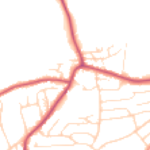
Daytime· 07:00 – 23:00
48.9dB

Night-time· 23:00 – 07:00
40.2dB