1 Forresters Lane, Coal Aston, Dronfield, S18 3AN
About 1 Forresters Lane
1 Forresters Lane is a four-bedroom detached house in Coal Aston, Dronfield, Dronfield (S18 3AN). It has a recorded floor area of 186 m² (around 2002 sq ft) and construction records dating it to before 1900. The latest certificate (January 2011) shows a D (score 60), on the cusp of jumping into the C band. The latest certificate is from January 2011, so improvements made since then won't be reflected.
One planning application is currently pending a decision in 2023. The record references conservation-area consent, which constrain future alterations. Sold June 2019 for £460,000. Across the public record there are 4 sales, relatively high churn for a single property. Across 1999–2019, sale prices on this property compounded at 4.9% per year. Today's modelled estimate of £587,000 is 27.6% above the 2019 sale price.
Know exactly what you're buying at 1 Forresters Lane
Before you offer, see what the listing won't tell you, the true value, the red flags and the full history.
Valuation
against the asking price
Risks
planning & flood
Sold prices
similar homes nearby
Trends
the local market
What this property has
Inside
- Bedrooms4
Energy performance
1 Forresters Lane's carbon output runs well above what efficient homes in the postcode produce.
EPC Expired
This certificate is over 10 years old and is no longer valid.Expired 18 Jan 2021
EPC Rating
Planning history
1 Forresters Lane sits within a conservation area — exterior works face additional planning controls.
- Feb 2023Tree WorksTreesIn report
Notification of intention to fell trees Maple T2, Hawthorn T3, Laburnum T4 and Birch T5 & T6 to combat subsidence damage at 34 Eckington Road Coal Aston covered by Coal Aston Conservation Area
Conservation Area- Documents
- 5 docs on file
- Reference
- 23/00105/CATPO
What's in 1 Forresters Lane, Coal Aston, Dronfield, S18 3AN's planning history?
Refusals, disputes and full decisions on this property and nearby, in the report.
Sales history & valuation
1 Forresters Lane has more than doubled in price since the earliest registered sale in 1999.
£587,000
Modelled from EPC, postcode comparables and a sale-price growth of 4.9% per year over 20 years.
£460,000
Growth on file: 4.9% per year over 20 years.
Sales timeline
20 June 2019Most recent
£460,000
+12.2%over 3 years22 May 2016
£410,000
+12.3%over 11 years21 February 2005
£365,000
+103.9%over 5 years6 October 1999
£179,000
Everything we know about 1 Forresters Lane, in one report
What it's really worth, what could be wrong, and the planning, sales and area data in full.
- Am I paying too much?
- Is something wrong with it?
- Is the agent's story true?
- Will it hold its value?

Similar properties nearby
1 Eckington Road, Coal Aston
S18 3AT
1 Firthwood Close, Coal Aston
S18 3DD
1 The Ridgeway, Coal Aston
S18 3BY
1 Westbank Close, Coal Aston
S18 3DE
1 Stone Close, Coal Aston
S18 3AS
1 Ferndale Road, Coal Aston
S18 3BT
1 Thorpe Avenue, Coal Aston
S18 3BB
1 Ferndale Close, Coal Aston
S18 3BR
The neighbourhood at a glance
Daytime road noise here sits well below conversation level — a quiet pocket of the postcode.
Crime
5/mo
Steady year-on-year across the wider district.
Nearest stop
0.2 km
Methodist Church — bus stop.
Closest school
0.4 km
Northfield Junior School. 18 schools nearby.
Go deeper on the local area
The full report breaks down crime, transport links, schools and air quality in depth.
Road noise across the postcode
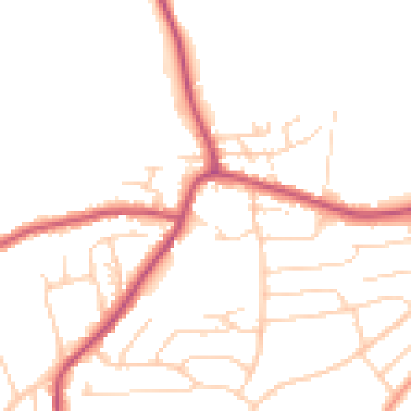
Daytime· 07:00 – 23:00
48.8dB

Night-time· 23:00 – 07:00
40.1dB