18 Eckington Road, Coal Aston, Dronfield, S18 3AT
About 18 Eckington Road
18 Eckington Road is a mid-terrace house in Coal Aston, Dronfield, Dronfield (S18 3AT). It has a recorded floor area of 43 m² (around 463 sq ft), construction records dating it to 1900-1929 and council tax band A. The latest certificate (February 2021) shows a C (score 69), just inside the C band. When first surveyed in March 2014 the rating was G, the property has climbed 4 bands since. Between certificates, roof efficiency went from Very Poor to Good, window efficiency went from Very Poor to Average and hot-water efficiency went from Very Poor to Good. The recommended improvements would push it to B (score 90).
At 43 m² it sits well below the postcode median (102 m² across 10 EPCs), making it one of the more compact homes locally. On energy efficiency it sits in the top 10% of properties in this postcode. One planning record on file: new windows refused in 2016. The record references listed-building consent and conservation-area consent, which constrain future alterations.
Know exactly what you're buying at 18 Eckington Road
Before you offer, see what the listing won't tell you, the true value, the red flags and the full history.
Valuation
against the asking price
Risks
planning & flood
Sold prices
similar homes nearby
Trends
the local market
Energy performance
18 Eckington Road ranks among the most efficient homes in the postcode for energy use.
EPC Rating
Property Improvements
Changes detected from historical EPC data
Upgraded to gas central heating
Hot water system upgraded
Single glazing replaced with double or better glazing
Roof insulation improved
More low energy lighting installed
Planning history
18 Eckington Road has a listed-building consent on record — alterations to a listed property are tightly controlled.
- Mar 2016RenovationFullIn report
Retention of replacement UPVC windows and doors to front and repainting of exterior at 20 Eckington Road and (under Article 4 Direction) (Conservation Area/Affecting Setting of a Listed Building)
ListedConservation AreaNew Windows- Documents
- 10 docs on file
- Reference
- 16/00033/FLH
What's in 18 Eckington Road, Coal Aston, Dronfield, S18 3AT's planning history?
Refusals, disputes and full decisions on this property and nearby, in the report.
Sales history & valuation
18 Eckington Road has no Land Registry sales on file, suggesting it has stayed in the same hands since registration began.
£162,000
Modelled from EPC, postcode comparables.
No sales recorded with HM Land Registry
That can mean the property has never traded since the registry began publishing in 1995, was a new build that hasn't been registered yet, or is held in the same hands long-term.
Median price across the last 5 sales in S18 3AT: £152,500 (2024–2018).
Nearby sales in S18 3AT
26 Eckington Road, Coal Aston, Dronfield, S18 3AT
Sold Mar 2024
£127,20016 Eckington Road, Coal Aston, Dronfield, S18 3AT
Sold Jun 2022
£615,00036 Eckington Road, Coal Aston, Dronfield, S18 3AT
Sold Sept 2020
£550,0008 Eckington Road, Coal Aston, Dronfield, S18 3AT
Sold May 2018
£130,00028 Eckington Road, Coal Aston, Dronfield, S18 3AT
Sold Mar 2018
£152,500
Everything we know about 18 Eckington Road, in one report
What it's really worth, what could be wrong, and the planning, sales and area data in full.
- Am I paying too much?
- Is something wrong with it?
- Is the agent's story true?
- Will it hold its value?

Versus other Eckington Road homes
Floor Area for 18 Eckington Road lags the street by a wide margin.
EPC Rating
69 (C)
Street avg 56 (D)
Floor Area
43 m²
Street avg 136 m²
CO₂ Emissions
2.0 t/year
Street avg 8.0 t/year
Habitable Rooms
2 rooms
Street avg 6 rooms
Similar properties nearby
1 Stone Road, Coal Aston
S18 3AH
10 Eckington Road, Coal Aston
S18 3AT
1 Rawlins Court, Coal Aston
S18 3BL
1 Westbank Court, Westbank Close, Coal Aston
S18 3DF
10 Birches Fold, Coal Aston
S18 3AG
1 Wilson Road, Coal Aston
S18 3AD
1 Cunliffe Street, Coal Aston
S18 3AF
1 Ferndale Close, Coal Aston
S18 3BR
The neighbourhood at a glance
Daytime road noise here sits well below conversation level — a quiet pocket of the postcode.
Crime
5/mo
Steady year-on-year across the wider district.
Nearest stop
0.2 km
Wilson Road — bus stop.
Closest school
0.5 km
Northfield Junior School. 18 schools nearby.
Go deeper on the local area
The full report breaks down crime, transport links, schools and air quality in depth.
Road noise across the postcode
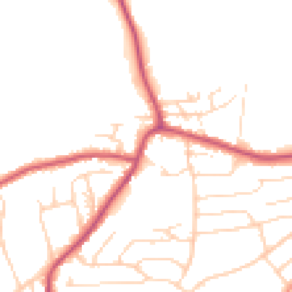
Daytime· 07:00 – 23:00
48.9dB

Night-time· 23:00 – 07:00
40.2dB