17 Elstow Gardens, Dagenham, RM9 6BA
About 17 Elstow Gardens
17 Elstow Gardens is a two-bedroom mid-terrace house in Dagenham (RM9 6BA). It has a recorded floor area of 83 m² (around 893 sq ft), construction records dating it to 1967-1975 and council tax band C. The latest certificate (May 2014) shows a D (score 60), on the cusp of jumping into the C band. The rating has held steady at D across 2 certificates since February 2010. Between certificates, wall efficiency went from Very Poor to Poor and window efficiency went from Poor to Average; while roof efficiency dropped from Average to Very Poor and lighting dropped from Average to Very Poor. The recommended improvements would lift it to B (score 83), a 2-band jump. The latest certificate is from May 2014, so improvements made since then won't be reflected.
Held since July 2010 — that's 16 years off the open market, well above the local norm. Across 1998–2010, sale prices on this property compounded at 8.8% per year. Today's modelled estimate of £340,000 sits 109.2% above the 2010 sale of £162,500. On a £-per-square-foot basis, the last sale (£182/sq ft) was about 22% below the postcode norm. 2 planning records sit against the property, 1 approved, 0 refused. Past consents include an extension, meaningful when judging how the property has evolved. At 83 m² it's 20.3% larger than the typical home in the postcode (69 m² median across 13 EPCs).
Know exactly what you're buying at 17 Elstow Gardens
Before you offer, see what the listing won't tell you, the true value, the red flags and the full history.
Already flagged here
Valuation
against the asking price
Risks
planning & flood
Sold prices
similar homes nearby
Trends
the local market
What this property has
Inside
- Bedrooms2
Energy performance
Recommended upgrades on file would lift this property by multiple EPC bands.
EPC Expired
This certificate is over 10 years old and is no longer valid.Expired 10 May 2024
EPC Rating
Property Improvements
Changes detected from historical EPC data
Windows upgraded, improving insulation
Wall insulation improved
Low energy lighting percentage decreased
Planning history
17 Elstow Gardens has 2 separate extension applications on the council record.
- Oct 2021ExtensionFullIn report
Extension: Single storey · Rear of property
Construction of a first floor rear extension
- Documents
- 9 docs on file
- Reference
- 21/01586/HSE
- Jan 2012ExtensionOutlineIn report
Extension: Single storey · Rear of property
Application for a certificate of lawfulness for a proposed development: Erection of single storey rear extension.
- Documents
- 7 docs on file
- Reference
- 11/00967/CLU_P
We flagged 1 thing worth checking at 17 Elstow Gardens
Independent checks surfaced things a buyer would want to understand before offering. The report explains each one in full, with the underlying data and what to ask.
- Larger development activity nearby
30-day money-back guarantee
Sales history & valuation
Sale price has at least doubled since 1998.
£340,000
Modelled from EPC, postcode comparables and a sale-price growth of 8.8% per year over 12 years.
£162,500
Growth on file: 8.8% per year over 12 years.
Sales timeline
1 July 2010Most recent
£162,500
+6.2%over 5 years25 August 2004
£153,000
+163.8%over 6 years29 April 1998
£58,000
Median price across the last 5 sales in RM9 6BA: £320,000 (2021–2016).
Nearby sales in RM9 6BA
Everything we know about 17 Elstow Gardens, in one report
What it's really worth, what could be wrong, and the planning, sales and area data in full.
What we flagged
- Larger development activity nearby

Versus other Elstow Gardens homes
On price per m², 17 Elstow Gardens runs well behind the street norm.
Price per m²
£1,958
Street avg £3,487
Floor Area
83 m²
Street avg 74 m²
Habitable Rooms
5 rooms
Street avg 4 rooms
CO₂ Emissions
3.9 t/year
Street avg 3.1 t/year
Similar properties nearby
1 Hatfield Mews
RM9 6JQ
1 Blossom Close
RM9 6YE
1 Darcy Gardens
RM9 6BS
1 Chequers Parade, Ripple Road
RM9 6RT
1 Hatfield Road
RM9 6JP
1 Arden Crescent
RM9 6TJ
1 Eaton Gardens
RM9 6ET
1 Burdetts Road
RM9 6XZ
The neighbourhood at a glance
Rail-style transport is unusually close for this postcode.
Crime
16/mo
Steady year-on-year across the wider district.
Nearest stop
0.4 km
Lullington Road — bus stop.
Closest school
0.4 km
Goresbrook School. 49 schools nearby.
Go deeper on the local area
The full report breaks down crime, transport links, schools and air quality in depth.
Road noise across the postcode
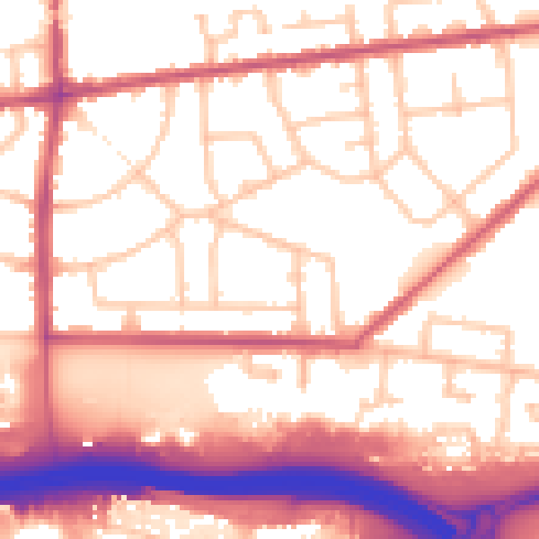
Daytime· 07:00 – 23:00
56.1dB

Night-time· 23:00 – 07:00
47.1dB