8 Denny Gardens, Dagenham, RM9 4DD
About 8 Denny Gardens
8 Denny Gardens is a seven-bedroom end-of-terrace house in Dagenham (RM9 4DD). It has a recorded floor area of 139 m² (around 1496 sq ft), construction records dating it to 1930-1949 and council tax band C. The latest certificate (February 2016) returns a high B (score 85), putting the home a stone's throw from an A rating. The rating has held steady at B across 2 certificates since February 2015. Between certificates, roof efficiency went from Average to Good; while window efficiency dropped from Good to Average and lighting dropped from Very Good to Average. The latest certificate is from February 2016, so improvements made since then won't be reflected. Other recorded features include a self-contained annexe. Records show the property has been extended at some point in its history. The home occupies a cul-de-sac position.
At 139 m² the property is well over the postcode median (68 m² across 17 EPCs), placing it in the larger end of the local stock. On energy efficiency it sits in the top 10% of properties in this postcode. 7 bedrooms is on the larger side for this postcode, where 3 is the typical count. 6 planning records sit against the property, 2 approved, 3 refused. Past consents include an extension, meaningful when judging how the property has evolved. Across 2004–2022, sale prices on this property compounded at 6.4% per year. On a £-per-square-foot basis, the last sale (£351/sq ft) was about 70.3% above the typical sold price in the postcode. Most recent transfer: April 2022 at £525,000. That sale was during the post-pandemic price surge, when transactions cleared materially above pre-2020 trend.
Know exactly what you're buying at 8 Denny Gardens
Before you offer, see what the listing won't tell you, the true value, the red flags and the full history.
Valuation
against the asking price
Risks
planning & flood
Sold prices
similar homes nearby
Trends
the local market
What this property has
Inside
- Bedrooms7
- Bathrooms2
Outside
- Private gardenRear
- Cul-de-sacYes
Building
- Previously extendedYes
Energy performance
8 Denny Gardens ranks among the most efficient homes in the postcode for energy use.
EPC Expired
This certificate is over 10 years old and is no longer valid.Expired 26 Feb 2026
EPC Rating
Property Improvements
Changes detected from historical EPC data
Roof insulation improved
Low energy lighting percentage decreased
Planning history
Council records show a subdivision application — the property's legal arrangement has been altered.
- Dec 2020AmendmentIn report
Application for a lawful development certificate (existing) for the construction of an outbuilding.
Retrospective- Documents
- 8 docs on file
- Reference
- 20/02205/CLUE
- Nov 2020HMOFullIn report
Change of use from a single dwelling house (Class C3) to house in multiple occupations (HMO) use Class C4 for 6 bedrooms
- Documents
- 7 docs on file
- Reference
- 20/01981/FULL
What's in 8 Denny Gardens, Dagenham, RM9 4DD's planning history?
4 more on this property, plus refusals, disputes and full decisions nearby, in the report.
Sales history & valuation
Latest sale on 8 Denny Gardens was the highest on Land Registry record across the postcode.
£577,000
Modelled from EPC, postcode comparables and a sale-price growth of 6.4% per year over 18 years.
£525,000
Growth on file: 6.4% per year over 18 years.
Sales timeline
6 April 2022Most recent
£525,000
+131.8%over 14 years30 March 2008
£226,500
+30.9%over 3 years5 May 2004
£173,000
Median price across the last 5 sales in RM9 4DD: £358,000 (2025–2018).
Nearby sales in RM9 4DD
Everything we know about 8 Denny Gardens, in one report
What it's really worth, what could be wrong, and the planning, sales and area data in full.
- Am I paying too much?
- Is something wrong with it?
- Is the agent's story true?
- Will it hold its value?

Versus other Denny Gardens homes
8 Denny Gardens outperforms the street on epc rating by a wide margin.
Price per m²
£3,777
Street avg £3,246
Floor Area
139 m²
Street avg 74 m²
Habitable Rooms
7 rooms
Street avg 4 rooms
CO₂ Emissions
2.1 t/year
Street avg 3.8 t/year
Similar properties nearby
The neighbourhood at a glance
Rail-style transport is unusually close for this postcode.
Crime
16/mo
Steady year-on-year across the wider district.
Nearest stop
0.1 km
Canonsleigh Road — bus stop.
Closest school
0.4 km
Monteagle Primary School. 56 schools nearby.
Go deeper on the local area
The full report breaks down crime, transport links, schools and air quality in depth.
Road noise across the postcode
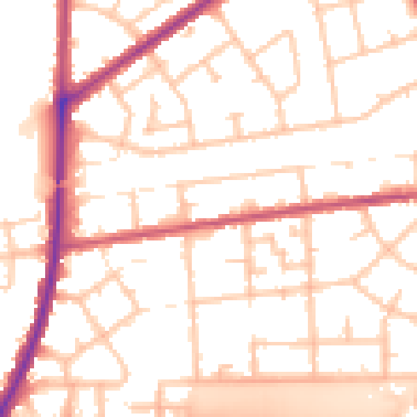
Daytime· 07:00 – 23:00
52.7dB

Night-time· 23:00 – 07:00
43.6dB